
Unidentified monument in the churchyard approximately 12 metres to west of tower to Church of St James
Unidentified monument in the churchyard approximately 12 metres to west of tower to Church of St James, Grade II listed monument in Cranham, Stroud, Gloucestershire, UK
Posizione: Cranham
Coordinate GPS: 51.81022,-2.15974
Ultimo aggiornamento: 26 aprile 2025 alle 12:34
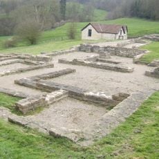
Villa rustica of Great Witcombe
2 km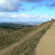
Painswick Hill (or Kimsbury) camp
2.2 km
Cotswold Commons and Beechwoods
1.2 km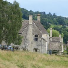
Painswick Lodge
1.9 km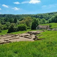
Great Witcombe Roman Villa
2 km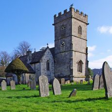
Church of St James
24 m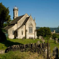
Church of St John the Apostle
2.3 km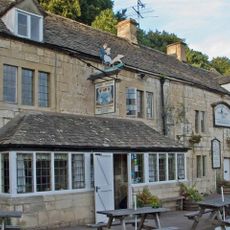
The Butchers Arms
2 km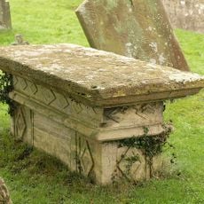
Newarke Monument in the churchyard approximately 6 metres south of south aisle to Church of St James
32 m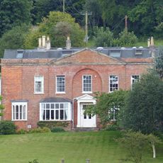
Paradise House
2.3 km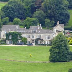
Olivers
1.5 km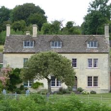
Damsels Farmhouse
1.9 km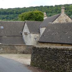
The Grange
2.1 km
The Old Vicarage
2 km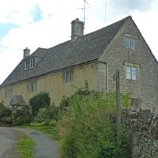
Combe House
2.2 km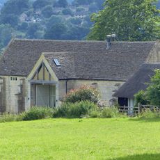
Barn about 80 metres east of Painswick Lodge
1.9 km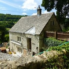
Shetland
2 km
Stable block circa 20 metres south of Paradise House
2.3 km
Bayliss House
2 km
Lodge and walling to The Grange
2.1 km
Barn about 60 metres south east of Painswick Lodge
1.9 km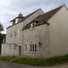
Malt House
2.2 km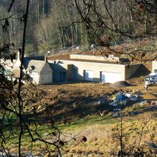
Ladlecombe
1.5 km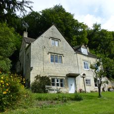
West Hayes
1.9 km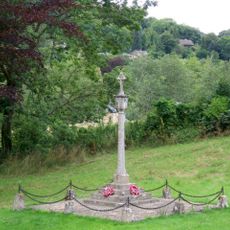
Sheepscombe War Memorial
2.3 km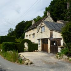
Hill House
2 km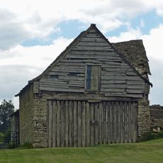
Barn circa 17 metres west of Combe House
2.2 km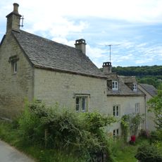
Fortunes Well
2 kmRecensioni
Ha visitato questo luogo? Tocchi le stelle per valutarlo e condividere la Sua esperienza o foto con la community! Provalo ora! Puoi annullarlo in qualsiasi momento.
Scopri tesori nascosti ad ogni viaggio!
Da piccoli caffè caratteristici a panorami nascosti, fuggi dalla folla e scova i posti che fanno davvero per te. La nostra app ti semplifica tutto: ricerca vocale, filtri furbi, percorsi ottimizzati e dritte autentiche da viaggiatori di tutto il mondo. Scaricala subito per vivere l'avventura sul tuo smartphone!

Un nuovo approccio alla scoperta turistica❞
— Le Figaro
Tutti i luoghi che meritano di essere esplorati❞
— France Info
Un’escursione su misura in pochi clic❞
— 20 Minutes