
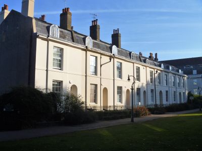
2-7, Dane John, building in Canterbury, Kent, UK
Posizione: Canterbury
Coordinate GPS: 51.27596,1.07966
Ultimo aggiornamento: 3 marzo 2025 alle 12:16
Watling Street
83 m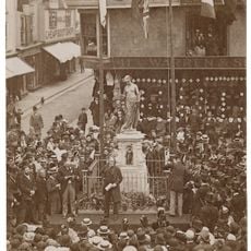
Memorial to Christopher Marlowe
101 m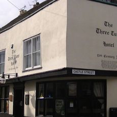
The Queen's Head Hotel
189 m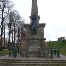
Canterbury Boer War Memorial
87 m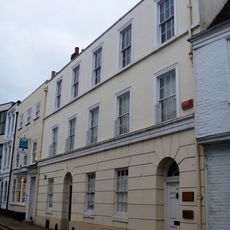
Latchmere House
162 m
28, Watling Street
147 m
No 13 And Attached Boundary Wall
138 m
5 And 6, St Margaret's Street
189 m
1-3, St Mary's Street
170 m
1 and 2, St Margaret's Street
182 m
Margaret's House
193 m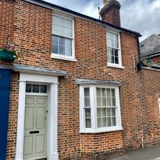
2, Marlowe Avenue
90 m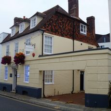
23, Watling Street
162 m
3, Castle Street
194 m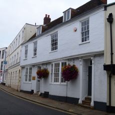
24A And 25, Watling Street
174 m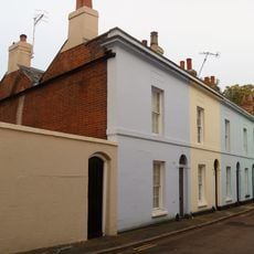
4-7, St Mary's Street
156 m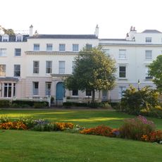
Municipal Buildings
102 m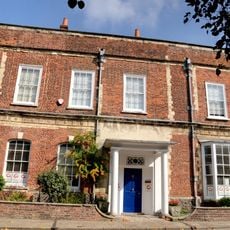
16, Watling Street
110 m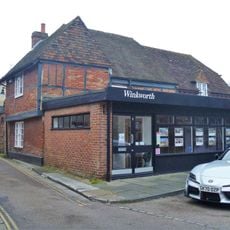
14, St John's Lane
184 m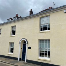
4 Marlowe Avenue
98 m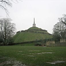
Dane John Mound and Roman and medieval remains in Dane John Garden
126 m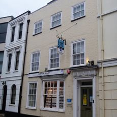
27, Watling Street
152 m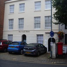
34 And 34A, Watling Street
98 m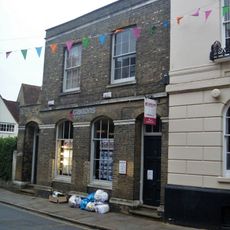
1 and 1A, Castle Street
192 m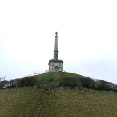
Dane John Mound Pinnacle
172 m
12 And 12A, Dane John
144 m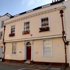
Lullingstone House
197 m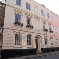
2, Castle Street
194 mRecensioni
Ha visitato questo luogo? Tocchi le stelle per valutarlo e condividere la Sua esperienza o foto con la community! Provalo ora! Puoi annullarlo in qualsiasi momento.
Scopri tesori nascosti ad ogni viaggio!
Da piccoli caffè caratteristici a panorami nascosti, fuggi dalla folla e scova i posti che fanno davvero per te. La nostra app ti semplifica tutto: ricerca vocale, filtri furbi, percorsi ottimizzati e dritte autentiche da viaggiatori di tutto il mondo. Scaricala subito per vivere l'avventura sul tuo smartphone!

Un nuovo approccio alla scoperta turistica❞
— Le Figaro
Tutti i luoghi che meritano di essere esplorati❞
— France Info
Un’escursione su misura in pochi clic❞
— 20 Minutes