
The Earl Of Rutland Hospital, hospital building in Bottesford, Melton, Leicestershire, UK
Posizione: Bottesford
Coordinate GPS: 52.94417,-0.80127
Ultimo aggiornamento: 5 marzo 2025 alle 12:19
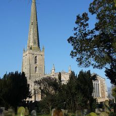
St Mary the Virgin's Church, Bottesford
108 m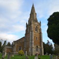
Church of St John the Baptist
2.6 km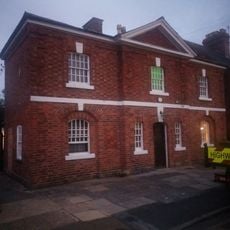
Police Station
250 m
19, Chapel Street
165 m
7, Church Street
202 m
1, Chapel Street
189 m
Bottesford Library
276 m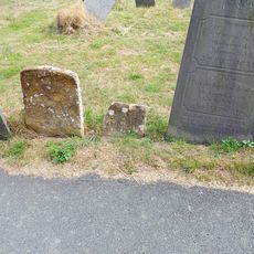
Parker Memorial 5 Metres East Of Church Of St Mary
134 m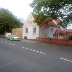
The Red Lion Public House
243 m
4, Queen Street
324 m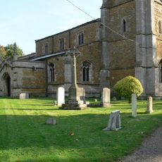
Muston War Memorial
2.6 km
26, Devon Lane
146 m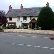
The Thatched Restaurant
431 m
14, Grantham Road
283 m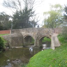
Fleming's Bridge
183 m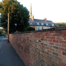
The Rectory
147 m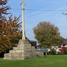
Muston village cross
2.7 km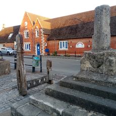
Stocks And Whipping Post
262 m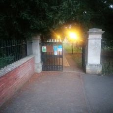
Gate Piers And Gates To Churchyard
180 m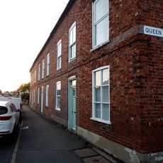
4, 6 And 8, High Street
347 m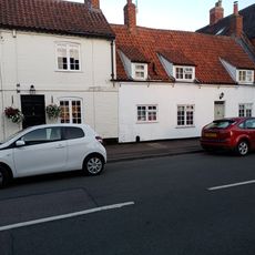
2, Queen Street
334 m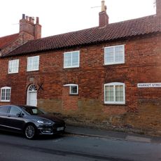
Fleming's House
194 m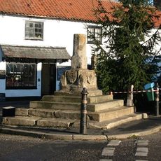
Bottesford Cross
262 m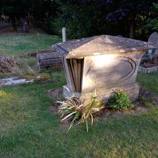
Table Tomb 5 Metres South Of South Transept Of Church Of St Mary
136 m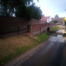
Footbridge
144 m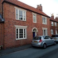
Craven House
206 m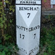
Milepost, Grantham Road, opp. Wyggeston Road
299 m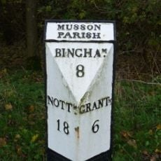
Milepost, Grantham Road; W of A52 jct, W of Muston
1.7 kmRecensioni
Ha visitato questo luogo? Tocchi le stelle per valutarlo e condividere la Sua esperienza o foto con la community! Provalo ora! Puoi annullarlo in qualsiasi momento.
Scopri tesori nascosti ad ogni viaggio!
Da piccoli caffè caratteristici a panorami nascosti, fuggi dalla folla e scova i posti che fanno davvero per te. La nostra app ti semplifica tutto: ricerca vocale, filtri furbi, percorsi ottimizzati e dritte autentiche da viaggiatori di tutto il mondo. Scaricala subito per vivere l'avventura sul tuo smartphone!

Un nuovo approccio alla scoperta turistica❞
— Le Figaro
Tutti i luoghi che meritano di essere esplorati❞
— France Info
Un’escursione su misura in pochi clic❞
— 20 Minutes