
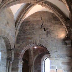
Former Prebyterian Chapel, chapel in Newcastle upon Tyne, Tyne and Wear, UK
Posizione: Newcastle upon Tyne
Coordinate GPS: 54.96822,-1.61272
Ultimo aggiornamento: 7 aprile 2025 alle 15:07
Newcastle upon Tyne Castle
158 m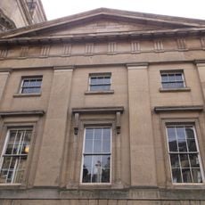
Literary and Philosophical Society of Newcastle upon Tyne
146 m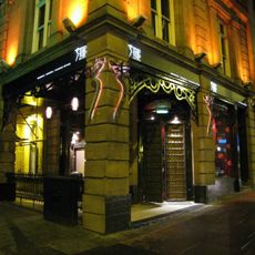
Tup Tup Palace
190 m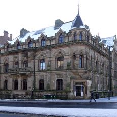
North of England Institute of Mining and Mechanical Engineers
161 m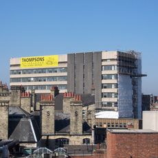
Westgate House, Newcastle upon Tyne
169 m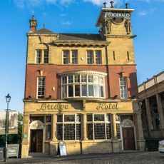
Bridge Hotel
164 m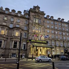
Royal Station Hotel
196 m
Bolbec Hall
140 m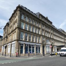
St Nicholas' Buildings
137 m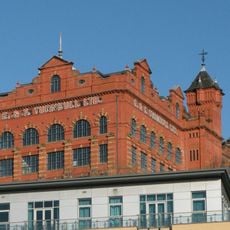
Turnbull's Warehouse
69 m
Irving House
125 m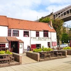
35, Close
193 m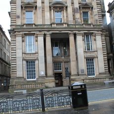
General Post Office And Area Balustrade
171 m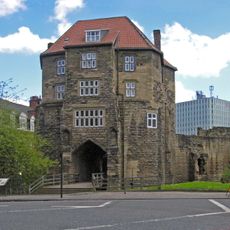
The Black Gate
172 m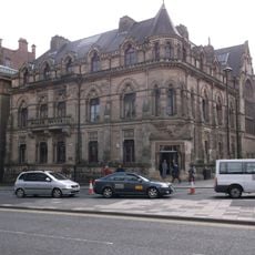
Neville Hall And Wood Memorial Hall
164 m
Town Wall North Of The Close And Breakneck Stairs
171 m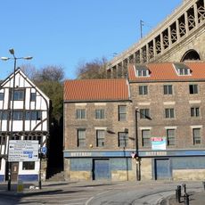
28 And 30, Close
164 m
Sun Insurance Buildings
169 m
Clavering House
41 m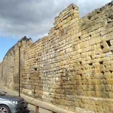
Newcastle upon Tyne town defences: section of curtain wall and town ditch between Forth Street and Hanover Street
98 m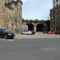
Castle Keep Viaduct
180 m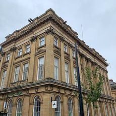
Lloyds Bank
180 m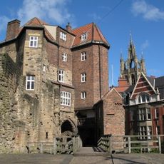
The Barbican Walls Between North Gate Of Castle And Black Gate
180 m
Former Hertz Rent A Car Building
115 m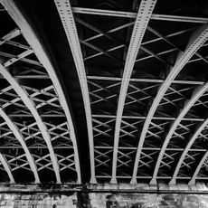
Railway Arch South West Of Black Gate
137 m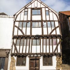
32, Close
150 m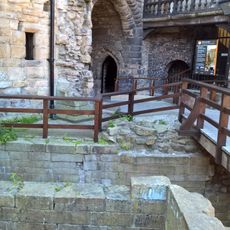
Heron Pit Prison, Drawbridge Pit And Other Under-buildings In Barbican
186 m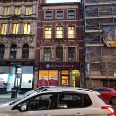
7, Collingwood Street
192 mRecensioni
Ha visitato questo luogo? Tocchi le stelle per valutarlo e condividere la Sua esperienza o foto con la community! Provalo ora! Puoi annullarlo in qualsiasi momento.
Scopri tesori nascosti ad ogni viaggio!
Da piccoli caffè caratteristici a panorami nascosti, fuggi dalla folla e scova i posti che fanno davvero per te. La nostra app ti semplifica tutto: ricerca vocale, filtri furbi, percorsi ottimizzati e dritte autentiche da viaggiatori di tutto il mondo. Scaricala subito per vivere l'avventura sul tuo smartphone!

Un nuovo approccio alla scoperta turistica❞
— Le Figaro
Tutti i luoghi che meritano di essere esplorati❞
— France Info
Un’escursione su misura in pochi clic❞
— 20 Minutes