
Stable To South Of No 15, stable in Westbury, Wiltshire, UK
Posizione: Westbury
Coordinate GPS: 51.26073,-2.18228
Ultimo aggiornamento: 1 aprile 2025 alle 05:01

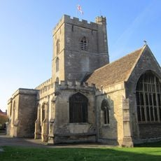
Parish Church of All Saints
130 m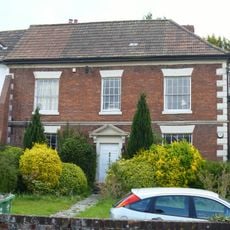
12, Church Street
79 m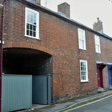
20 and 22, Church Street
42 m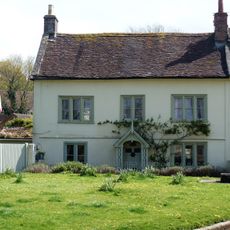
Church View
118 m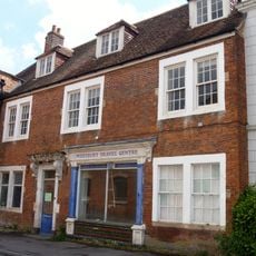
4, Church Street
95 m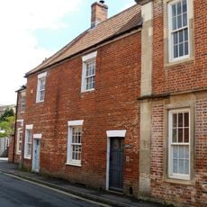
6 and 6A, Church Street
86 m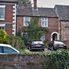
10, Church Street
84 m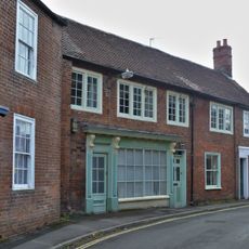
16, 18 and 18A, Church Street
56 m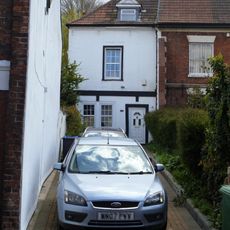
14, Church Street
76 m
Swimming Baths
38 m
Brookhaven
112 m
War Memorial
123 m
14 And 16, Edward Street
163 m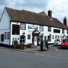
The Angel Inn
90 m
The Angel Mill
63 m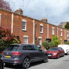
Nos 23 To 33 Together With Front Garden Railings
56 m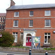
Westbury House
120 m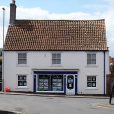
50, Edward Street
129 m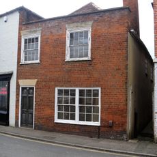
18, Edward Street
156 m
Westbury Post Office
151 m
Garden Walls To North East Of Westbury House
116 m
Ivy House
17 m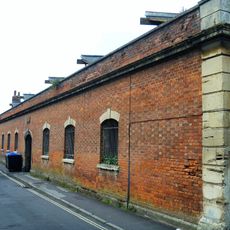
Screen Wall To Angel Mill Opposite Nos 2, 4, 6 And 6A
78 m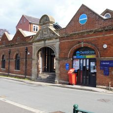
Screen Wall To Angel Mill
91 m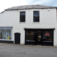
20, Edward Street
152 m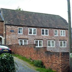
Former Stable Adjoining No 10 To West
90 m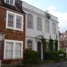
Edgar House
115 m
Church Croft
157 mRecensioni
Ha visitato questo luogo? Tocchi le stelle per valutarlo e condividere la Sua esperienza o foto con la community! Provalo ora! Puoi annullarlo in qualsiasi momento.
Scopri tesori nascosti ad ogni viaggio!
Da piccoli caffè caratteristici a panorami nascosti, fuggi dalla folla e scova i posti che fanno davvero per te. La nostra app ti semplifica tutto: ricerca vocale, filtri furbi, percorsi ottimizzati e dritte autentiche da viaggiatori di tutto il mondo. Scaricala subito per vivere l'avventura sul tuo smartphone!

Un nuovo approccio alla scoperta turistica❞
— Le Figaro
Tutti i luoghi che meritano di essere esplorati❞
— France Info
Un’escursione su misura in pochi clic❞
— 20 Minutes