
Pill Box At Nz 114 985, pillbox in Brinkburn, Northumberland, UK
Posizione: Brinkburn
Coordinate GPS: 55.28083,-1.82222
Ultimo aggiornamento: 17 aprile 2025 alle 18:52
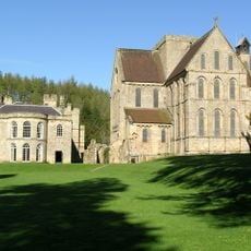
Brinkburn Priory
347 m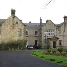
Embleton Hall
3.3 km
Linden Hall
4.4 km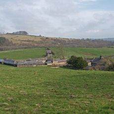
Hydraulic Silo Building 70 Metres East Of Cragend Farmhouse
3.6 km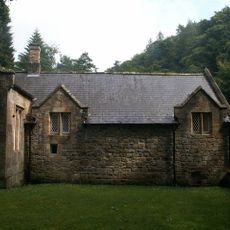
Brinkburn Mill
420 m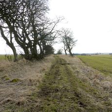
Devil's Causeway
3.1 km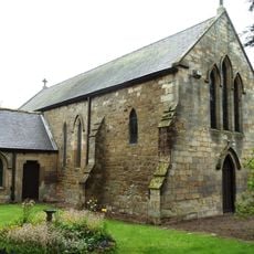
Church of St Thomas of Canterbury (Rc)
5.1 km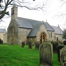
Church of St Mary
3 km
The Priory Church
294 m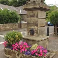
Pant On North Of Junction With Church Street
3.1 km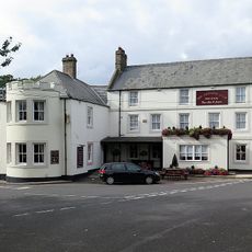
The Anglers Arms
2.3 km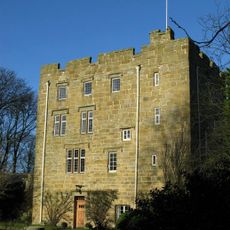
Horsley Tower And Adjacent Outbuilding
5.1 km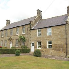
Rookwood House And Adjacent Cottage
2.8 km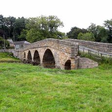
Pauperhaugh Bridge Over The River Coquet
1.6 km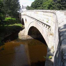
Weldon Bridge, Over River Coquet And Wall To North-west
2.4 km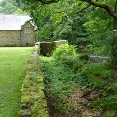
Wall on North Side of Former Mill Race to South East of Manor House
385 m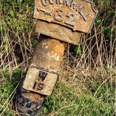
Milepost Opposite Besom Barn Restaurant
3.8 km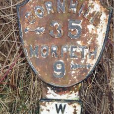
Milepost On East Side Of Old Road Down To Weldon Bridge (Q.V.)
2.6 km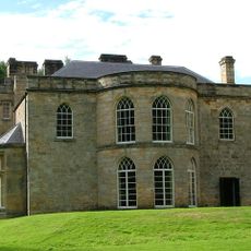
The Manor House
298 m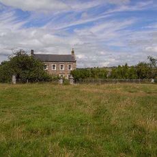
Brinkheugh Farmhouse And Outbuilding To East
717 m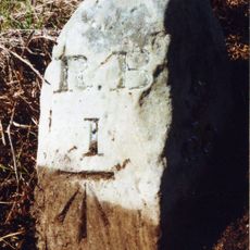
Milestone Circa 1 Mile South Of Rothbury
4.8 km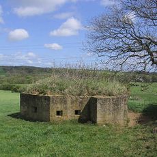
Pill Box At Nz 126 982
1.2 km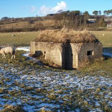
Pill Box At Nz 099 994
1.6 km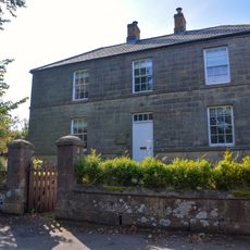
Lishman House
3.1 km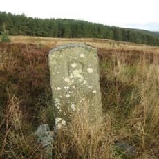
Pair Of Stones On Cartington Longframlington Parish Boundary
4.4 km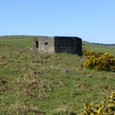
Pill Box At Nu 067005
5 km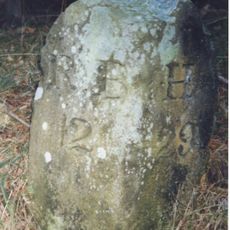
Milestone Circa A Quarter Of A Mile East Of Lordenshaw
5.1 km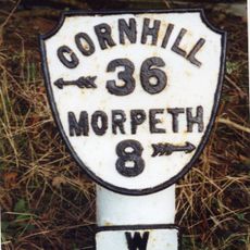
Milepost At Ngr Nz 1429667
3.4 kmRecensioni
Ha visitato questo luogo? Tocchi le stelle per valutarlo e condividere la Sua esperienza o foto con la community! Provalo ora! Puoi annullarlo in qualsiasi momento.
Scopri tesori nascosti ad ogni viaggio!
Da piccoli caffè caratteristici a panorami nascosti, fuggi dalla folla e scova i posti che fanno davvero per te. La nostra app ti semplifica tutto: ricerca vocale, filtri furbi, percorsi ottimizzati e dritte autentiche da viaggiatori di tutto il mondo. Scaricala subito per vivere l'avventura sul tuo smartphone!

Un nuovo approccio alla scoperta turistica❞
— Le Figaro
Tutti i luoghi che meritano di essere esplorati❞
— France Info
Un’escursione su misura in pochi clic❞
— 20 Minutes