
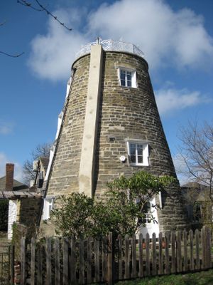
The Round House, former windmill in Leeds, West Yorkshire
Posizione: Leeds
Inizio: 18 secolo
Piani sopra il suolo: 4
Realizzato in: gritstone, wrought iron
Coordinate GPS: 53.82348,-1.54829
Ultimo aggiornamento: 3 marzo 2025 alle 08:27
Woodhouse Ridge
865 m
Sugarwell Court
587 m
Potternewton Heights
504 m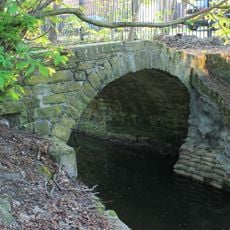
Packhorse bridge over Meanwood Beck
891 m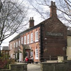
The Mustard Pot Public House And Restaurant
828 m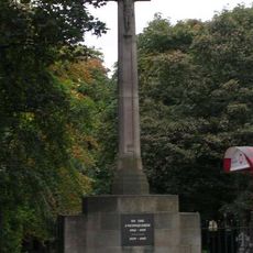
Chapel Allerton War Memorial
892 m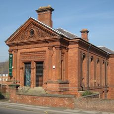
Former Baptist School
616 m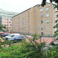
Carr Mills
836 m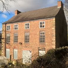
Scott Hall
797 m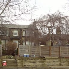
Glan Nua
788 m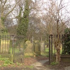
Gateway To Chapel Allerton Old Graveyard
905 m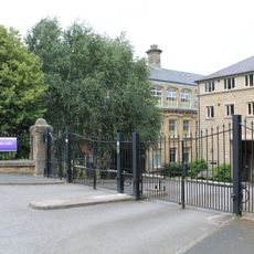
Roadside Railings, Gate Piers And Gate To Sugarwell Court
608 m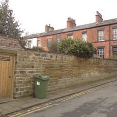
Newton Terrace
756 m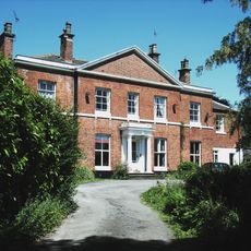
Rose Mount
725 m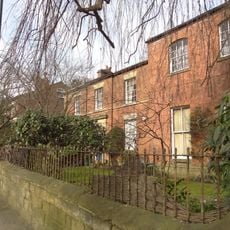
Number 80 And Attached Wall
893 m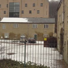
Building Approximately 30 Metres North East Of Entrance To Carr Mills
876 m
Allerton Hall
745 m
70 And 72, Potternewton Lane
803 m
Quarrie Dene
671 m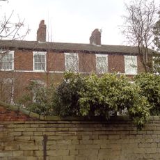
80, 82 And 84, Potternewton Lane
719 m
Boundary Wall To Numbers 66, 68 And 70 (Newton Villa)
614 m
Jubilee Social Club
905 m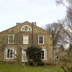
Newton Villa
644 m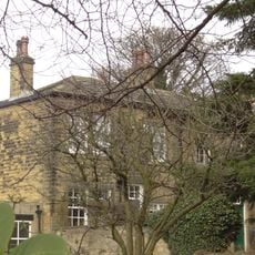
68 And 70, Hen Conner Lane
634 m
Railings And Gate Piers At Chapel Allerton Primary School
814 m
90 And 92, Potternewton Lane
668 m
Entrance Range To Carr Mills
904 m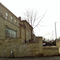
Stratford House
806 mRecensioni
Ha visitato questo luogo? Tocchi le stelle per valutarlo e condividere la Sua esperienza o foto con la community! Provalo ora! Puoi annullarlo in qualsiasi momento.
Scopri tesori nascosti ad ogni viaggio!
Da piccoli caffè caratteristici a panorami nascosti, fuggi dalla folla e scova i posti che fanno davvero per te. La nostra app ti semplifica tutto: ricerca vocale, filtri furbi, percorsi ottimizzati e dritte autentiche da viaggiatori di tutto il mondo. Scaricala subito per vivere l'avventura sul tuo smartphone!

Un nuovo approccio alla scoperta turistica❞
— Le Figaro
Tutti i luoghi che meritano di essere esplorati❞
— France Info
Un’escursione su misura in pochi clic❞
— 20 Minutes