
Lamp Post At Corner With Eastern Road, streetlight in The City of Brighton and Hove, West Sussex, UK
Posizione: Brighton and Hove
Coordinate GPS: 50.82180,-0.12795
Ultimo aggiornamento: 15 aprile 2025 alle 04:35
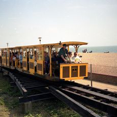
Volk's Electric Railway
441 m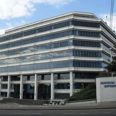
Amex House
366 m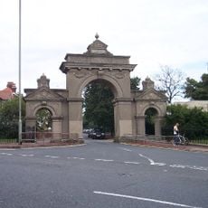
Queen's Park, Brighton
364 m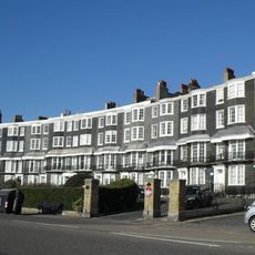
Royal Crescent
413 m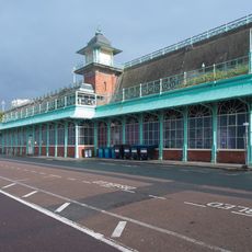
Madeira Terrace And Madeira Walk And Lift Tower And Related Buildings
364 m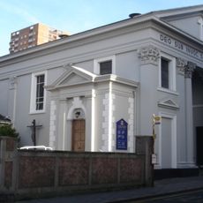
St John the Baptist's Church, Brighton
298 m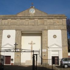
Greek Orthodox Church of the Holy Trinity, Brighton
343 m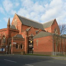
St Mary the Virgin, Brighton
198 m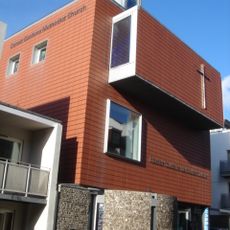
Dorset Gardens Methodist Church
425 m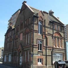
Pelham Institute
236 m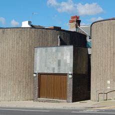
Brighton and Hove National Spiritualist Church
242 m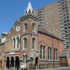
Bristol Road Methodist Church
341 m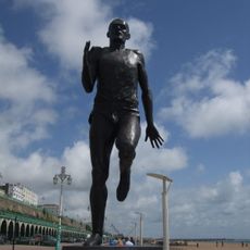
Steve Ovett: Olympian
395 m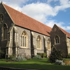
Brighton College Chapel
420 m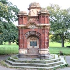
Memorial Drinking Fountain 60 Metres North East Of The Lake
435 m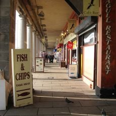
The Colonnade
418 m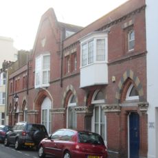
Old Fire Station
278 m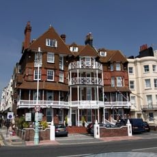
Numbers 70 And 71 And 72 And Attached Piers And Railings
335 m
Number 37 And Attached Railings
399 m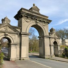
Egremont Gate And Attached Wall And Railings
205 m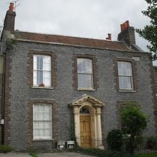
34 And 35, Mighell Street
343 m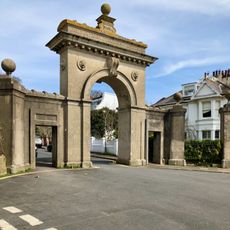
Park Street Gate And Attached Walls And Piers And Railings
175 m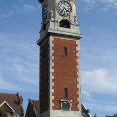
Clock Tower 30 Metres West Of Number 15 East Drive (Number 15 East Drive Not Included)
400 m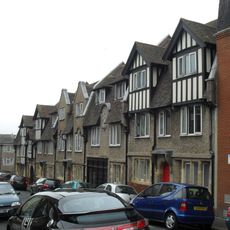
23-30, High Street
309 m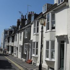
8-19, Camelford Street
392 m
St Josephs Convent Of Mercy
375 m
Numbers 38 And 39 And Attached Walls And Piers
222 m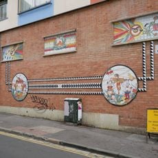
Brighton Project
431 mRecensioni
Ha visitato questo luogo? Tocchi le stelle per valutarlo e condividere la Sua esperienza o foto con la community! Provalo ora! Puoi annullarlo in qualsiasi momento.
Scopri tesori nascosti ad ogni viaggio!
Da piccoli caffè caratteristici a panorami nascosti, fuggi dalla folla e scova i posti che fanno davvero per te. La nostra app ti semplifica tutto: ricerca vocale, filtri furbi, percorsi ottimizzati e dritte autentiche da viaggiatori di tutto il mondo. Scaricala subito per vivere l'avventura sul tuo smartphone!

Un nuovo approccio alla scoperta turistica❞
— Le Figaro
Tutti i luoghi che meritano di essere esplorati❞
— France Info
Un’escursione su misura in pochi clic❞
— 20 Minutes