
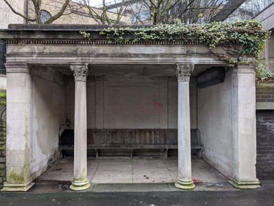
Shelter, Grade II listed building in Stockport, Greater Manchester, UK
Posizione: Stockport
Coordinate GPS: 53.40474,-2.15926
Ultimo aggiornamento: 3 marzo 2025 alle 12:25
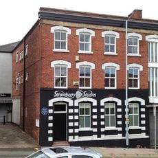
Strawberry Studios
417 m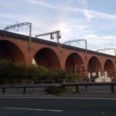
Stockport Viaduct
843 m
Hat Works
468 m
Stockport Town Hall
126 m
St Thomas' Church, Stockport
310 m
Garrick Theatre
407 m
Our Lady and the Apostles Church, Stockport
261 m
St Peter's Church, Stockport
520 m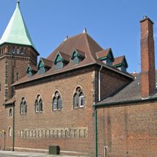
Stockport Armoury
240 m
Millennium House
111 m
Stockport Central Library
401 m
16A and 18, Middle Hillgate
393 m
Statue of Richard Cobden
492 m
Wellington Bridge
537 m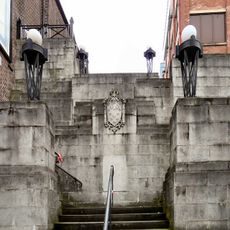
Steps adjacent to former Plaza Cinema
507 m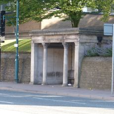
Shelter (east of Stockport Art Galley)
45 m
Wellington Mill
466 m
27, Higher Hillgate
401 m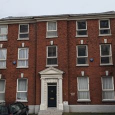
23, Higher Hillgate
381 m
Star and Garter public house
452 m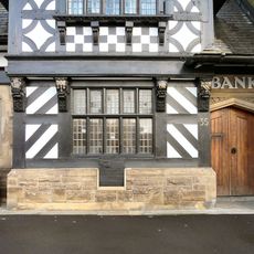
Former District Bank
285 m
St Peters Chambers
528 m
War Memorial Art Gallery
23 m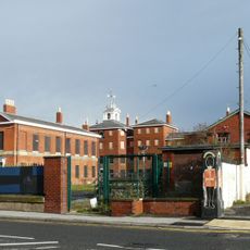
St Thomas Hospital (original building with the rear wing in the courtyard)
337 m
Stockport College of Further and Higher Education Annexe
64 m
4 Corinthian Capitals
71 m
Guidepost
92 m
41 and 43, Greek Street
231 mRecensioni
Ha visitato questo luogo? Tocchi le stelle per valutarlo e condividere la Sua esperienza o foto con la community! Provalo ora! Puoi annullarlo in qualsiasi momento.
Scopri tesori nascosti ad ogni viaggio!
Da piccoli caffè caratteristici a panorami nascosti, fuggi dalla folla e scova i posti che fanno davvero per te. La nostra app ti semplifica tutto: ricerca vocale, filtri furbi, percorsi ottimizzati e dritte autentiche da viaggiatori di tutto il mondo. Scaricala subito per vivere l'avventura sul tuo smartphone!

Un nuovo approccio alla scoperta turistica❞
— Le Figaro
Tutti i luoghi che meritano di essere esplorati❞
— France Info
Un’escursione su misura in pochi clic❞
— 20 Minutes