
Newtown Lock, Spill Weir And Boundary Markers
Newtown Lock, Spill Weir And Boundary Markers, lock in Eastington, Stroud, Gloucestershire, UK
Posizione: Eastington
Coordinate GPS: 51.75028,-2.30681
Ultimo aggiornamento: 14 agosto 2025 alle 18:30

Leonard Stanley Priory
2.8 km
Main Building At Stanley Mills
2.7 km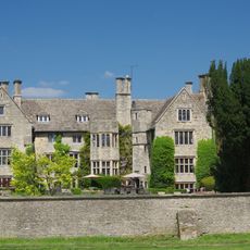
Stonehouse Court Hotel
1.2 km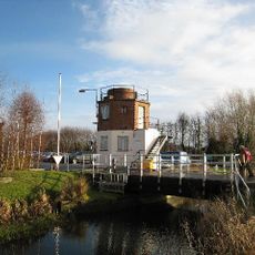
The Gatehouse at Bonds Mill
669 m
Five Acre Grove
1.4 km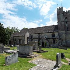
Church of St Michael and Angels
645 m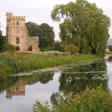
Church of St Cyr, Stonehouse
1.3 km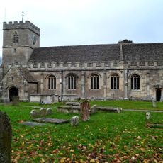
Church of St George
2.7 km
Church of St Nicholas
2.9 km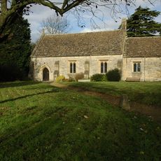
Church of St Andrew
2.6 km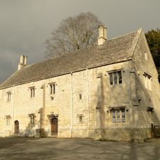
Church House
2.9 km
Wycliffe College Chapel Spire
1.9 km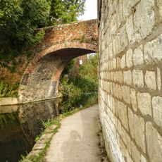
Nutshell Bridge
1.4 km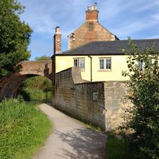
Nutshell Cottage
1.4 km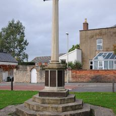
Stonehouse War Memorial
1.6 km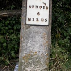
Milestone
2.5 km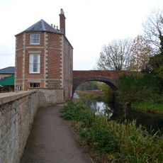
Nutshell House
1.4 km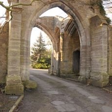
Almory Gateway or Gatehouse
2.9 km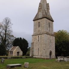
Remains of former Church of St Peter including tower and porch
3.1 km
Frocester Court
2.9 km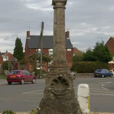
Direction Post
1.5 km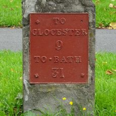
Milestone
1.6 km
Tithe Barn Approximately 80m West Of Frocester Court
2.9 km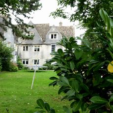
Bridgend House
1.8 km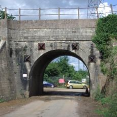
Railway Underpass Bridge
1.4 km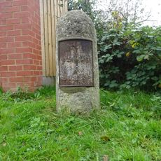
Milestone
1.1 km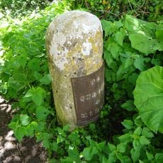
Milestone, Newtown, by side of Stroudwater, beyond New Inn
29 m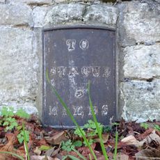
Milestone, Rectory
1.1 kmRecensioni
Ha visitato questo luogo? Tocchi le stelle per valutarlo e condividere la Sua esperienza o foto con la community! Provalo ora! Puoi annullarlo in qualsiasi momento.
Scopri tesori nascosti ad ogni viaggio!
Da piccoli caffè caratteristici a panorami nascosti, fuggi dalla folla e scova i posti che fanno davvero per te. La nostra app ti semplifica tutto: ricerca vocale, filtri furbi, percorsi ottimizzati e dritte autentiche da viaggiatori di tutto il mondo. Scaricala subito per vivere l'avventura sul tuo smartphone!

Un nuovo approccio alla scoperta turistica❞
— Le Figaro
Tutti i luoghi che meritano di essere esplorati❞
— France Info
Un’escursione su misura in pochi clic❞
— 20 Minutes