
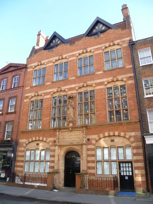
Church Institute & Club, City of Westminster, Greater London, W1U
Posizione: City of Westminster
Coordinate GPS: 51.52059,-0.15265
Ultimo aggiornamento: 10 marzo 2025 alle 16:15
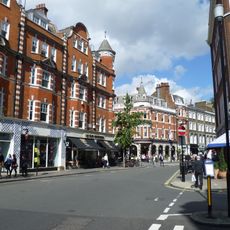
Marylebone High Street
121 m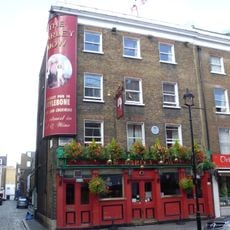
The Barley Mow
227 m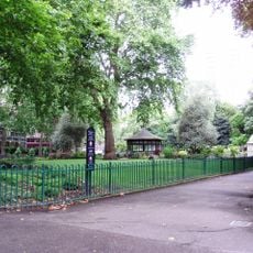
Paddington Street Gardens
116 m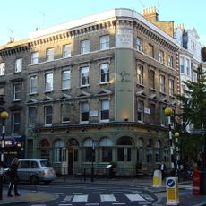
The Old Rising Sun Public House
44 m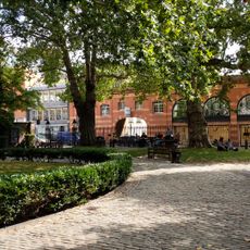
3 Lamp Standards In St Mary's Marylebone Churchyard
232 m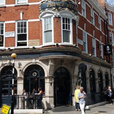
Prince Regent Public House
107 m
4, Nottingham Street W1
99 m
26, Upper Wimpole Street W1
218 m
43, Weymouth Street W1
209 m
Crofton House
220 m
8-13, Upper Wimpole Street W1
235 m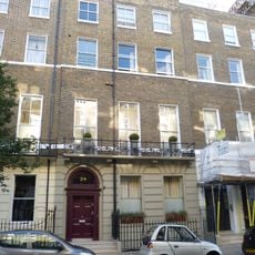
24, Upper Wimpole Street W1
212 m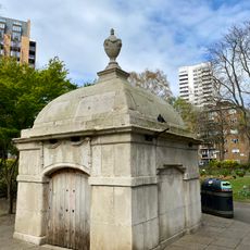
Fitzpatrick Family Mausoleum On East Side Of The Southern Half Of Public Gardens
95 m
34, Weymouth Street
206 m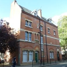
Marylebone Adult Education Centre
187 m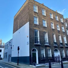
5, Nottingham Street W1
98 m
36, Weymouth Street
192 m
2 And 3, Dorset Street W1
172 m
45-49, Weymouth Street
196 m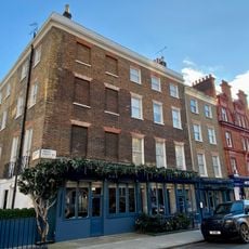
53-55, Dorset Street W1
179 m
14-23, Upper Wimpole Street W1
203 m
25, Upper Wimpole Street W1
215 m
18-27, Manchester Street W1
172 m
3, Nottingham Street W1
100 m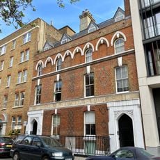
78, Chiltern Street
225 m
2, Nottingham Street W1
102 m
33-41, Devonshire Place W1
215 m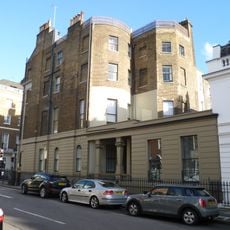
44 And 45, Wimpole Street W1
222 mRecensioni
Ha visitato questo luogo? Tocchi le stelle per valutarlo e condividere la Sua esperienza o foto con la community! Provalo ora! Puoi annullarlo in qualsiasi momento.
Scopri tesori nascosti ad ogni viaggio!
Da piccoli caffè caratteristici a panorami nascosti, fuggi dalla folla e scova i posti che fanno davvero per te. La nostra app ti semplifica tutto: ricerca vocale, filtri furbi, percorsi ottimizzati e dritte autentiche da viaggiatori di tutto il mondo. Scaricala subito per vivere l'avventura sul tuo smartphone!

Un nuovo approccio alla scoperta turistica❞
— Le Figaro
Tutti i luoghi che meritano di essere esplorati❞
— France Info
Un’escursione su misura in pochi clic❞
— 20 Minutes