
Midland Bank, Grade II listed building in Torfaen County Borough. In the Pontypool town centre at the junction of Commercial Street and Crane Street
Posizione: Pontymoile
Altezza sopra il mare: 131,5 m
Coordinate GPS: 51.70314,-3.04118
Ultimo aggiornamento: 25 settembre 2025 alle 08:43

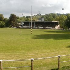
Pontypool Park
504 m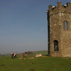
The Folly Tower
2 km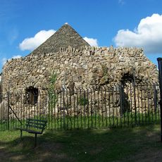
Shell Grotto
1.3 km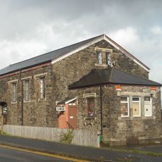
Griffithstown Railway Museum
1.3 km
Town Hall
213 m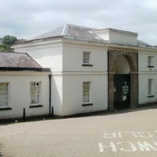
Torfaen Museum
122 m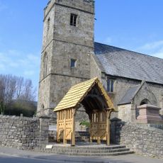
Church of St. Cadoc
1 km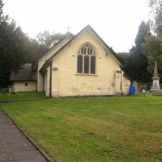
Church Of St Michael And All Angels
2 km
St. Alban's R.C. Church
386 m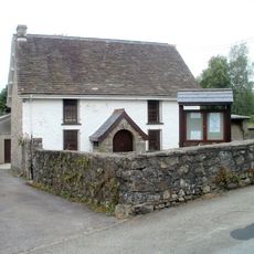
Penygarn Baptist Chapel
662 m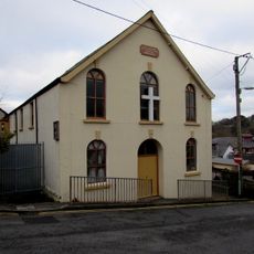
Upper Trosnant Baptist Church
379 m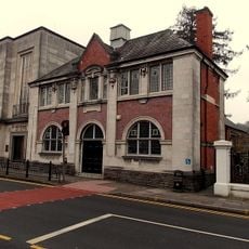
Pontypool Library
196 m
The Horse and Jockey P H
2 km
Junction House at Pontymoile Canal Basin, Monmouthshire and Brecon Canal
1.4 km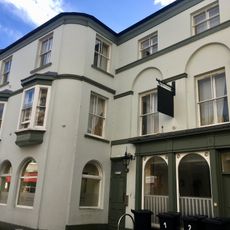
The Greyhound PH
56 m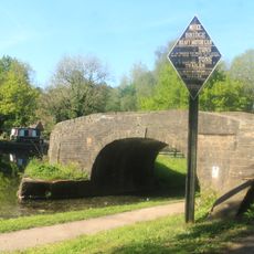
Bridge 53 at Pontymoile Basin, Monmouthshire and Brecon Canal
1.3 km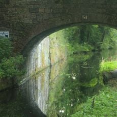
Canal Bridge at Coed-y-Gric
1.5 km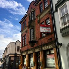
The George
66 m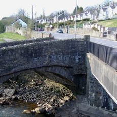
Pont Newynydd
1 km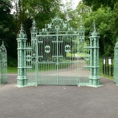
Entrance Gates To Pontypool Park.
1 km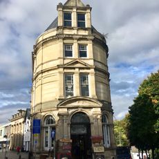
Barclay's Bank
34 m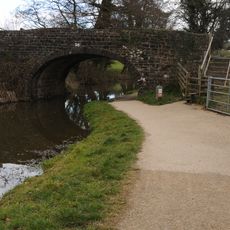
Bridge 56, Monmouthshire and Brecon Canal
1.7 km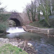
Aqueduct over Afon Lwyd, Monmouthshire and Brecon Canal
1.4 km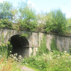
Old railway bridge at Coed-y-Gric
1.5 km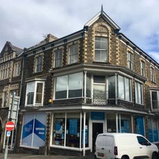
Manchester House, including Mayberry Pharmacy and the Good Job Club
107 m
Old Market House (Second Thoughts)
12 m
Crane Street Baptist Chapel
82 m
Panteg Cemetery Chapel
1.6 kmRecensioni
Ha visitato questo luogo? Tocchi le stelle per valutarlo e condividere la Sua esperienza o foto con la community! Provalo ora! Puoi annullarlo in qualsiasi momento.
Scopri tesori nascosti ad ogni viaggio!
Da piccoli caffè caratteristici a panorami nascosti, fuggi dalla folla e scova i posti che fanno davvero per te. La nostra app ti semplifica tutto: ricerca vocale, filtri furbi, percorsi ottimizzati e dritte autentiche da viaggiatori di tutto il mondo. Scaricala subito per vivere l'avventura sul tuo smartphone!

Un nuovo approccio alla scoperta turistica❞
— Le Figaro
Tutti i luoghi che meritano di essere esplorati❞
— France Info
Un’escursione su misura in pochi clic❞
— 20 Minutes