
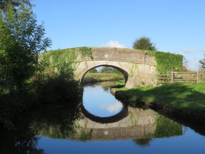
Cornhill Bridge, Grade II listed building in Wrexham County Borough. On farmland approximately 700m SE of Bettisfield church
Posizione: Maelor South
Altezza sopra il mare: 90,8 m
Coordinate GPS: 52.91494,-2.79528
Ultimo aggiornamento: 23 settembre 2025 alle 17:46
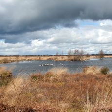
Fenn's, Whixall and Bettisfield Mosses National Nature Reserve
2.2 km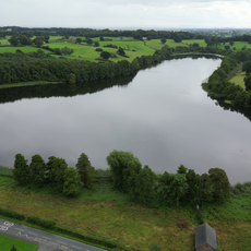
Hanmer Mere
3.9 km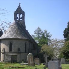
St Michael and All Angels' Church, Welshampton
3.2 km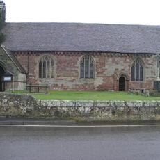
St Mary's Church, Edstaston
6.3 km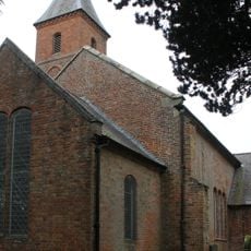
Church of the Holy Trinity
4.4 km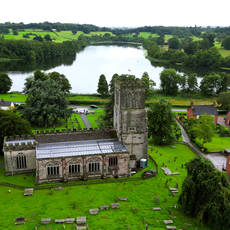
Church Of St Chad, Hanmer
4.3 km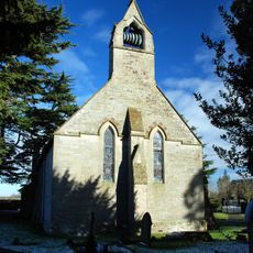
Church of King Charles the Martyr
4.1 km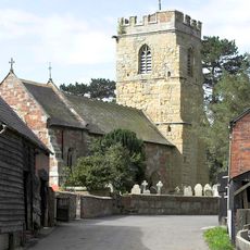
Church of St Michael
6.3 km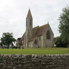
St John the Baptist's Church
661 m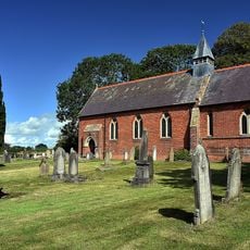
Church of St Mary
5.2 km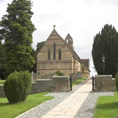
Church of St John the Evangelist
3.9 km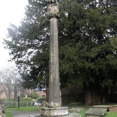
Hanmer Churchyard Cross
4.3 km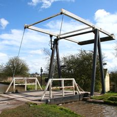
Shropshire Union Canal Morris' Bridge
2.7 km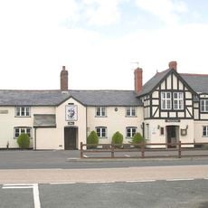
Dymock Arms
6.2 km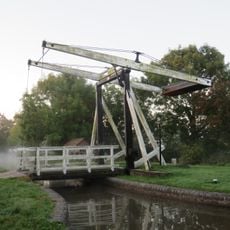
Shropshire Union Canal Allman's Bridge
2.6 km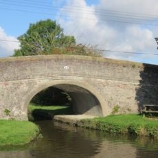
Bettisfield Bridge
666 m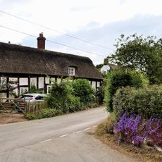
Rose Cottage
3.1 km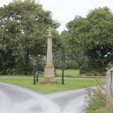
Bronington war memorial
4.6 km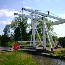
Starks Bridge
2.7 km
Bettisfield Hall
553 m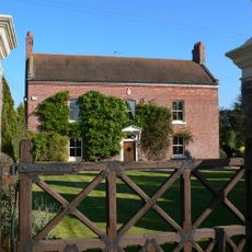
Lowe Hall
6.1 km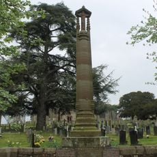
Hanmer War Memorial
4.3 km
Hanmer Voluntary Primary School
4.4 km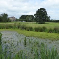
Northwood Hall double moated site
5.2 km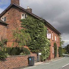
Hanmer Arms
4.4 km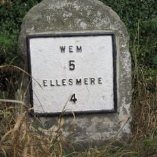
Milestone At Ngr Sj 4574 3392
1.9 km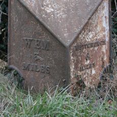
Milepost At Ngr Sj 5246 3345
6.2 km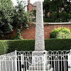
Loppington War Memorial
6.2 kmRecensioni
Ha visitato questo luogo? Tocchi le stelle per valutarlo e condividere la Sua esperienza o foto con la community! Provalo ora! Puoi annullarlo in qualsiasi momento.
Scopri tesori nascosti ad ogni viaggio!
Da piccoli caffè caratteristici a panorami nascosti, fuggi dalla folla e scova i posti che fanno davvero per te. La nostra app ti semplifica tutto: ricerca vocale, filtri furbi, percorsi ottimizzati e dritte autentiche da viaggiatori di tutto il mondo. Scaricala subito per vivere l'avventura sul tuo smartphone!

Un nuovo approccio alla scoperta turistica❞
— Le Figaro
Tutti i luoghi che meritano di essere esplorati❞
— France Info
Un’escursione su misura in pochi clic❞
— 20 Minutes