
Ranmore Common SSSI, UK Site of Special Scientific Interest
Posizione: Mole Valley
Coordinate GPS: 51.24700,-0.36400
Ultimo aggiornamento: 29 aprile 2025 alle 02:49
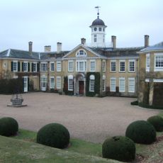
Polesden Lacey
1.3 km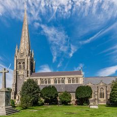
St Martin's Church, Dorking
2.7 km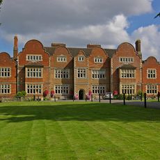
Milton Court
1.9 km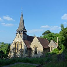
Church of the Holy Trinity
2.6 km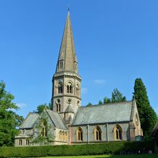
Church of St Barnabas, Ranmore
640 m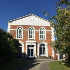
United Reformed Church
2.6 km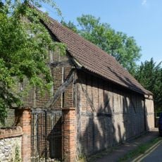
St Michael's Chapel of Ease
2.6 km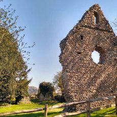
West Humble Chapel
2.6 km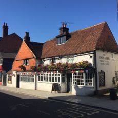
The King's Arms
2.6 km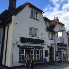
The Spotted Dog Public House
2.7 km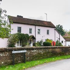
The Old Mill House
2.2 km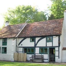
Tanners Hatch
609 m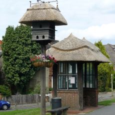
Lt B. B. Geake Memorial Dove Cote, Westcott, Surrey
2.4 km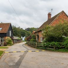
Lower Springfield Farmhouse
2.2 km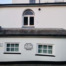
Brookside
2.6 km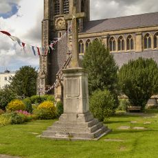
Dorking WWI Memorial Cross
2.8 km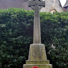
Westcott War Memorial, Surrey
2.6 km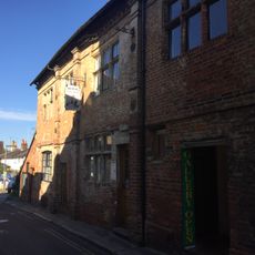
3 And 11, High Street
2.8 km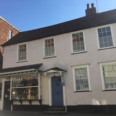
7, West Street
2.7 km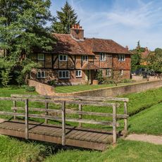
Crooked Acre
2.6 km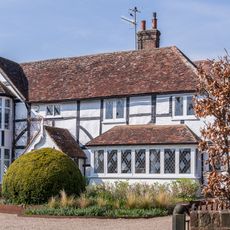
Kingscote
2.3 km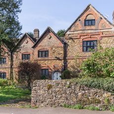
The Barracks
2.3 km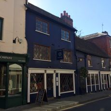
3 And 4, West Street
2.7 km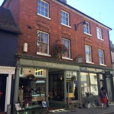
5 And 6, West Street
2.7 km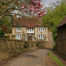
Camilla Lacey Lodge
2.5 km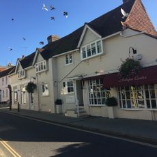
11, West Street
2.7 km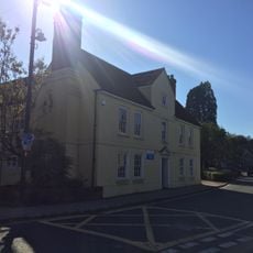
Clarendon House
2.5 km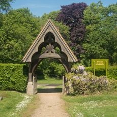
Lych Gate to Church of St Barnabas
633 mRecensioni
Ha visitato questo luogo? Tocchi le stelle per valutarlo e condividere la Sua esperienza o foto con la community! Provalo ora! Puoi annullarlo in qualsiasi momento.
Scopri tesori nascosti ad ogni viaggio!
Da piccoli caffè caratteristici a panorami nascosti, fuggi dalla folla e scova i posti che fanno davvero per te. La nostra app ti semplifica tutto: ricerca vocale, filtri furbi, percorsi ottimizzati e dritte autentiche da viaggiatori di tutto il mondo. Scaricala subito per vivere l'avventura sul tuo smartphone!

Un nuovo approccio alla scoperta turistica❞
— Le Figaro
Tutti i luoghi che meritano di essere esplorati❞
— France Info
Un’escursione su misura in pochi clic❞
— 20 Minutes