
St Thomas-on-the-Bourne, church in Farnham, Surrey, UK
Posizione: Farnham
Inizio: 1911
Coordinate GPS: 51.20306,-0.79194
Ultimo aggiornamento: 6 marzo 2025 alle 06:17

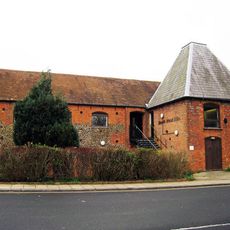
Farnham Maltings
1.1 km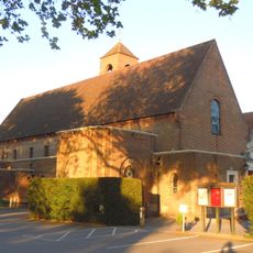
St Joan of Arc's Church, Farnham
916 m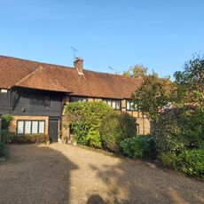
Nos. 1, 2, 3 & 4 Waverley Close, Nos. 5, 6,7 & 8 Broomleaf House, Alexandra Barn And Alexandra House
1 km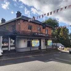
The Blue Boy Railway Hotel
1 km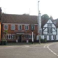
William Cobbett Public House
1 km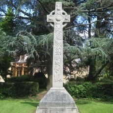
St Thomas-on-the-Bourne War Memorial
69 m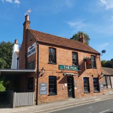
The Fox Public House
521 m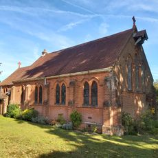
St Martin by the Green
862 m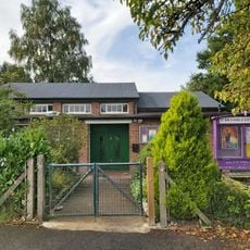
Brambleton Hall
781 m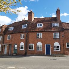
Number 6 (Flats 1 And 2), Numbers 7, 9 And 10 And North Part Of Number 11
1 km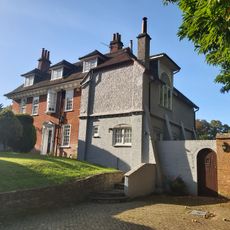
Strangers Corner
646 m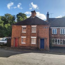
57 59, Abbey Street
1 km
Mavins End Mavins House And Attached Garage
271 m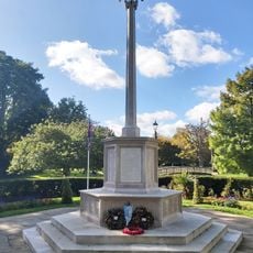
Farnham War Memorial
1.1 km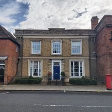
2, Downing Street
1.2 km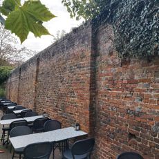
Garden Wall To East Of Number Four
1.2 km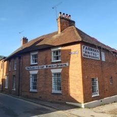
2 4, Red Lion Lane
1 km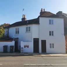
Bridge House
1.1 km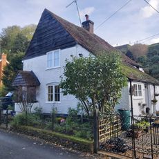
7-11, Red Lion Lane
996 m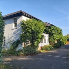
The Manor House
1.1 km
Firgrove Farmhouse And Outbuildings To South
742 m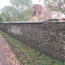
Boundary Wall To Heroncourt Along Ford Lane And Southern Part Of Aveley Lane
983 m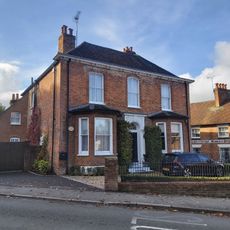
Old Roof
1 km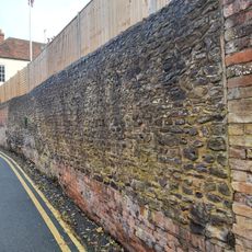
Garden Wall To Old Roof (Along Red Lion Lane)
1 km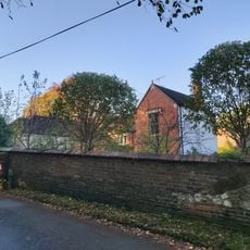
Heroncourt
978 m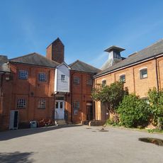
Red Lion Brewery
1.1 km
Numbers 14 To 18 (Consecutively) Including Front Railings To Number 18
1 km
12 And 13, Bridge Square
1 kmRecensioni
Ha visitato questo luogo? Tocchi le stelle per valutarlo e condividere la Sua esperienza o foto con la community! Provalo ora! Puoi annullarlo in qualsiasi momento.
Scopri tesori nascosti ad ogni viaggio!
Da piccoli caffè caratteristici a panorami nascosti, fuggi dalla folla e scova i posti che fanno davvero per te. La nostra app ti semplifica tutto: ricerca vocale, filtri furbi, percorsi ottimizzati e dritte autentiche da viaggiatori di tutto il mondo. Scaricala subito per vivere l'avventura sul tuo smartphone!

Un nuovo approccio alla scoperta turistica❞
— Le Figaro
Tutti i luoghi che meritano di essere esplorati❞
— France Info
Un’escursione su misura in pochi clic❞
— 20 Minutes