
Lizard Lane Heavy Anti-Aircraft Battery, fortification in Whitburn, Tyne and Wear, England, UK
Posizione: South Tyneside
Coordinate GPS: 54.96581,-1.37646
Ultimo aggiornamento: 27 maggio 2025 alle 02:12
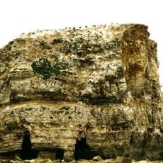
Marsden Rock
1.3 km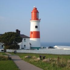
Souter Lighthouse
986 m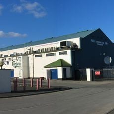
Sunderland Greyhound Stadium
3.5 km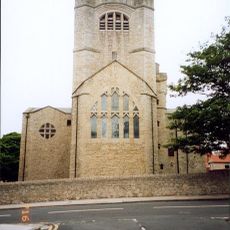
St Andrew's Church, Roker
4.3 km
Roker Park
4.5 km
Municipal Buildings
4.7 km
South Shields Museum And Art Gallery
5.1 km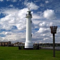
Old South Pier Lighthouse
3.9 km
Parish Church
2 km
Statue of Queen Victoria
4.2 km
Church of All Saints
1.9 km
St. Peter's Church
2.8 km
Cat and Dog Steps
4.1 km
St Jude’s Church Rekendyke
4.5 km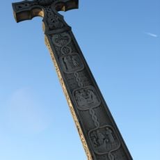
The Bede Memorial
4.4 km
Ocean Beach Pleasure Park
4.8 km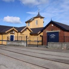
South Shields Volunteer Life Brigage Watch House
5 km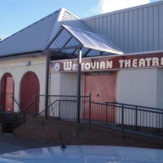
Westovian Theatre Pier Pavilion
4.6 km
Cleadon House
3.5 km
Combined Engine And Boiler Houses, Adjacent Coal Store, Engineman's House And Cottage At Cleadon Pumping Station
1.3 km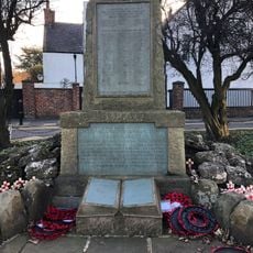
Cleadon War Memorial
2 km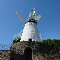
Fulwell Mill
4.3 km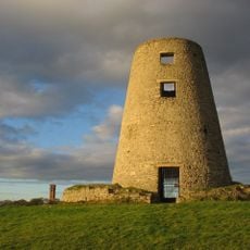
Cleadon Mill
1.2 km
East-West Wall 35 Metres South Of Red Cottage And Linking Wall To House
2.1 km
Souter Point Lighthouse Foghorn To East Of Lighthouse And Steps And Walls To East Of Lighthouse
994 m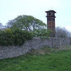
Detached Chimney At Cleadon Pumping Station
1.3 km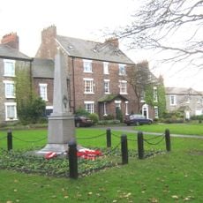
Whitburn War Memorial
1.9 km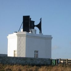
Souter Lighthouse foghorn
994 mRecensioni
Ha visitato questo luogo? Tocchi le stelle per valutarlo e condividere la Sua esperienza o foto con la community! Provalo ora! Puoi annullarlo in qualsiasi momento.
Scopri tesori nascosti ad ogni viaggio!
Da piccoli caffè caratteristici a panorami nascosti, fuggi dalla folla e scova i posti che fanno davvero per te. La nostra app ti semplifica tutto: ricerca vocale, filtri furbi, percorsi ottimizzati e dritte autentiche da viaggiatori di tutto il mondo. Scaricala subito per vivere l'avventura sul tuo smartphone!

Un nuovo approccio alla scoperta turistica❞
— Le Figaro
Tutti i luoghi che meritano di essere esplorati❞
— France Info
Un’escursione su misura in pochi clic❞
— 20 Minutes