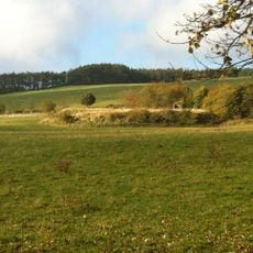
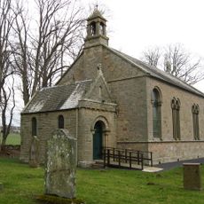
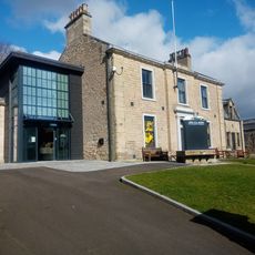
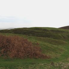
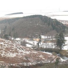
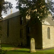
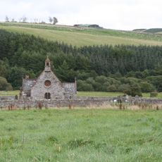
Cranshaws, Scottish parish in Scottish Borders, Scotland, UK
Posizione: Scottish Borders
Parte di: Presbytery of Duns
Confina con: Abbey St Bathans, Duns, Longformacus, Whittingehame, Stenton, Innerwick, Spott
Coordinate GPS: 55.84626,-2.48407
Ultimo aggiornamento: 13 aprile 2025 alle 01:10
Castello di Duns
10.7 km
Edin's Hall Broch
7.5 km
Cranshaws Castle
1.6 km
White Castle, East Lothian
11 km
Bonkyll Castle
10.9 km
Bonkyl Kirk
11.2 km
Dirrington Great Law
6.6 km
Longformacus House
4.3 km
Mutiny Stones
7.9 km
Blackcastle Hill, East Lothian
10.3 km
Evelaw Tower
9.7 km
Gamelshiel Castle
5.9 km
Whiteadder Reservoir
4.9 km
Jim Clark Motorsport Museum
11.4 km
White Castle Fort,settlement 500m NW of,Fallow Green Rig
11.6 km
The Retreat
7.4 km
Cranshaws Parish Church
622 m
Oldhamstocks, Oldhamstocks Parish Church
9.9 km
Preston Bridge
10.1 km
Cumledge, Stables And Granary
10.5 km
Duns, 44 Newtown Street, Westwood
11.4 km
Bonkyl And Preston Parish Church, Churchyard
11.2 km
Oldhamstocks, Village Green, Pump
10 km
Duns, 40 Newtown Street
11.4 km
Manse, Cranshaws Parish Church
715 m
Longformacus Parish Church, Burial Ground
4.3 km
Cranshaws Parish Church, Churchyard
626 m
Preston Market Cross
10.5 kmHa visitato questo luogo? Tocchi le stelle per valutarlo e condividere la Sua esperienza o foto con la community! Provalo ora! Puoi annullarlo in qualsiasi momento.
Scopri tesori nascosti ad ogni viaggio!
Da piccoli caffè caratteristici a panorami nascosti, fuggi dalla folla e scova i posti che fanno davvero per te. La nostra app ti semplifica tutto: ricerca vocale, filtri furbi, percorsi ottimizzati e dritte autentiche da viaggiatori di tutto il mondo. Scaricala subito per vivere l'avventura sul tuo smartphone!
Un nuovo approccio alla scoperta turistica❞
— Le Figaro
Tutti i luoghi che meritano di essere esplorati❞
— France Info
Un’escursione su misura in pochi clic❞
— 20 Minutes