
Former oasthouse about 12 metres east south east of Boughton Place
Former oasthouse about 12 metres east south east of Boughton Place, oast house in Boughton Malherbe, Kent, UK
Posizione: Boughton Malherbe
Coordinate GPS: 51.21479,0.69387
Ultimo aggiornamento: 25 novembre 2023 alle 01:46
Chilston Park
1.3 km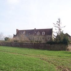
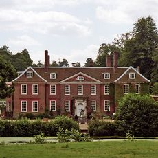
Boughton Place
47 m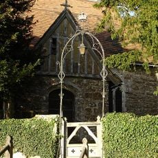
Church of St Nicholas
68 m
The Kings Head Public House
1.1 km
Lewsome Farmhouse
794 m
Cherry Tree Cottage Lavender Cottage Rosemary Cottage
1.2 km
Churchill Cottage
891 m
Ridding House
1.1 km
Plough House
908 m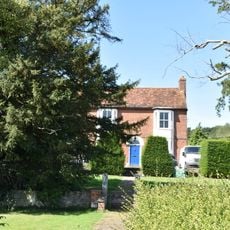
Marchant Farmhouse
1.3 km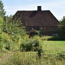
The Homestead
1.3 km
Oast House At Tq 870 499
1.3 km
Stream Farmhouse
955 m
Oast House Circa 15 Yards North Of Elmstone Hole Farmhouse
1.3 km
Mansion Farmhouse
893 m
Dunromin Fermor Cottage Fermors Cottage
1.2 km
Liberton Hall and Liberton Cottage
1.1 km
24, 26, 28A And 28B, Lenham Road
1.2 km
Bowley Cottage Bowley Hall Cottage
928 m
Ivy House Farm
916 m
Elmstone Farmhouse
1.3 km
Stables and Mounting Block about 30 metres North West of Chilston Park
1.3 km
Hazel Hill Cottage
1.3 km
Former Coachman's cottages about 30 metres West of Chilston Park
1.3 km
1 and 2, Liverton Street
916 m
Elmstone Hole Farmhouse
1.3 km
The Old Rectory
255 m
The Cottage
27 mRecensioni
Ha visitato questo luogo? Tocchi le stelle per valutarlo e condividere la Sua esperienza o foto con la community! Provalo ora! Puoi annullarlo in qualsiasi momento.
Scopri tesori nascosti ad ogni viaggio!
Da piccoli caffè caratteristici a panorami nascosti, fuggi dalla folla e scova i posti che fanno davvero per te. La nostra app ti semplifica tutto: ricerca vocale, filtri furbi, percorsi ottimizzati e dritte autentiche da viaggiatori di tutto il mondo. Scaricala subito per vivere l'avventura sul tuo smartphone!

Un nuovo approccio alla scoperta turistica❞
— Le Figaro
Tutti i luoghi che meritano di essere esplorati❞
— France Info
Un’escursione su misura in pochi clic❞
— 20 Minutes