
Gibson headstone 13 metres south-east of Church of St Andrew
Gibson headstone 13 metres south-east of Church of St Andrew, headstone in Shotley, Northumberland, UK
Posizione: Shotley Low Quarter
Coordinate GPS: 54.89146,-1.93059
Ultimo aggiornamento: 14 maggio 2025 alle 21:12

Derwent Reservoir
4.4 km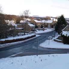
Vindomora
5.9 km
Minsteracres
2.1 km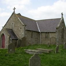
St Andrew's Church
27 m
Burnhope Burn
4.7 km
Shotley Hall
4.9 km
Shotley Park
5.2 km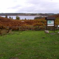
Pow Hill Bog
4.9 km
Hindley Hall
4 km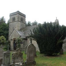
Church of St John
4.4 km
Church of St Ebba
5.8 km
St Philip & St James
3.3 km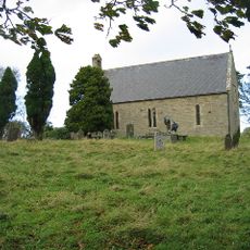
Church of All Saints
5.2 km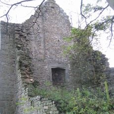
Remains Of Manor House At Priory Farm
5.2 km
Allensford Mill Farmhouse And Adjacent Outbuildings
5.8 km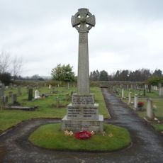
Shotley Low Quarter War Memorial
3.2 km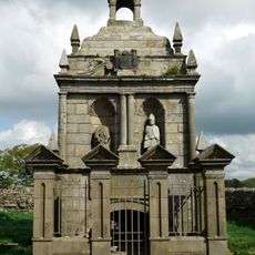
Hopper Mausoleum north-east of Church of St Andrew
22 m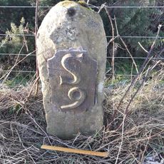
Milestone 110 Metres North Of Entrance To Eddisbridge Farm
3.9 km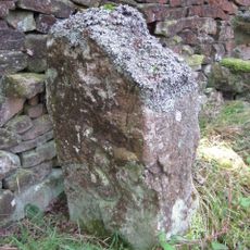
Boundary Stone On South Side Of Road At Ngr Ny 99315478
5.2 km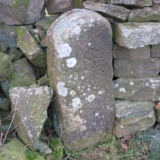
Boundary Stone 10 Metres North Of Road 700 Metres East Of Farmhouse
1.6 km
Shotley Bridge
5.1 km
Crooked Oak Farmhouse
5.5 km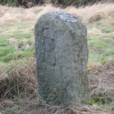
The Hare Stone
4.8 km
Grange Farmhouse And Gin Gang
5.1 km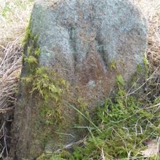
Boundary Stone About 500 Metres North East Of Shotley Spa
5.1 km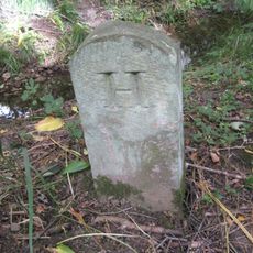
Boundary Stone At Ngr Nz 09705632, On West Side Of Mill Burn
5.3 km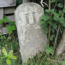
Boundary Stone On South Side Of Mill Barn
4.7 km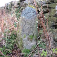
Donald's Grave, On South Side Of Road 10 Metres East Of Track To Slaley Hall
4.5 kmRecensioni
Ha visitato questo luogo? Tocchi le stelle per valutarlo e condividere la Sua esperienza o foto con la community! Provalo ora! Puoi annullarlo in qualsiasi momento.
Scopri tesori nascosti ad ogni viaggio!
Da piccoli caffè caratteristici a panorami nascosti, fuggi dalla folla e scova i posti che fanno davvero per te. La nostra app ti semplifica tutto: ricerca vocale, filtri furbi, percorsi ottimizzati e dritte autentiche da viaggiatori di tutto il mondo. Scaricala subito per vivere l'avventura sul tuo smartphone!

Un nuovo approccio alla scoperta turistica❞
— Le Figaro
Tutti i luoghi che meritano di essere esplorati❞
— France Info
Un’escursione su misura in pochi clic❞
— 20 Minutes