
Table tomb about 2 metres north of porch of Church of All Saints
Table tomb about 2 metres north of porch of Church of All Saints, table tomb in Hollingbourne, Kent, UK
Posizione: Hollingbourne
Coordinate GPS: 51.26528,0.64081
Ultimo aggiornamento: 7 giugno 2025 alle 20:40
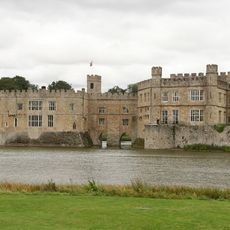
Castello di Leeds
2 km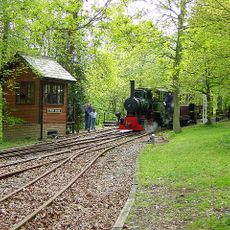
Bredgar and Wormshill Light Railway
4.6 km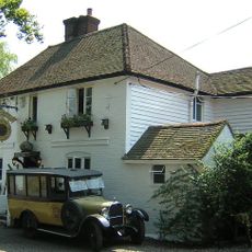
Ringlestone Inn
3.6 km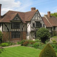
Stoneacre
4.6 km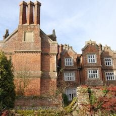
Hollingbourne Manor
183 m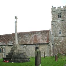
Holy Cross Church, Bearsted
4.2 km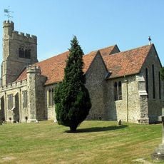
St John the Baptist's Church, Harrietsham
3.8 km
All Saints Church, Hollingbourne
19 m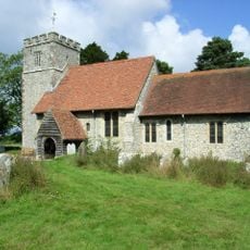
St Giles, Wormshill
4.5 km
St Nicholas's Church, Leeds
2.5 km
The Park Gate Inn
1.5 km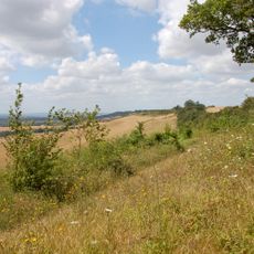
Hollingbourne Downs
1.3 km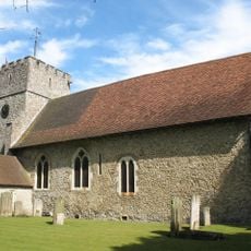
St Mary the Virgin Church, Thurnham
4.7 km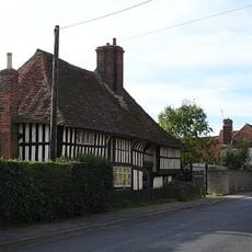
Bell Farm House, Harrietsham
3.9 km
Bredgar & Wormshill Railway
4.5 km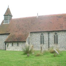
Church of St Margaret
3.2 km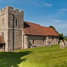
Church of St Margaret
2.6 km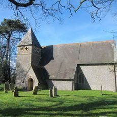
Church of St James
4.1 km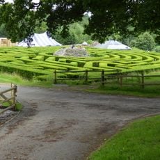
Maze and Grotto
2.3 km
The Blacksmith's Arms Public House
4 km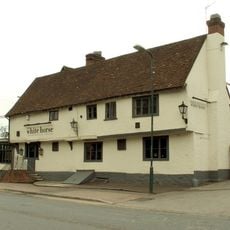
The White Horse
4.4 km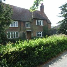
Yew Tree Farmhouse
4 km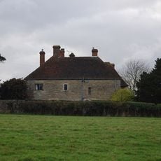
Battel Hall
2.4 km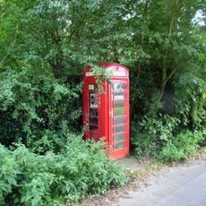
K6 Telephone Kiosk
4.4 km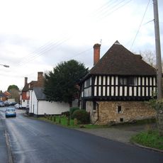
Manor House
2.8 km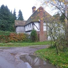
Greenway Forstal Farmhouse
1.9 km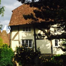
Rose Farmhouse
2.8 km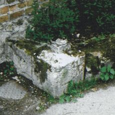
Milestone, Church Lane, by Mote House
4.3 kmRecensioni
Ha visitato questo luogo? Tocchi le stelle per valutarlo e condividere la Sua esperienza o foto con la community! Provalo ora! Puoi annullarlo in qualsiasi momento.
Scopri tesori nascosti ad ogni viaggio!
Da piccoli caffè caratteristici a panorami nascosti, fuggi dalla folla e scova i posti che fanno davvero per te. La nostra app ti semplifica tutto: ricerca vocale, filtri furbi, percorsi ottimizzati e dritte autentiche da viaggiatori di tutto il mondo. Scaricala subito per vivere l'avventura sul tuo smartphone!

Un nuovo approccio alla scoperta turistica❞
— Le Figaro
Tutti i luoghi che meritano di essere esplorati❞
— France Info
Un’escursione su misura in pochi clic❞
— 20 Minutes