
Groombridge Place Moat, Walls and Bridge including the West Gateway and Cottage on the North Bridge
Groombridge Place Moat, Walls and Bridge including the West Gateway and Cottage on the North Bridge, structures in Speldhurst, Kent, UK
Posizione: Speldhurst
Coordinate GPS: 51.11744,0.18788
Ultimo aggiornamento: 7 marzo 2025 alle 10:03
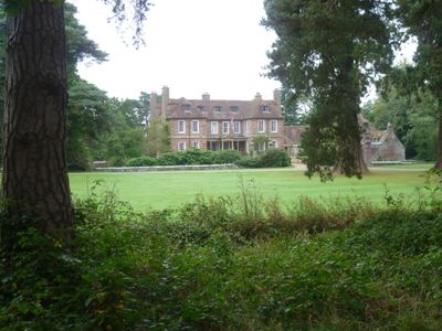
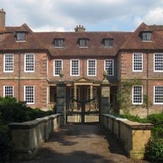
Groombridge Place
113 m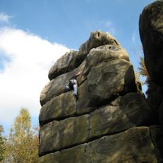
Harrison's Rocks
2.1 km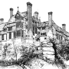
Leyswood
2.6 km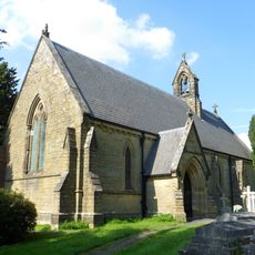
Church of St Peter
2.8 km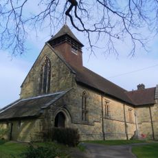
Church of St Thomas the Apostle
758 m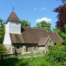
Church of St Martin of Tours
2.5 km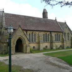
Church of All Saints
1.8 km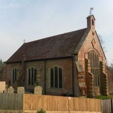
Chapel Of St John The Evangelist
173 m
High Rocks Inn
2.7 km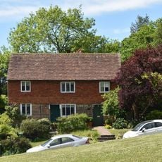
The Old Town Post Office Including Front Area Railings
224 m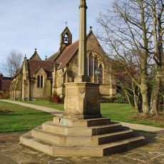
Langton Green War Memorial
1.8 km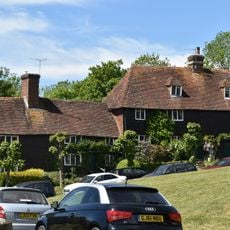
3 And 4, Bird-in-hand Street
259 m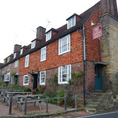
The Crown Including Service Buildings Adjoining To North
203 m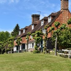
3, 4, 5 And 6, The Walks
234 m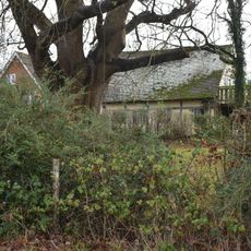
Tender Meads
2.6 km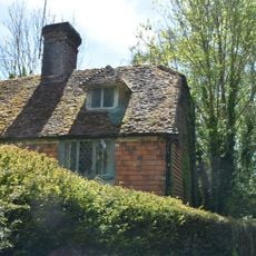
Mill House
173 m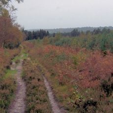
Broadwater Warren RSPB Reserve
2.2 km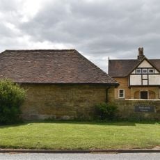
Stables Approximately 10 Metres North East Of Hollonds Farmhouse
1.8 km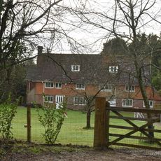
Stone Cross Farmhouse
1.7 km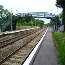
Footbridge At Ashurst Station
2.8 km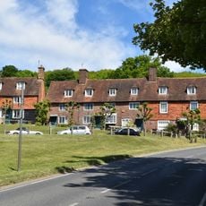
7, 8 And 9, The Walks
222 m
Langton Park Lodge
1.9 km
Hollonds Farmhouse
1.8 km
Langton House
1.9 km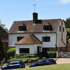
The Old Butchers
213 m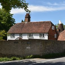
Corseley Farmhouse
879 m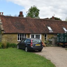
Forge Approximately 5 Metres North Of Forge House
2 km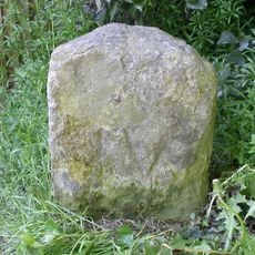
Milestone, Withyham Road; Groombridge
258 mRecensioni
Ha visitato questo luogo? Tocchi le stelle per valutarlo e condividere la Sua esperienza o foto con la community! Provalo ora! Puoi annullarlo in qualsiasi momento.
Scopri tesori nascosti ad ogni viaggio!
Da piccoli caffè caratteristici a panorami nascosti, fuggi dalla folla e scova i posti che fanno davvero per te. La nostra app ti semplifica tutto: ricerca vocale, filtri furbi, percorsi ottimizzati e dritte autentiche da viaggiatori di tutto il mondo. Scaricala subito per vivere l'avventura sul tuo smartphone!

Un nuovo approccio alla scoperta turistica❞
— Le Figaro
Tutti i luoghi che meritano di essere esplorati❞
— France Info
Un’escursione su misura in pochi clic❞
— 20 Minutes