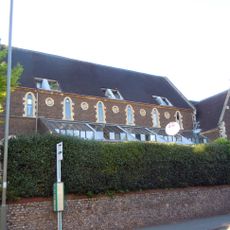
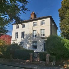
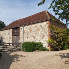
Farnham Park, Riserva naturale e parco classificato Grado II a Farnham, Inghilterra
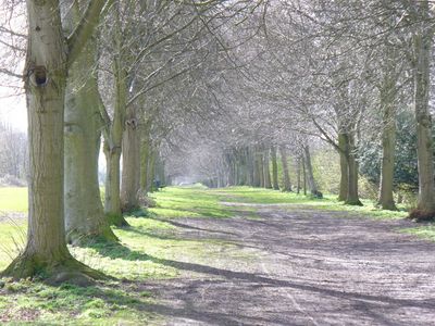
Il Parco di Farnham e una riserva di 131 ettari con prati aperti, sezioni di bosco di querce e ruscelli che scorrono attraverso diversi livelli di elevazione del paesaggio. Il terreno vario crea aree distinte adatte a diverse attivita.
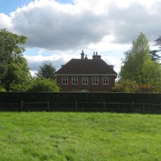
Il parco inizio come un parco dei cervi medievale istituito nel 1376 dal Vescovo William Wykeham e fu successivamente trasformato in un parco paesaggistico alla fine del 1700. Questo redesign ha plasmato i terreni che i visitatori esplorano oggi.
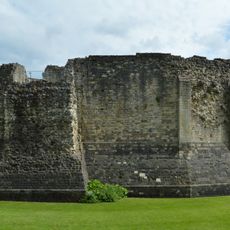
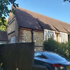
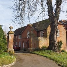
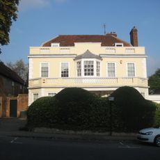
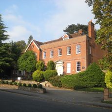
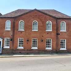
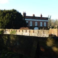
Il parco mantiene un forte legame con il Castello di Farnham, che si erge su una collina nell'angolo sud-ovest e riflette secoli di influenza ecclesiastica sulla terra. I visitatori notano questa relazione durante le loro passeggiate.
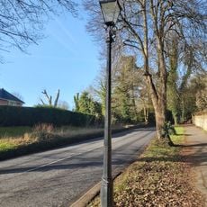
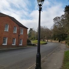
Il parco ha diversi sentieri escursionistici e strutture sportive tra cui un campo da cricket e un campo da golf, con parcheggio disponibile all'estremita meridionale di Folly Hill. I visitatori dovrebbero indossare scarpe robuste poiche il terreno e collinare e i sentieri possono diventare scivolosi quando bagnati.
Cinque elementi acquatici costellano il paesaggio, incluso lo stagno Carron, che e stato specificamente progettato per le anatre da richiamo galleggianti durante le pratiche di caccia storiche. Oggi questi stagni artificiali fungono da luoghi tranquilli dove i visitatori possono osservare gli uccelli acquatici.
La comunità dei viaggiatori curiosi
AroundUs riunisce migliaia di luoghi selezionati, consigli locali e gemme nascoste, arricchiti ogni giorno da oltre 60,000 contributori in tutto il mondo.