
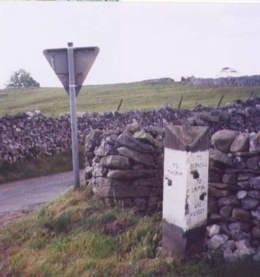
Guidestone, Kail Lane, by drystone wall, guide stone in Thorpe, Craven, UK
Posizione: Craven
Inizio: 19 secolo
Coordinate GPS: 54.05575,-1.97400
Ultimo aggiornamento: 4 marzo 2025 alle 08:27
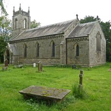
Church of St Peter
1.1 km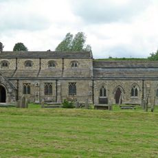
Church of St Michael and All Angels
1.7 km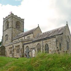
Church of St Wilfred
1.6 km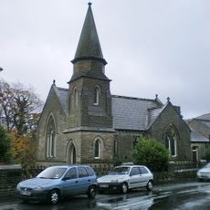
Methodist Chapel
1.7 km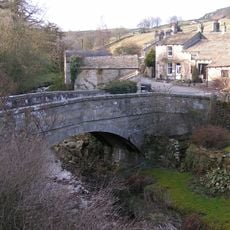
Old Bridge
1.3 km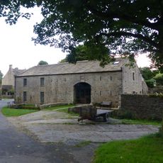
Manor House Barn and approach bridge
612 m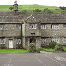
The Old Grammar School
1.6 km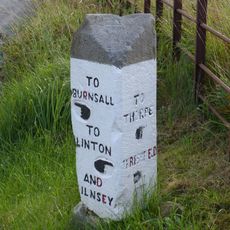
Guide stone at SE 0095 6247
907 m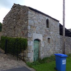
Bull house opposite Kail Farmhouse
720 m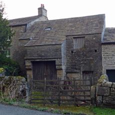
Barn and byre to east of Hardcastle House
610 m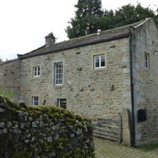
Outbuilding opposite Manor House
578 m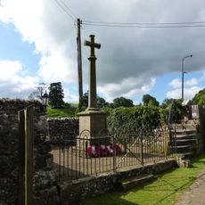
Linton-in-Craven War Memorial
1.7 km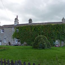
Sunnyside and Sunnybank
683 m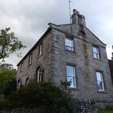
Holly Tree Farmhouse
692 m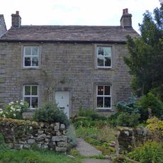
Hardcastle House
619 m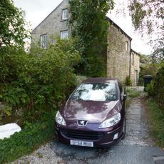
Stonycroft
639 m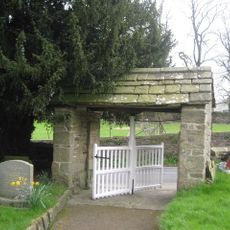
Lych Gate Approximately 30 Metres To West Of Church Of St Wilfred
1.6 km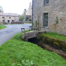
Culvert mouth, lining walls, bridge and sheepwash west of Manor House Barn
621 m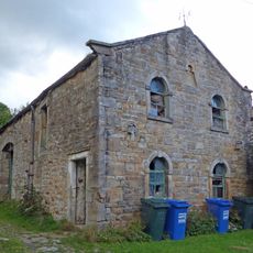
Barn approximately 10 metres south of Holly Tree Farmhouse
708 m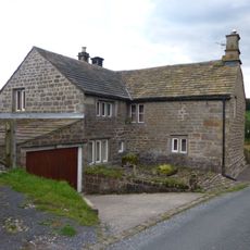
Blackburn House
602 m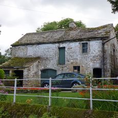
Barn and bothy range to S of Hardy Grange Farmhouse
649 m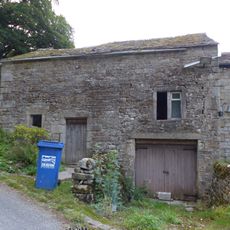
Outbuilding to west end of Hardcastle House
622 m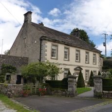
Manor house with wall and gate piers
573 m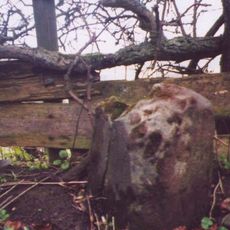
Milestone At Se 0156 6320
1 km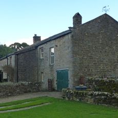
Kail Farmhouse
707 m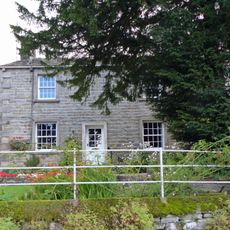
Hardy Grange Farmhouse
647 m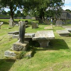
Linton churchyard cross and sundial
1.6 km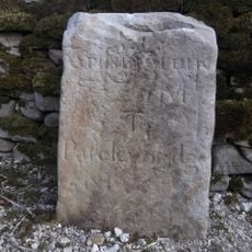
Milestone, Tinker Lane, Hebden on pre turnpike route
1.2 kmRecensioni
Ha visitato questo luogo? Tocchi le stelle per valutarlo e condividere la Sua esperienza o foto con la community! Provalo ora! Puoi annullarlo in qualsiasi momento.
Scopri tesori nascosti ad ogni viaggio!
Da piccoli caffè caratteristici a panorami nascosti, fuggi dalla folla e scova i posti che fanno davvero per te. La nostra app ti semplifica tutto: ricerca vocale, filtri furbi, percorsi ottimizzati e dritte autentiche da viaggiatori di tutto il mondo. Scaricala subito per vivere l'avventura sul tuo smartphone!

Un nuovo approccio alla scoperta turistica❞
— Le Figaro
Tutti i luoghi che meritano di essere esplorati❞
— France Info
Un’escursione su misura in pochi clic❞
— 20 Minutes