
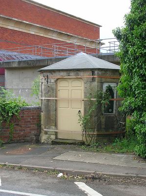
Turnpike Shelter At East End Of Mythe Bridge
Turnpike Shelter At East End Of Mythe Bridge, shelter in Tewkesbury, Tewkesbury, Gloucestershire, UK
Posizione: Tewkesbury
Coordinate GPS: 52.00194,-2.16278
Ultimo aggiornamento: 5 marzo 2025 alle 20:45
The Mythe
299 m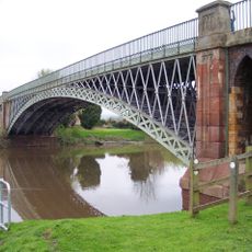
Mythe Bridge
50 m
Mythe Water Treatment Works
216 m
Mythe Railway Nature Reserve
453 m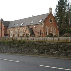
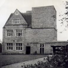
Mythe Chapel
130 m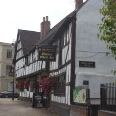
Black Bear Inn
741 m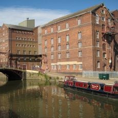
Healings Flour Mill and Warehouses
796 m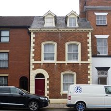
Trafalgar House
764 m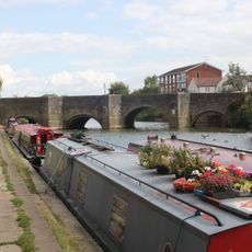
King John's Bridge
676 m
King John's Castle
386 m
Boundary Wall Adjacent To Gazebo At Rear Of Number 51 High Street
792 m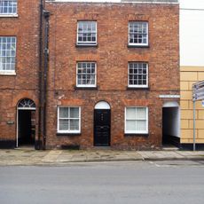
71, High Street
783 m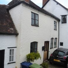
4 King John's Cottages, Mythe Road
726 m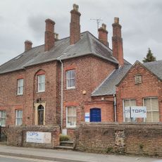
The Old Police Station And The Old Police Station Dental Practice
771 m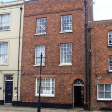
70, High Street
779 m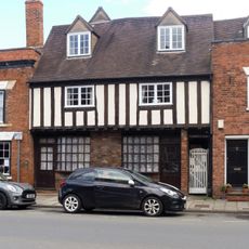
75 And 76, High Street
797 m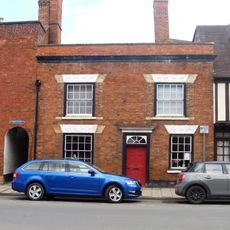
74, High Street
793 m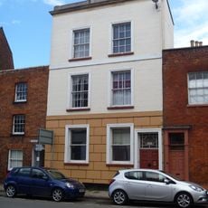
72, High Street
790 m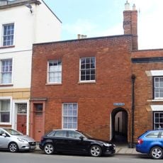
73, High Street
790 m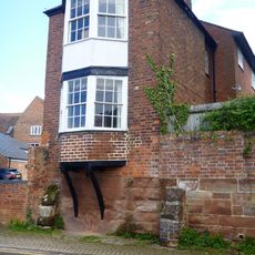
Gazebo To Garden Of Number 51 Gazebo To Garden Of Number 51 High Street
789 m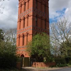
Water Tower, With Boundary Railings And Gates
683 m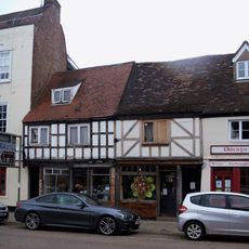
56 And 57, High Street
793 m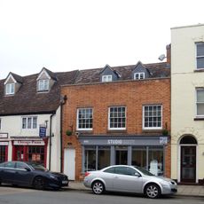
60, High Street
789 m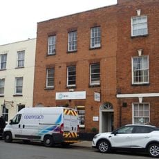
62, High Street
778 m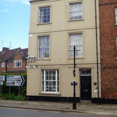
69, High Street
775 m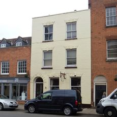
61, High Street
780 m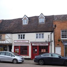
58 And 59, High Street
787 m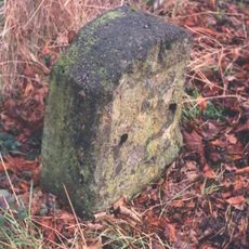
Milestone, The Mythe; opp. N edge of Garden Centre & footpath
410 mRecensioni
Ha visitato questo luogo? Tocchi le stelle per valutarlo e condividere la Sua esperienza o foto con la community! Provalo ora! Puoi annullarlo in qualsiasi momento.
Scopri tesori nascosti ad ogni viaggio!
Da piccoli caffè caratteristici a panorami nascosti, fuggi dalla folla e scova i posti che fanno davvero per te. La nostra app ti semplifica tutto: ricerca vocale, filtri furbi, percorsi ottimizzati e dritte autentiche da viaggiatori di tutto il mondo. Scaricala subito per vivere l'avventura sul tuo smartphone!

Un nuovo approccio alla scoperta turistica❞
— Le Figaro
Tutti i luoghi che meritano di essere esplorati❞
— France Info
Un’escursione su misura in pochi clic❞
— 20 Minutes