
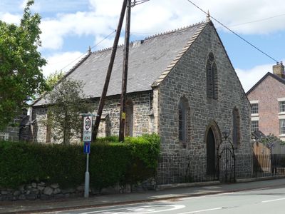
Domgay Congregational Chapel, Congregational chapel in Oswestry
Posizione: Llandysilio
Altezza sopra il mare: 69,9 m
Coordinate GPS: 52.76040,-3.08358
Ultimo aggiornamento: 7 marzo 2025 alle 18:13
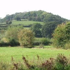
Bryn Mawr
1.9 km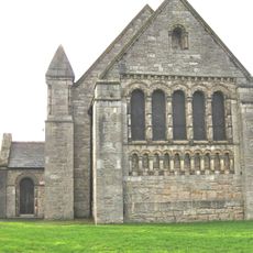
Church of St Agatha
2.2 km
Circular Churchyard & Pillar Sundial at Church of St.Tysilio,The Street (A483)
687 m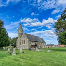
Church of St.Tysilio
704 m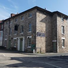
Cross Keys Inn
2.3 km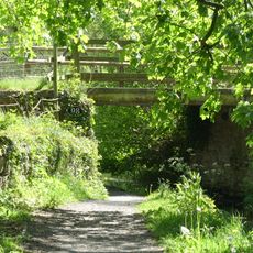
Bridge (No.98) over Montgomeryshire Canal, Pentreheylin
1.5 km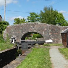
Bridge 95 over the Montgomeryshire Canal adjoining No 1 The Locks, Carreghofa Locks
2.3 km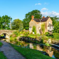
No 1 The Locks (former Wharfinger's House) including brick boundary wall to road, Carreghofa Locks
2.3 km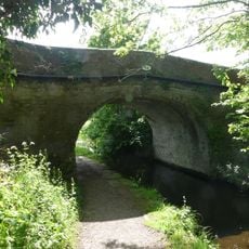
Wern Bridge (Number 94) Causeway Lane, Wern
2.3 km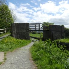
Parson's Bridge (No.99) over Montgomeryshire Canal, Parson's Lane
611 m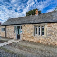
The Old School Adjoining Llandysilio Churchyard,The Street (A483)
658 m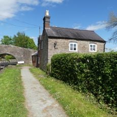
Lock-keeper's cottage adjoining lower lock chamber on Montgomeryshire Canal, Carreghofa Locks
2.2 km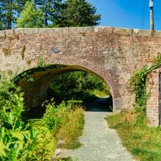
Clafton Bridge (No.100) & attached Parapets Flanking Road Approaches,Canal Road,Clafton Bridge
514 m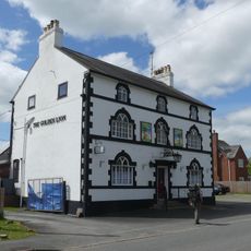
The Golden Lion, The City (B4393) Four Crosses
114 m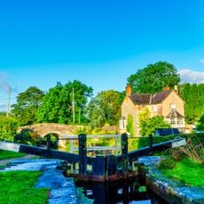
Lock Gates and Paddle Gear,Carreghofa Locks
2.3 km
Greenfield House,The City (B4393) Four Crosses
262 m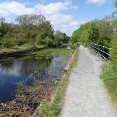
Three-arch aqueduct over Vyrnwy flood plain (southern arches) New Bridge Vyrnwy
1.9 km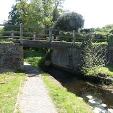
Pentreheylin Bridge (No.97) over the Montgomeryshire Canal, Pentreheylin
1.6 km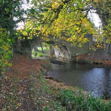
Bridge Over Montgomeryshire Canal, Welshpool Road Rhysnant
988 m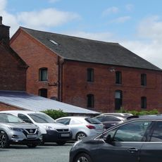
Old Milk Factory adjacent to Greenfield House, The City , Four Crosses
242 m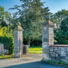
Gate Piers Approximately 30 Metres East Of Chancel Of Church Of St Agatha
2.2 km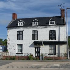
Ty-Croes
2.3 km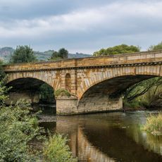
Pont Llanymynech ,llanymynech
1.8 km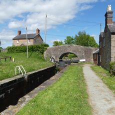
Lower Lock Chamber, Carreghofa Locks
2.3 km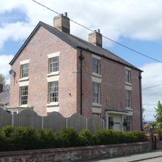
Street House, The Street (A483) Four Crosses
30 m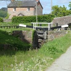
Lock gates and paddle gear, Carreghofa Locks
2.3 km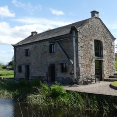
Former Salt Warehouse at Newbridge, Pentreheylin
1.7 km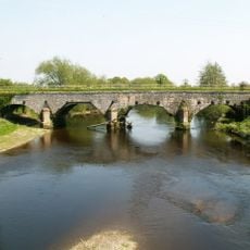
Aqueduct carrying Montgomeryshire Canal over River Vyrnwy (lies partly In Llandysilio Community Area
1.9 kmRecensioni
Ha visitato questo luogo? Tocchi le stelle per valutarlo e condividere la Sua esperienza o foto con la community! Provalo ora! Puoi annullarlo in qualsiasi momento.
Scopri tesori nascosti ad ogni viaggio!
Da piccoli caffè caratteristici a panorami nascosti, fuggi dalla folla e scova i posti che fanno davvero per te. La nostra app ti semplifica tutto: ricerca vocale, filtri furbi, percorsi ottimizzati e dritte autentiche da viaggiatori di tutto il mondo. Scaricala subito per vivere l'avventura sul tuo smartphone!

Un nuovo approccio alla scoperta turistica❞
— Le Figaro
Tutti i luoghi che meritano di essere esplorati❞
— France Info
Un’escursione su misura in pochi clic❞
— 20 Minutes