
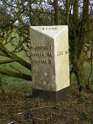
Milepost, near Spot Farm, N of Hilderstone, milepost in Stone, Stafford, UK
Posizione: Stafford
Inizio: 19 secolo
Coordinate GPS: 52.92211,-2.08295
Ultimo aggiornamento: 4 marzo 2025 alle 04:51

Oulton Abbey
3.7 km
Church of St Michael, Stone
4.6 km
Christ Church
1.4 km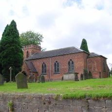
Church of St Nicholas
2.4 km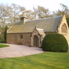
All Saint's Church
2.2 km
Stallington Hall Hospital And Attached Stables
3.1 km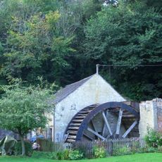
Coppice Mill
3.9 km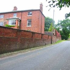
Oulton Old Hall
3.8 km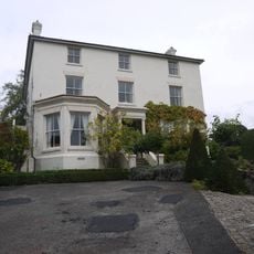
The Priory
4.7 km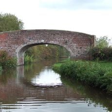
Trent And Mersey Canal Andre Mills Bridge Number 92
4.7 km
St Mary's Abbey
3.7 km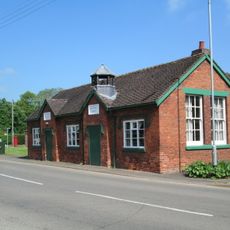
Former School
4.6 km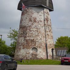
Windmill (Now Used As A Transmitter Station)
4.3 km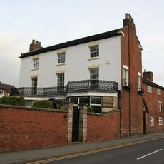
The Mansion House And Attached Wall
4.7 km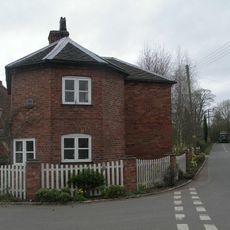
The Round House
4.6 km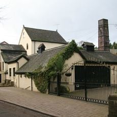
Hayes Mill
3.5 km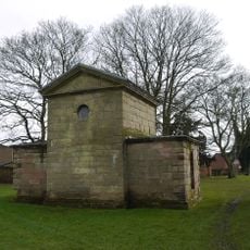
Jervis Mausoleum Approximately 5 Metres East Of Church Of St Michael
4.6 km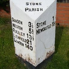
Milepost, Lichfield Road
4.5 km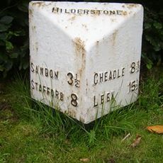
Milepost, Hilderstone village
1.5 km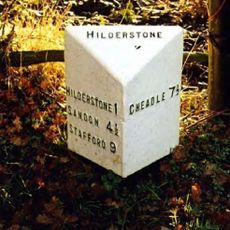
Milepost, S of Bird Grove
1.3 km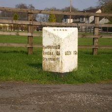
Milepost, S of Meir Heath
3.2 km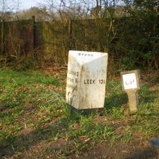
Milepost, N of Spot Acre
1.6 km
Milepost, near Moddershall
2.7 km
Milepost, near Oulton Cross jct
3.5 km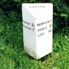
Milepost, Hilderstone Cross Roads (jct with B5027)
3 km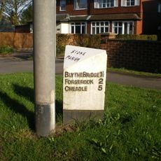
Milepost, between Meir Heath & Blythe Bridge
4.5 km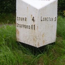
Milepost, Rough Close
3.9 km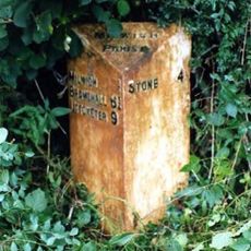
Milepost, Dayhills
3.8 kmRecensioni
Ha visitato questo luogo? Tocchi le stelle per valutarlo e condividere la Sua esperienza o foto con la community! Provalo ora! Puoi annullarlo in qualsiasi momento.
Scopri tesori nascosti ad ogni viaggio!
Da piccoli caffè caratteristici a panorami nascosti, fuggi dalla folla e scova i posti che fanno davvero per te. La nostra app ti semplifica tutto: ricerca vocale, filtri furbi, percorsi ottimizzati e dritte autentiche da viaggiatori di tutto il mondo. Scaricala subito per vivere l'avventura sul tuo smartphone!

Un nuovo approccio alla scoperta turistica❞
— Le Figaro
Tutti i luoghi che meritano di essere esplorati❞
— France Info
Un’escursione su misura in pochi clic❞
— 20 Minutes