
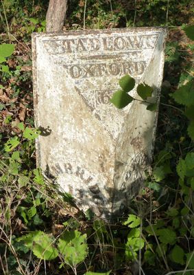
Milepost, Lower Road, E of jct with High Street, milepost in Tadlow, South Cambridgeshire, UK
Posizione: South Cambridgeshire
Inizio: 19 secolo
Coordinate GPS: 52.11187,-0.12316
Ultimo aggiornamento: 11 marzo 2025 alle 08:39
Potton Wood
4.2 km
Church of St Denis
2.9 km
Buff Wood
2.8 km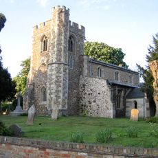
Church of St Peter, Wrestlingworth
2.7 km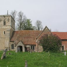
Church of All Saints
3.5 km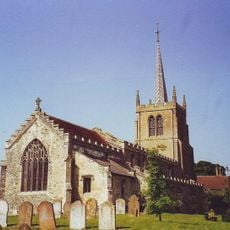
Parish Church of St Mary
3.5 km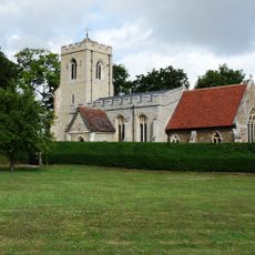
Parish Church of St Michael and All Angels, Abington Pigotts
3.5 km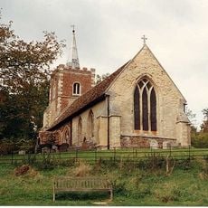
Church of St Nicholas
4.7 km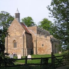
Church of All Saints
4.2 km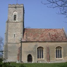
Church of St George
3.6 km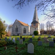
Parish Church of St Peter and St Paul
5.1 km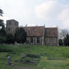
Church of St Giles
622 m
All Saints (Shingay-cum-Wendy Parish Church)
3.7 km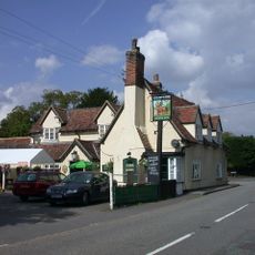
The Chequers Inn
2.9 km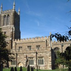
Church of St John the Baptist, Cockayne Hatley
3.6 km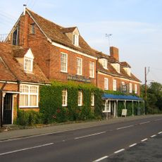
Hardwicke Arms Hotel
4.9 km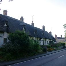
143-153 Crow End Cottages, Ermine Way
5.1 km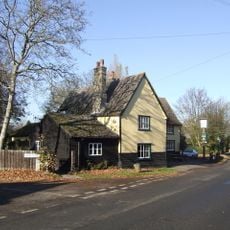
Three Tuns Public House
4 km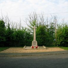
Wimpole and Arrington War Memorial
4.8 km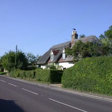
Acacia Cottage Rose Cottage
4.9 km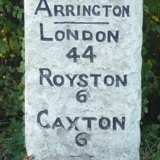
Milestone, Corner Of Ermine Way And Potton Road
4.8 km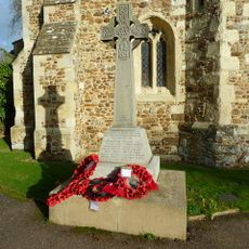
Wrestlingworth War Memorial
2.7 km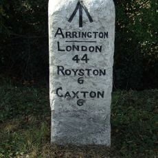
Milestone 60m north-east of Arrington Nurseries
4.8 km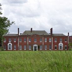
Hatley Park
3.5 km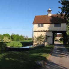
Down Hall Gatehouse
4.3 km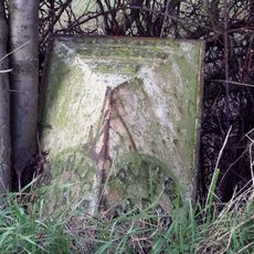
Milestone Near The Beeches And Craden Old Farm
3.2 km
Lodge To Hatley Park
3.5 km
Gatehouse Circa 65 Metres To North West Of Down Hall
4.3 kmRecensioni
Ha visitato questo luogo? Tocchi le stelle per valutarlo e condividere la Sua esperienza o foto con la community! Provalo ora! Puoi annullarlo in qualsiasi momento.
Scopri tesori nascosti ad ogni viaggio!
Da piccoli caffè caratteristici a panorami nascosti, fuggi dalla folla e scova i posti che fanno davvero per te. La nostra app ti semplifica tutto: ricerca vocale, filtri furbi, percorsi ottimizzati e dritte autentiche da viaggiatori di tutto il mondo. Scaricala subito per vivere l'avventura sul tuo smartphone!

Un nuovo approccio alla scoperta turistica❞
— Le Figaro
Tutti i luoghi che meritano di essere esplorati❞
— France Info
Un’escursione su misura in pochi clic❞
— 20 Minutes