
Punto di vista panoramico
Posizione: Plombières
Coordinate GPS: 50.73858,5.97959
Ultimo aggiornamento: 24 ottobre 2025 alle 18:19
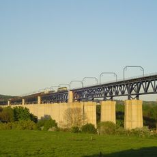
Viaduct of Moresnet
2.2 km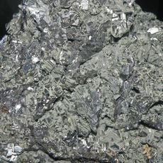
Site Minier de Plombières
1.1 km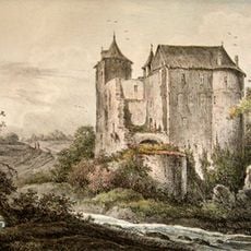
Château Schimper
1.5 km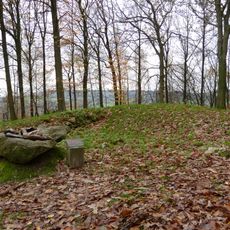
Tumuli Vijlenerbos
3 km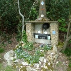
Memorial Jeu Saive
1.9 km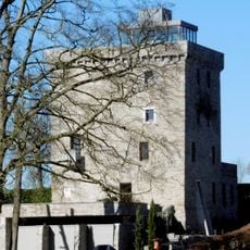
Château d'Alensberg
2.1 km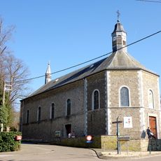
Chapelle Notre-Dame-Auxiliatrice
1.4 km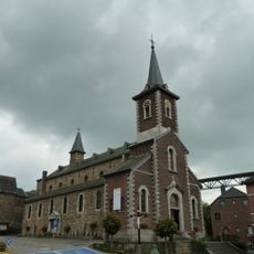
Église Saint-Rémy
2.1 km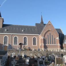
Église Saint-Hubert
1.4 km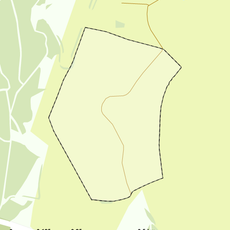
Rijksbeschermd gezicht Raren
2.7 km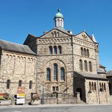
Église Notre-Dame de l'Assomption
1.3 km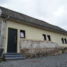
Haus Bauweg 51
2.6 km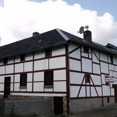
Rarenderstraat 65, Raren
2.7 km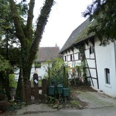
Meelenbroekerweg 3, Raren
2.4 km
Belgium-Netherlands boundary stone no. 5a
1.8 km
Rarenderstraat 71, Raren
2.5 km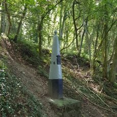
Belgium-Netherlands boundary stone no. 6
1.9 km
Belgium-Netherlands boundary stone no. 3b
2.1 km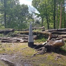
NL B Grenzstein Grenspaal N° 4
1.8 km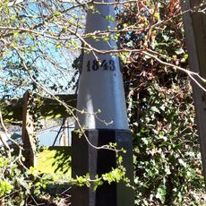
Belgium-Netherlands boundary stone no. 3
2.3 km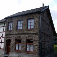
Rarenderstraat 63, Raren
2.7 km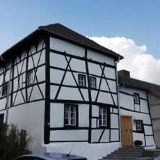
Rarenderstraat 57, Raren
2.7 km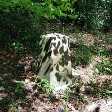
Belgium-Netherlands boundary stone no. 4a
1.7 km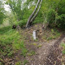
Belgium-Netherlands boundary stone no. 5b
1.8 km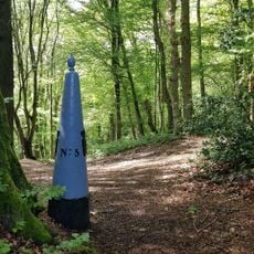
Belgium-Netherlands boundary stone no. 5
1.7 km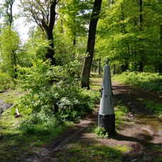
NL B Grenzstein Grenspaal N° 2
2.8 km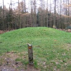
Tumulus deep in Vijlenerbos
2.2 km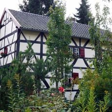
Rarenderstraat 73, Raren
2.5 kmRecensioni
Ha visitato questo luogo? Tocchi le stelle per valutarlo e condividere la Sua esperienza o foto con la community! Provalo ora! Puoi annullarlo in qualsiasi momento.
Scopri tesori nascosti ad ogni viaggio!
Da piccoli caffè caratteristici a panorami nascosti, fuggi dalla folla e scova i posti che fanno davvero per te. La nostra app ti semplifica tutto: ricerca vocale, filtri furbi, percorsi ottimizzati e dritte autentiche da viaggiatori di tutto il mondo. Scaricala subito per vivere l'avventura sul tuo smartphone!

Un nuovo approccio alla scoperta turistica❞
— Le Figaro
Tutti i luoghi che meritano di essere esplorati❞
— France Info
Un’escursione su misura in pochi clic❞
— 20 Minutes