
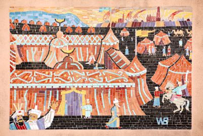
Zweite Türkenbelagerung 1683, das Zelt von Kara Mustafa
Posizione: Neubau
Inizio: 1 gennaio 1956
Creatore: Walter Behrens
Creatore: Walter Behrens
Coordinate GPS: 48.20525,16.35092
Ultimo aggiornamento: 23 ottobre 2025 alle 14:12
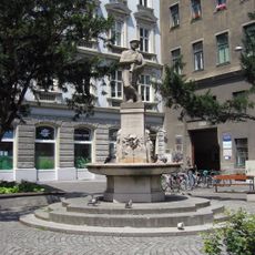
Augustinbrunnen
33 m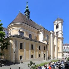
St. Ulrich's Church, Vienna
141 m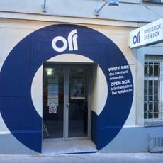
Das Off Theater
79 m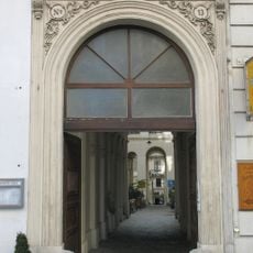
Neustiftgasse 16
173 m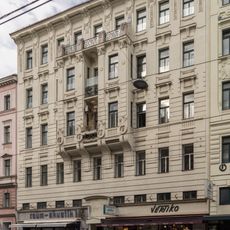
Miethaus Lerchenfelder Straße 30
147 m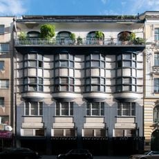
Lerchenfelder Straße 35
110 m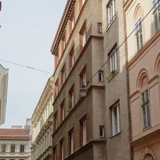
Residential building "Hörandner"
168 m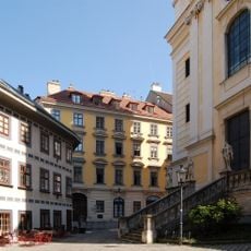
St.-Ulrichs-Platz 4
156 m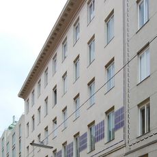
Döblergasse 4
101 m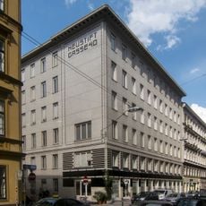
Neustiftgasse 40
85 m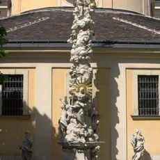
Pestsäule Burggasse
157 m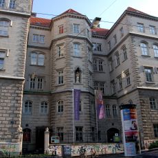
Kloster und Schule Notre Dame de Sion, Neubau
162 m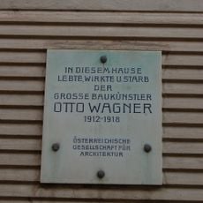
Gedenktafel Otto Wagner
112 m
Neustiftgasse 25
149 m
St.-Ulrichs-Platz 2
168 m
Gedenktafel Wohnhaus Karl Farkas
167 m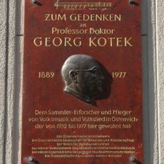
Gedenktafel für Georg Kotek
56 m
St.-Ulrichs-Platz 5
133 m
Neustiftgasse 27
135 m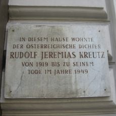
Gedenktafel Rudolf Jeremias Kreutz
159 m
Zeismannsbrunngasse 1
101 m
Neubaugasse 71
163 m
St.-Ulrichs-Platz 3
163 m
Neustiftgasse 30, Vienna
67 m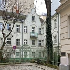
Miethaus, Zum Grünen Tor, Roter Hof
173 m
Gemeindebau Lerchenfelderstraße 33
106 m
Gemeindebau Neustiftgasse 43
8 m
Das Off Theater
78 mRecensioni
Ha visitato questo luogo? Tocchi le stelle per valutarlo e condividere la Sua esperienza o foto con la community! Provalo ora! Puoi annullarlo in qualsiasi momento.
Scopri tesori nascosti ad ogni viaggio!
Da piccoli caffè caratteristici a panorami nascosti, fuggi dalla folla e scova i posti che fanno davvero per te. La nostra app ti semplifica tutto: ricerca vocale, filtri furbi, percorsi ottimizzati e dritte autentiche da viaggiatori di tutto il mondo. Scaricala subito per vivere l'avventura sul tuo smartphone!

Un nuovo approccio alla scoperta turistica❞
— Le Figaro
Tutti i luoghi che meritano di essere esplorati❞
— France Info
Un’escursione su misura in pochi clic❞
— 20 Minutes