Ring
Posizione: Ashford
Coordinate GPS: 51.22136,0.90905
Ultimo aggiornamento: 30 ottobre 2025 alle 13:41
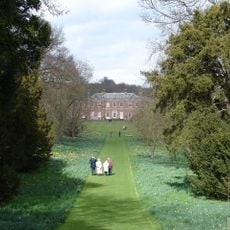
Godmersham Park
2.8 km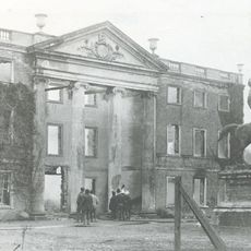
Olantigh
3.7 km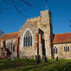
All Saints’ Church, Boughton Aluph
2.8 km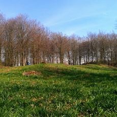
Jacket's Field Long Barrow
1.3 km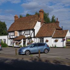
George Inn
1 km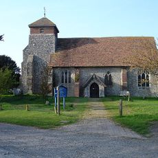
Church of St Peter
1.5 km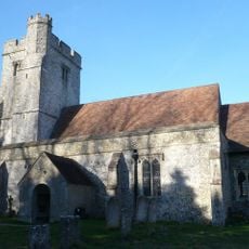
Church of St Cosmas and St Damian
2.7 km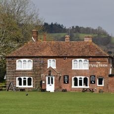
Flying Horse Inn
3.7 km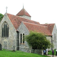
Church of St Lawrence
3 km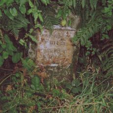
Milestone
2 km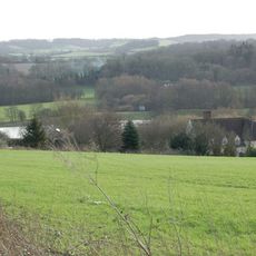
Hurst Farmhouse
3.5 km
Bowl barrow in King's Wood, Wye
829 m
Stables 15 Yards North Of The Flying Horse Inn
3.7 km
Great Bower Farmhouse
2 km
Milestone, Canterbury Road, opp. Church Road
3.4 km
Milestone, Canterbury Road, N of Boughton Corner
3 km
Milestone, Canterbury Road, Bilting, by The Parish Farmhouse
2.7 km
B52
1 km
Score for a Hole in The Ground
192 m
Walkway
503 m
Play Sculpture and Picnic Furniture
1.2 km
Coppice Cloud Chamber
84 m
The Last Eleven Years
578 m
Untitled Artwork
289 m
The Miracle of The Legs
183 m
Super Kingdom
400 m
Via Lucem Continues
543 m
Untitled Artwork
1.2 kmRecensioni
Ha visitato questo luogo? Tocchi le stelle per valutarlo e condividere la Sua esperienza o foto con la community! Provalo ora! Puoi annullarlo in qualsiasi momento.
Scopri tesori nascosti ad ogni viaggio!
Da piccoli caffè caratteristici a panorami nascosti, fuggi dalla folla e scova i posti che fanno davvero per te. La nostra app ti semplifica tutto: ricerca vocale, filtri furbi, percorsi ottimizzati e dritte autentiche da viaggiatori di tutto il mondo. Scaricala subito per vivere l'avventura sul tuo smartphone!

Un nuovo approccio alla scoperta turistica❞
— Le Figaro
Tutti i luoghi che meritano di essere esplorati❞
— France Info
Un’escursione su misura in pochi clic❞
— 20 Minutes