Wind, Wave and Sail
Posizione: London Borough of Bexley
Coordinate GPS: 51.47982,0.18230
Ultimo aggiornamento: 4 novembre 2025 alle 18:19
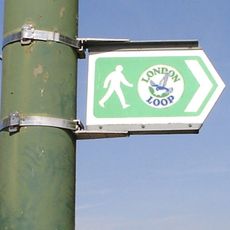
London Outer Orbital Path
476 m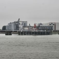
Tilda
2.4 km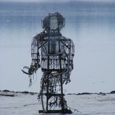
The Diver
2 km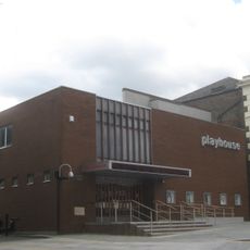
Erith Playhouse
158 m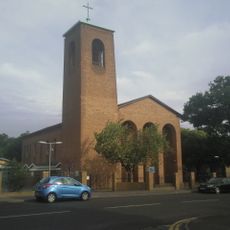
Our Lady of the Angels Church, Erith
1.4 km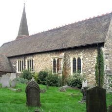
Parish Church of St John the Baptist
1.2 km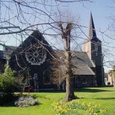
Parish Church of All Saints
2.4 km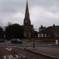
Christ Church
393 m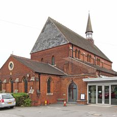
St Paul's
1.7 km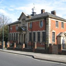
Erith Old Library
356 m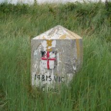
Coal Duty Boundary Marker (On Foreshore, At Mouth Of River Darenth, West Bank)
2.4 km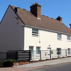
28 And 30, Erith High Street
199 m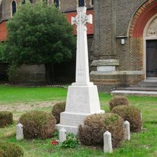
Erith (Christ Church) War Memorial
409 m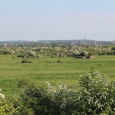
World War II Heavy Anti-Aircraft (Haa) Battery
1.7 km
Crayford Manor House
2.5 km
Large Barn At Howbury Farm
1.6 km
First World War Memorial at St John the Baptist Church, Erith
1.2 km
The X-Ray Department, Formerly The Underground Hospital, Erith And District Hospital
1.2 km
Bexley College (Former Erith Technical Institute) Including Attached Walls Railings And Gatepiers
1.9 km
Howbury moated site
1.7 km
Tivoli Cinema
916 m
Erith Museum
354 m
Vue Dagenham
582 m
Barnehurst Golf Course
2.3 km
Earth Core Columns
315 m
Opera d'arte, scultura
354 m
Opera d'arte, piastrella
491 m
Punto di vista panoramico
1.6 kmRecensioni
Ha visitato questo luogo? Tocchi le stelle per valutarlo e condividere la Sua esperienza o foto con la community! Provalo ora! Puoi annullarlo in qualsiasi momento.
Scopri tesori nascosti ad ogni viaggio!
Da piccoli caffè caratteristici a panorami nascosti, fuggi dalla folla e scova i posti che fanno davvero per te. La nostra app ti semplifica tutto: ricerca vocale, filtri furbi, percorsi ottimizzati e dritte autentiche da viaggiatori di tutto il mondo. Scaricala subito per vivere l'avventura sul tuo smartphone!

Un nuovo approccio alla scoperta turistica❞
— Le Figaro
Tutti i luoghi che meritano di essere esplorati❞
— France Info
Un’escursione su misura in pochi clic❞
— 20 Minutes