
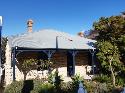
Former Police Station, Heritage listed building in East Fremantle, Western Australia
Posizione: Town of East Fremantle
Indirizzo: 133 Canning Hwy, East Fremantle
Coordinate GPS: -32.04132,115.76263
Ultimo aggiornamento: 4 marzo 2025 alle 15:18
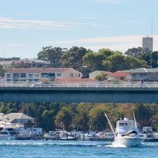
Stirling Bridge
381 m
Army Museum of Western Australia
888 m
Fremantle Railway Bridge
836 m
Fremantle Traffic Bridge
764 m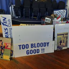
East Fremantle Football Club Hall of Fame
768 m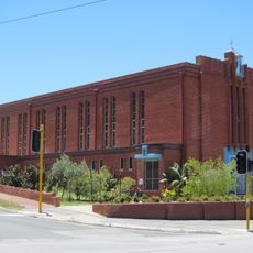
Church of the Immaculate Conception, East Fremantle
193 m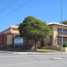
Christian Science Church, Fremantle
466 m
Richmond Raceway Entry Gates and Turnstile
653 m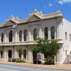
East Fremantle Town Hall
44 m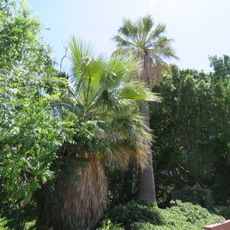
Palm Trees
686 m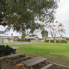
East Fremantle Primary School
816 m
Gun House
674 m
Fremantle Signal Station
746 m
Knocknagow
417 m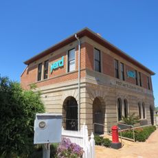
East Fremantle Post Office
22 m
Royal George Hotel
265 m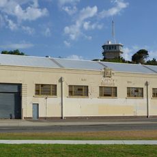
Navy Warehouse
716 m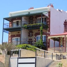
Glanville's Buildings
313 m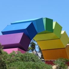
Rainbow
556 m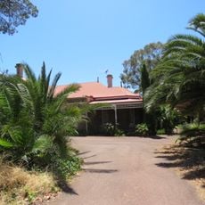
Woodlawn
695 m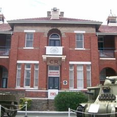
Artillery Barracks & Fremantle Harbour Signal Station
813 m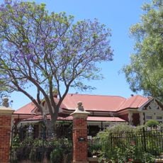
Aldgate
480 m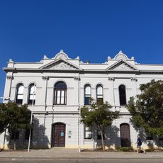
Public Buildings, East Fremantle
23 m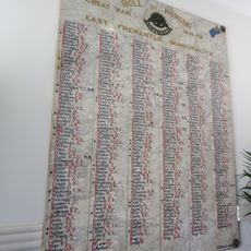
East Fremantle Honour Roll, Council Offices
39 m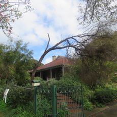
Rifle House
702 m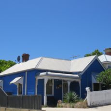
House, 26 King Street
160 m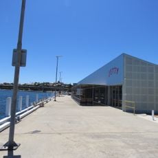
East Street Jetty Landing
546 m
Dovenby House
41 mRecensioni
Ha visitato questo luogo? Tocchi le stelle per valutarlo e condividere la Sua esperienza o foto con la community! Provalo ora! Puoi annullarlo in qualsiasi momento.
Scopri tesori nascosti ad ogni viaggio!
Da piccoli caffè caratteristici a panorami nascosti, fuggi dalla folla e scova i posti che fanno davvero per te. La nostra app ti semplifica tutto: ricerca vocale, filtri furbi, percorsi ottimizzati e dritte autentiche da viaggiatori di tutto il mondo. Scaricala subito per vivere l'avventura sul tuo smartphone!

Un nuovo approccio alla scoperta turistica❞
— Le Figaro
Tutti i luoghi che meritano di essere esplorati❞
— France Info
Un’escursione su misura in pochi clic❞
— 20 Minutes