
Lower Hutt Civic Centre Historic Area, historic area in Lower Hutt, New Zealand
Posizione: Lower Hutt City
Indirizzo: Woburn Road, Queens Drive, Laings Road and Myrtle Street, Lower Hutt
Coordinate GPS: -41.21242,174.90032
Ultimo aggiornamento: 15 maggio 2025 alle 07:31

Ministry of Māori Development
578 m
Vogel House
163 m
Wainuiomata Tunnel
4.3 km
Massey Memorial
10.2 km
Fort Ballance
10.7 km
Dowse Art Museum
351 m
Belmont Regional Park
3.3 km
Silver Stream Railway
10.5 km
Te Rauparaha Arena
10.3 km
Gear Homestead
10.6 km
Petone Settlers Museum
2.5 km
East Harbour Regional Park
8.7 km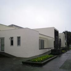
Lower Hutt War Memorial Library
62 m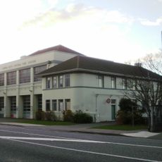
Lower Hutt Central Fire Station
1.3 km
The Glebe
2.2 km
Daisy Hill Farm House
8.9 km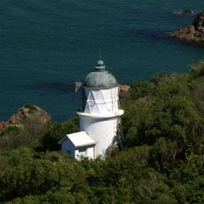
Matiu / Somes Island Lighthouse
6.1 km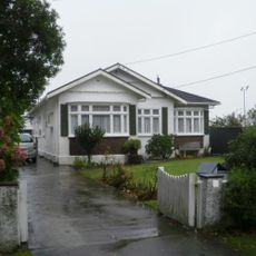
Nash House
362 m
Whitby Library
10.5 km
Pātaka Art + Museum
10.3 km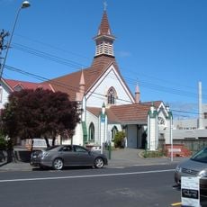
St David's Church
2.2 km
Wainuiomata Historical Museum
8.3 km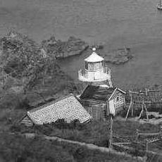
Somes Island Lighthouse
6.1 km
Gear Island Water Treatment Plant
2.2 km
Jackson Street Historic Area
2.4 km
City Centre Library, Porirua
10.4 km
House at 2 Patrick Street, Petone
2.3 km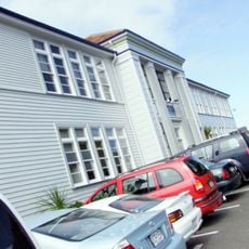
Petone Memorial Technical College
1.9 kmRecensioni
Ha visitato questo luogo? Tocchi le stelle per valutarlo e condividere la Sua esperienza o foto con la community! Provalo ora! Puoi annullarlo in qualsiasi momento.
Scopri tesori nascosti ad ogni viaggio!
Da piccoli caffè caratteristici a panorami nascosti, fuggi dalla folla e scova i posti che fanno davvero per te. La nostra app ti semplifica tutto: ricerca vocale, filtri furbi, percorsi ottimizzati e dritte autentiche da viaggiatori di tutto il mondo. Scaricala subito per vivere l'avventura sul tuo smartphone!

Un nuovo approccio alla scoperta turistica❞
— Le Figaro
Tutti i luoghi che meritano di essere esplorati❞
— France Info
Un’escursione su misura in pochi clic❞
— 20 Minutes