
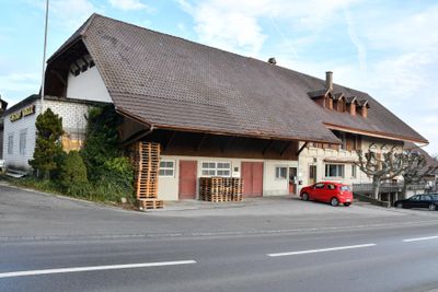
Former inn "Kreuz", residential building in Finsterhennen in the canton of Bern, Switzerland
Posizione: Finsterhennen
Posizione: Bern
Inizio: 1901
Indirizzo: Hauptstrasse 13, 2577 Finsterhennen 2577
Coordinate GPS: 47.02648,7.17837
Ultimo aggiornamento: 20 settembre 2025 alle 10:12
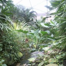
Papiliorama
4.5 km
Bahnmuseum Kerzers
5.6 km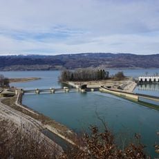
Wasserkraftwerk Hagneck
3.7 km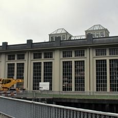
Kallnach power station
3.8 km
Fenis / Hasenburg, early medieval-medieval castle ruin
4.9 km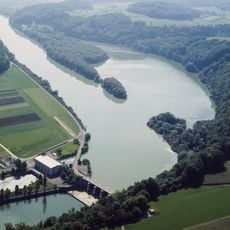
Niederriedsee
5.7 km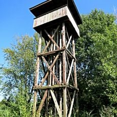
Heidenwegturm
5.4 km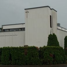
Katholische Kirche Täuffelen
4.8 km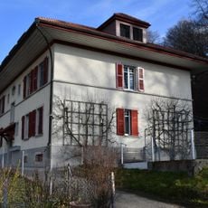
Residential building for power plant employees (1914)
3.7 km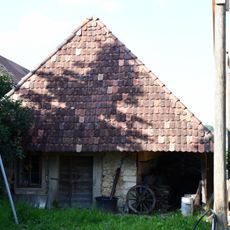
Ovenhouse (19th c.)
3.5 km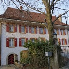
Rectory to the Reformed Church
5.2 km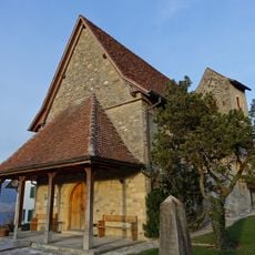
Reformed Church with Rectory
5.2 km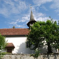
Reformed church
4.5 km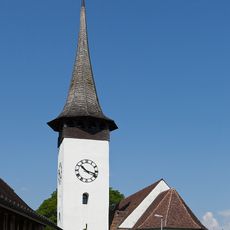
Reformed church
5.8 km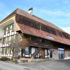
Former farmhouse (2nd quarter 19th c.)
355 m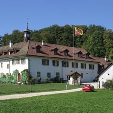
Priory St. Peter's Island
5.5 km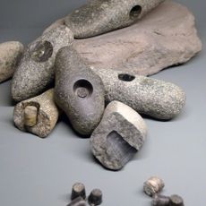
Strandboden, Bestandteil des UNESCO Welterbeobjekts "Pfahlbauten"
5.2 km
Iron age tumulus group
3.3 km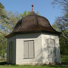
So called Rousseau-Pavillon
5.7 km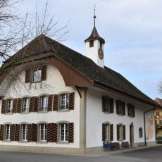
School house (1830)
2.5 km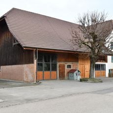
Wohnstock (17th/18th c.)
2.4 km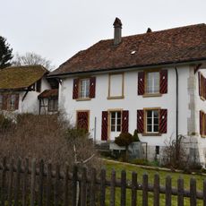
Rectory and parish building (16th c.)
4.6 km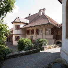
Rectory
5.2 km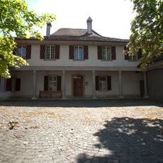
Rectory
969 m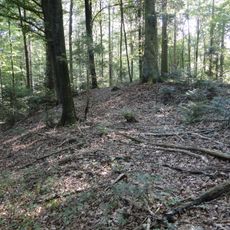
Hallstatt period burial mound group
3.1 km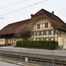
Farmhouse (around 1880)
3.3 km
Ländti, neolithische-bronzezeitliche Seeufersiedlungen
5.5 km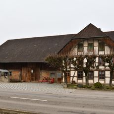
Farmhouse (1894/95)
3.6 kmRecensioni
Ha visitato questo luogo? Tocchi le stelle per valutarlo e condividere la Sua esperienza o foto con la community! Provalo ora! Puoi annullarlo in qualsiasi momento.
Scopri tesori nascosti ad ogni viaggio!
Da piccoli caffè caratteristici a panorami nascosti, fuggi dalla folla e scova i posti che fanno davvero per te. La nostra app ti semplifica tutto: ricerca vocale, filtri furbi, percorsi ottimizzati e dritte autentiche da viaggiatori di tutto il mondo. Scaricala subito per vivere l'avventura sul tuo smartphone!

Un nuovo approccio alla scoperta turistica❞
— Le Figaro
Tutti i luoghi che meritano di essere esplorati❞
— France Info
Un’escursione su misura in pochi clic❞
— 20 Minutes