
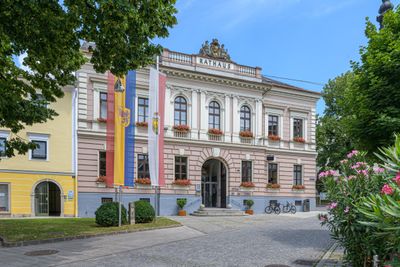
Rathaus/Gemeindeamt, building in Kirchdorf an der Krems, Austria
Posizione: Kirchdorf an der Krems
Indirizzo: Rathausplatz 1
Coordinate GPS: 47.90604,14.12274
Ultimo aggiornamento: 9 marzo 2025 alle 12:17

Schloss Neupernstein
711 m
Grillenparz
1.8 km
Evangelische Pfarrkirche Kirchdorf an der Krems
543 m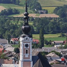
Stadtpfarrkirche Kirchdorf an der Krems
52 m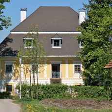
Herrenhaus
1.8 km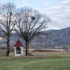
Nischen- /Kapellenbildstock
2.6 km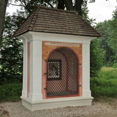
Mayr-Kapelle Kirchdorf an der Krems
868 m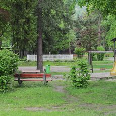
Stadtpark Kirchdorf an der Krems
444 m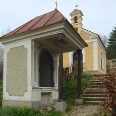
Calvary Kirchdorf
723 m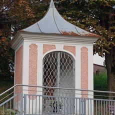
Wegkapelle
697 m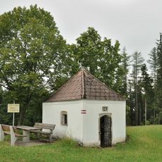
Hofkapelle Schmiking
2 km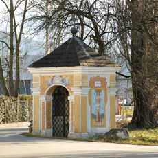
Wegkapelle
568 m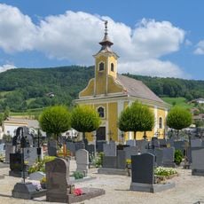
Cemetery in Kirchdorf an der Krems
228 m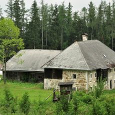
Schmikingergut Oberschlierbach
2 km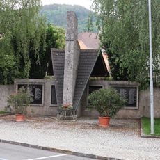
Kriegerdenkmal
55 m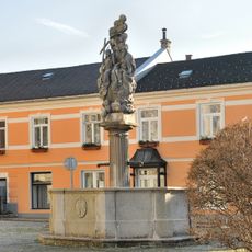
Dreifaltigkeitsbrunnen, Kirchdorf an der Krems
60 m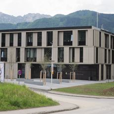
Bezirkshauptmannschaft Kirchdorf an der Krems
355 m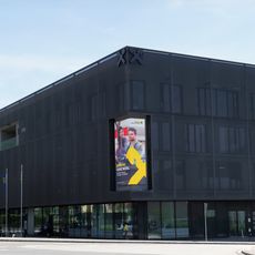
Forum Region Kirchdorf
242 m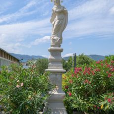
Mariensäule
175 m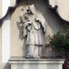
Figurenbildstock hl. Johannes Nepomuk
46 m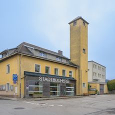
Stadtbücherei Kirchdorf an der Krems
154 m
Schmallnauerhaus
56 m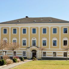
Pfarrhof
107 m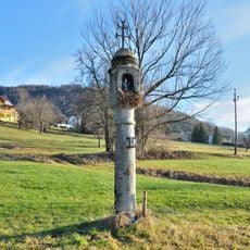
Bildstock, sog. Pestsäule
1.2 km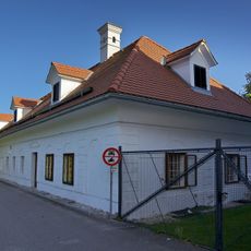
Feyreggerhaus
2.7 km
Wohn- und Geschäftshaus, ehem. Bezirksgericht
156 m
Brauerei mit Herrenhaus, Wirtschaftstrakten und Gartenareal
790 m
Moarhof
145 mRecensioni
Ha visitato questo luogo? Tocchi le stelle per valutarlo e condividere la Sua esperienza o foto con la community! Provalo ora! Puoi annullarlo in qualsiasi momento.
Scopri tesori nascosti ad ogni viaggio!
Da piccoli caffè caratteristici a panorami nascosti, fuggi dalla folla e scova i posti che fanno davvero per te. La nostra app ti semplifica tutto: ricerca vocale, filtri furbi, percorsi ottimizzati e dritte autentiche da viaggiatori di tutto il mondo. Scaricala subito per vivere l'avventura sul tuo smartphone!

Un nuovo approccio alla scoperta turistica❞
— Le Figaro
Tutti i luoghi che meritano di essere esplorati❞
— France Info
Un’escursione su misura in pochi clic❞
— 20 Minutes