
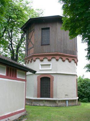
Water tower at Tattendorf railway station, water tower at railway station in Austria
Posizione: Tattendorf
Parte di: Tattendorf railway station
Indirizzo: Rechte Bahnzeile
Coordinate GPS: 47.95573,16.30592
Ultimo aggiornamento: 23 marzo 2025 alle 04:57
Spinnerei Teesdorf
1.5 km
Pfarrkirche Tattendorf
723 m
Schloss Oberwaltersdorf
2.6 km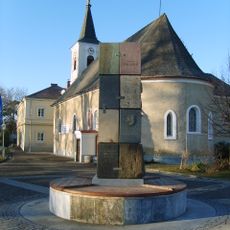
Pfarrkirche hl. Jakobus der Ältere, Oberwaltersdorf
2.7 km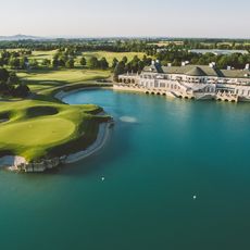
Golfclub Fontana
2.5 km
Synagoge (Oberwaltersdorf)
2.7 km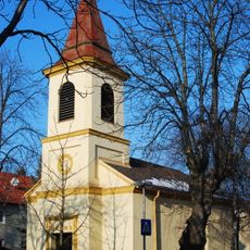
Evangelische Kirche Teesdorf
1.9 km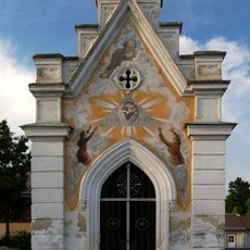
Friedhof Oberwaltersdorf
2.6 km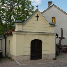
Johannes Nepomuk-Kapelle
2.8 km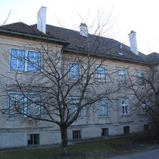
Arbeiter-/Angestelltenwohnhaus
3 km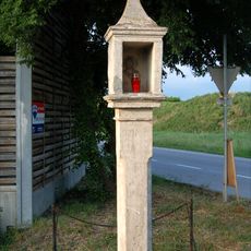
Bildstock Weißes Kreuz
3 km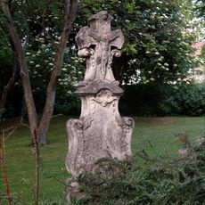
Rokokograbstein
2.7 km
Arbeiter-/Angestelltenwohnhaus
3.1 km
Arbeiter-/Angestelltenwohnhaus
3.1 km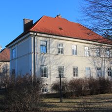
Arbeiter-/Angestelltenwohnhaus
3 km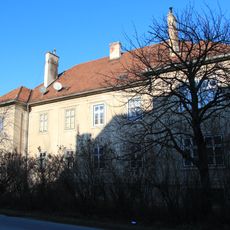
Arbeiter-/Angestelltenwohnhaus
3.1 km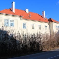
Arbeiter-/Angestelltenwohnhaus
3 km
Pfarrhof
673 m
Arbeiter-/Angestelltenwohnhaus
3 km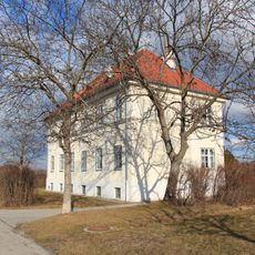
Arbeiter-/Angestelltenwohnhaus
3 km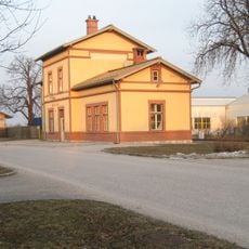
Ober Waltersdorf railway station
2.7 km
Arbeiter-/Angestelltenwohnhaus
3.1 km
Arbeiter-/Angestelltenwohnhaus
3 km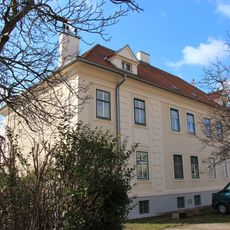
Arbeiter-/Angestelltenwohnhaus
3 km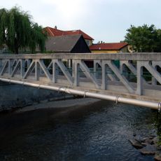
Visintini bridge, Oberwaltersdorf
2.9 km
Arbeiter-/Angestelltenwohnhaus
3 km
Arbeiter-/Angestelltenwohnhaus
3 km
Pest-/Dreifaltigkeitssäule
719 mRecensioni
Ha visitato questo luogo? Tocchi le stelle per valutarlo e condividere la Sua esperienza o foto con la community! Provalo ora! Puoi annullarlo in qualsiasi momento.
Scopri tesori nascosti ad ogni viaggio!
Da piccoli caffè caratteristici a panorami nascosti, fuggi dalla folla e scova i posti che fanno davvero per te. La nostra app ti semplifica tutto: ricerca vocale, filtri furbi, percorsi ottimizzati e dritte autentiche da viaggiatori di tutto il mondo. Scaricala subito per vivere l'avventura sul tuo smartphone!

Un nuovo approccio alla scoperta turistica❞
— Le Figaro
Tutti i luoghi che meritano di essere esplorati❞
— France Info
Un’escursione su misura in pochi clic❞
— 20 Minutes