
Group of granite boulders near Pretrobruck, Rock formation in Lower Austria
Posizione: Arbesbach
Realizzato in: granite
Coordinate GPS: 48.48974,15.02056
Ultimo aggiornamento: 9 marzo 2025 alle 19:07

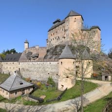
Rappottenstein Castle
5.5 km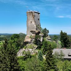
Arbesbach Castle
4.4 km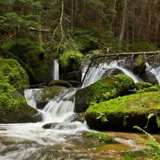
Lohnbachfall
1.3 km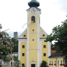
Pfarrkirche Arbesbach
4.9 km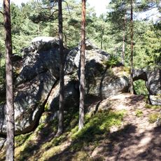
Steinerner Torbogen
2.6 km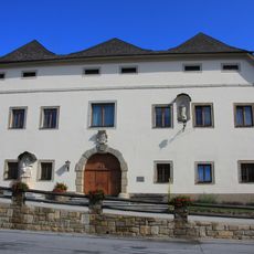
Manor house in Arbesbach
4.9 km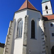
Church of the Presentation of Jesus at the Temple
4.3 km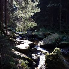
Höllfall
2.5 km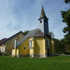
Filialkirche Pehendorf
2 km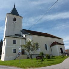
Pfarrkirche Rappottenstein
5.5 km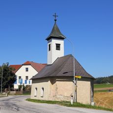
Ortskapelle Haselbach
3.8 km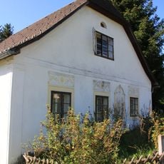
Hammerschmiede Kamp
4.3 km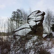
Granite rock "Vogelstein"
652 m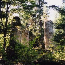
Gallow, Arbesbach
5.5 km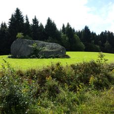
Big granite boulder near Altmelon
5.2 km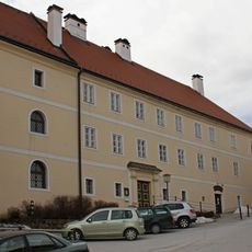
Volksschule/Pfarrhof, ehem. Kloster
4.3 km
Pranger
4.8 km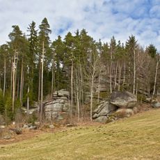
Rock formation at the state road 7315
3.9 km
Pfarrhof
4.8 km
Steinernes Bründl ("Stone well")
1.7 km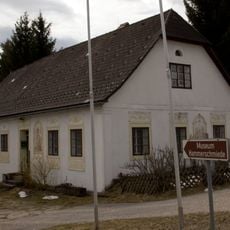
Wohnhaus
4.3 km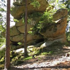
Gletschermühle ("Glacier mill")
3.2 km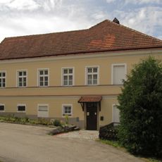
Pfarrhof
5.5 km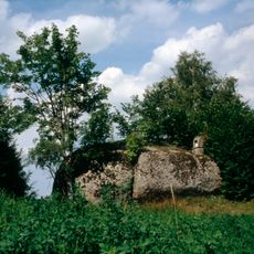
Niglstoan
3.8 km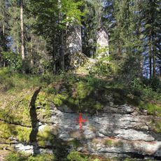
Rock formations on the Galgenberg
5.5 km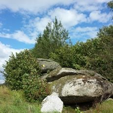
Balanced rock near Altmelon
4.8 km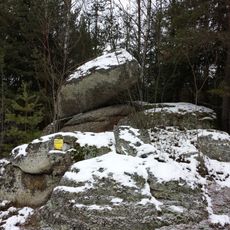
Balancing rock near Pretrobruck
541 m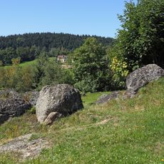
Boulder fields south of Federal road 124
1.6 kmRecensioni
Ha visitato questo luogo? Tocchi le stelle per valutarlo e condividere la Sua esperienza o foto con la community! Provalo ora! Puoi annullarlo in qualsiasi momento.
Scopri tesori nascosti ad ogni viaggio!
Da piccoli caffè caratteristici a panorami nascosti, fuggi dalla folla e scova i posti che fanno davvero per te. La nostra app ti semplifica tutto: ricerca vocale, filtri furbi, percorsi ottimizzati e dritte autentiche da viaggiatori di tutto il mondo. Scaricala subito per vivere l'avventura sul tuo smartphone!

Un nuovo approccio alla scoperta turistica❞
— Le Figaro
Tutti i luoghi che meritano di essere esplorati❞
— France Info
Un’escursione su misura in pochi clic❞
— 20 Minutes