
Hoogbos, forest in Belgium and the Netherlands
Posizione: Voeren
Posizione: Eijsden-Margraten
Parte di: Voerstreek, Noorbeemden & Hoogbos
Coordinate GPS: 50.77479,5.77586
Ultimo aggiornamento: 27 maggio 2025 alle 18:55
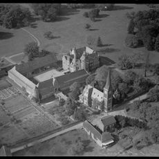
Castle of Mheer
1.2 km
Horstergrub
299 m
Huuskesboom
1 km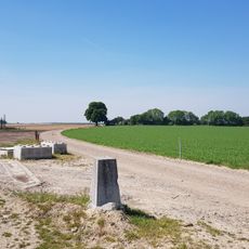
Belgium-Netherlands boundary stone no. 26a
955 m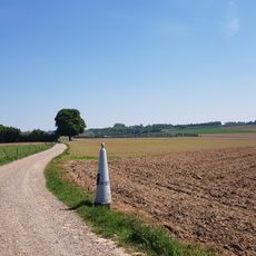
Belgium-Netherlands boundary stone no. 27
1.1 km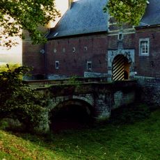
Castle of Mheer: two access bridges
1.2 km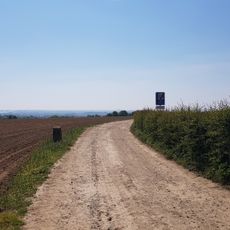
Belgium-Netherlands boundary stone no. 27b
1.3 km
Belgium-Netherlands boundary stone no. 27a
1.2 km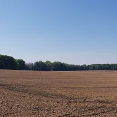
Belgium-Netherlands boundary stone no. 25a
542 m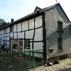
Steegstraat 19, Mheer
1.1 km
Belgium-Netherlands boundary stone no. 25b
832 m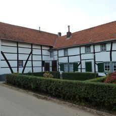
Rondelenstraat 14, Mheer
1.3 km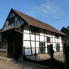
Steegstraat 23, Mheer
1 km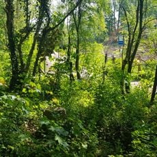
Belgium-Netherlands boundary stone no. 24a
285 m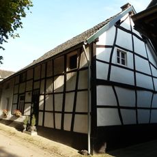
Steegstraat 21, Mheer
1 km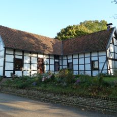
Libeek 24, Sint Geertruid
1.3 km
Castle of Mheer: garden and park
925 m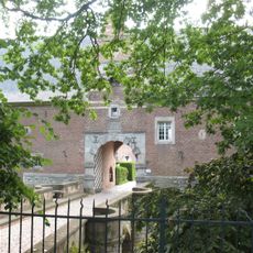
Castle of Mheer: two iron fences
707 m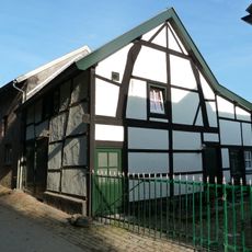
Steegstraat 17, Mheer
1.1 km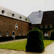
Castle of Mheer: farm building and forecourt
1.2 km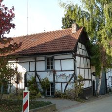
Stallestraat 14, Mheer
1.3 km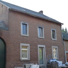
Dorpsstraat 24, Mheer
1.2 km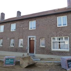
Dorpsstraat 22, Mheer
1.2 km
Dorpsstraat 16, Mheer
1.2 km
Former chaplaincies Mheer
1.2 km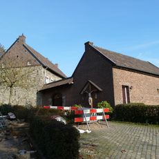
Presbytery Mheer
1.3 km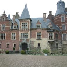
Castle of Mheer: main building
1.2 km
GP24
1 kmRecensioni
Ha visitato questo luogo? Tocchi le stelle per valutarlo e condividere la Sua esperienza o foto con la community! Provalo ora! Puoi annullarlo in qualsiasi momento.
Scopri tesori nascosti ad ogni viaggio!
Da piccoli caffè caratteristici a panorami nascosti, fuggi dalla folla e scova i posti che fanno davvero per te. La nostra app ti semplifica tutto: ricerca vocale, filtri furbi, percorsi ottimizzati e dritte autentiche da viaggiatori di tutto il mondo. Scaricala subito per vivere l'avventura sul tuo smartphone!

Un nuovo approccio alla scoperta turistica❞
— Le Figaro
Tutti i luoghi che meritano di essere esplorati❞
— France Info
Un’escursione su misura in pochi clic❞
— 20 Minutes