
Osterhever, comune tedesco
Posizione: Nordfriesland district
Altezza sopra il mare: 0 m
Sito web: http://amt-eiderstedt.de/index.phtml?sNavID=1840.30
Coordinate GPS: 54.38333,8.78333
Ultimo aggiornamento: 19 marzo 2025 alle 15:55
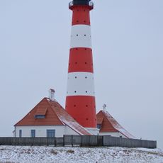
Faro di Westerheversand
9.4 km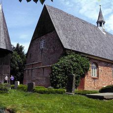
Katharinenheerd Kirche
6.2 km
Schankwirtschaft Andresen
10 km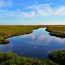
Wadden Sea and Hallig Islands of Schleswig-Holstein Biosphere Reserve
12 km
St.Christian's church
6 km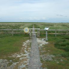
Stockenstieg
8.7 km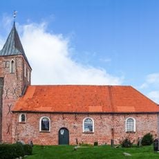
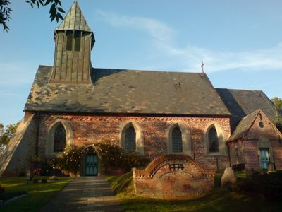
St. Stephanus
7 km
Sender Garding
5.7 km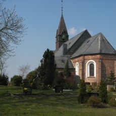
St. John's church
2.9 km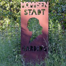
Theodor-Mommsen-Gedächtnis
6.1 km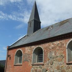
St. Martin-Kirche
10.3 km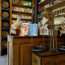
Haus Peters
4.4 km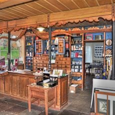
Haus Peters - Historischer Kaufmannsladen von 1820 - Förderverein Haus Peters e.V.
4.4 km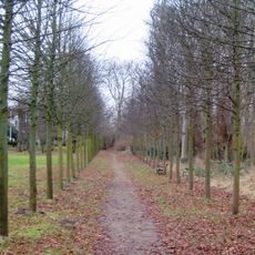
Hochdorfer Garten
8.6 km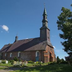
St. Magnus Church
8.3 km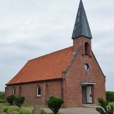
St.Nicholas church
12.6 km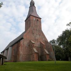
St. Anna Church
4.4 km
St. Martin's Church
1.2 km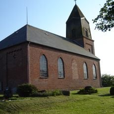
St. Nikolai
9.6 km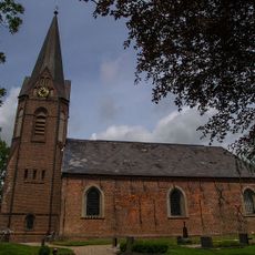
St. Michael Church
9.1 km
Junkernkoog
6.6 km
Haubarg Rosenhof
8 km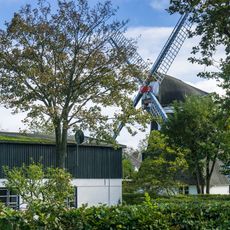
Windmühle „Emanuel“
6 km
Wittendüner Allee 84
11.7 km
Schweizerhaus
8.5 km
Westerhever Sand
10.6 km
Haubarg
7.8 km
Haubarg Stufhusen
7.9 kmRecensioni
Ha visitato questo luogo? Tocchi le stelle per valutarlo e condividere la Sua esperienza o foto con la community! Provalo ora! Puoi annullarlo in qualsiasi momento.
Scopri tesori nascosti ad ogni viaggio!
Da piccoli caffè caratteristici a panorami nascosti, fuggi dalla folla e scova i posti che fanno davvero per te. La nostra app ti semplifica tutto: ricerca vocale, filtri furbi, percorsi ottimizzati e dritte autentiche da viaggiatori di tutto il mondo. Scaricala subito per vivere l'avventura sul tuo smartphone!

Un nuovo approccio alla scoperta turistica❞
— Le Figaro
Tutti i luoghi che meritano di essere esplorati❞
— France Info
Un’escursione su misura in pochi clic❞
— 20 Minutes