Arnsdorf

Accedi al tuo account

AroundUs è una mappa collaborativa di luoghi interessanti, costruita da esploratori curiosi come te. Cresce con ogni recensione, storia e foto che condividi.
Accedi per salvare i tuoi posti preferiti, contribuire con nuovi luoghi e creare percorsi personalizzati.
Continuando, accetti i nostri Termini e Condizioni e la nostra Informativa sulla Privacy

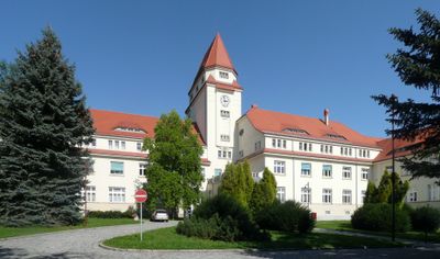
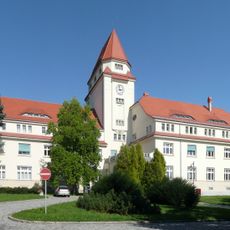
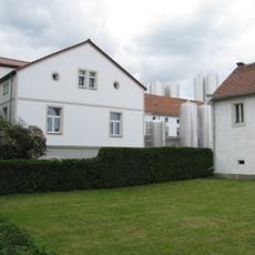
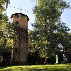
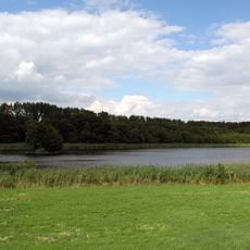
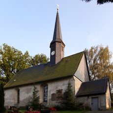
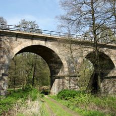
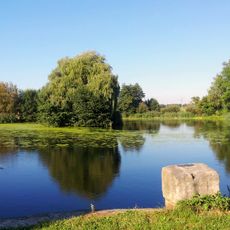
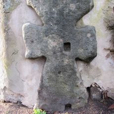
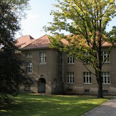
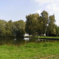
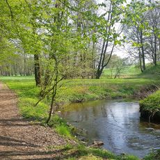
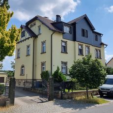
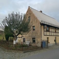
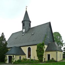
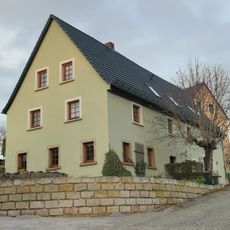
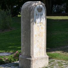
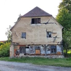
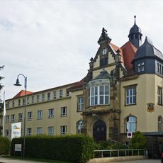
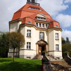
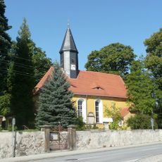
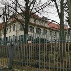
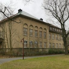
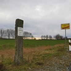
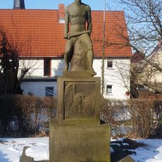
Arnsdorf, comune tedesco

Posizione: Bautzen District

Altezza sopra il mare: 290 m

Confina con: Radeberg, Großröhrsdorf

Sito web: https://gemeindearnsdorf.de

Coordinate GPS: 51.10000,13.98330

Ultimo aggiornamento: 12 marzo 2025 alle 02:21

Intorno a questo luogo
Mostra la mappa completa
Sächsisches Krankenhaus Arnsdorf
Germania

Sächsisches Krankenhaus Arnsdorf

1.2 km
Heinrichsthaler Milchwerke
Germania

Heinrichsthaler Milchwerke

4.1 km
Felixturm
Germania

Felixturm

3.3 km
Rossendorfer Teich
Germania

Rossendorfer Teich

5.3 km
Dorfkirche Wallroda
Germania

Dorfkirche Wallroda

2.4 km
Löwenbrücke (Radeberg)
Germania

Löwenbrücke (Radeberg)

3.5 km
Hofeteich
Germania

Hofeteich

4.7 km
Schwedenstein
Germania

Schwedenstein

673 m
Gebäude B4: Klinikgebäude im Stil der Reformbaukunst (Einzeldenkmal zu ID-Nr. 09284584) Hufelandstraße 15
Germania

Gebäude B4: Klinikgebäude im Stil der Reformbaukunst (Einzeldenkmal zu ID-Nr. 09284584) Hufelandstraße 15

1.4 km
Kirche Kleinwolmsdorf
Germania

Kirche Kleinwolmsdorf

2.5 km
Kirche Seeligstadt
Germania

Kirche Seeligstadt

3.9 km
Massenei
Germania

Massenei

4.5 km
Hüttertal
Germania

Hüttertal

3.9 km
Wohnhaus Kleinwolmsdorfer Straße 5
Germania

Wohnhaus Kleinwolmsdorfer Straße 5

975 m
Mühlstraße 17
Germania

Mühlstraße 17

2.4 km
Sachgesamtheit Ehemalige Königlich Sächsische Pflegeanstalt Arnsdorf (heute Sächsisches Krankenhaus für Psychiatrie und Neurologie Arnsdorf) Hufelandstraße 15; Hufelandstraße 5, 7, 9, 13, 22 (Wohnhaus und Brunnen); bei Hufelandstraße 22 (Brunn
Germania

Sachgesamtheit Ehemalige Königlich Sächsische Pflegeanstalt Arnsdorf (heute Sächsisches Krankenhaus für Psychiatrie und Neurologie Arnsdorf) Hufelandstraße 15; Hufelandstraße 5, 7, 9, 13, 22 (Wohnhaus und Brunnen); bei Hufelandstraße 22 (Brunn

1.2 km
Kirche Fischbach
Germania

Kirche Fischbach

2.8 km
Mühlstraße 21
Germania

Mühlstraße 21

2.4 km
Kgl.-sächs. Postmeilenstein Arnsdorf
Germania

Kgl.-sächs. Postmeilenstein Arnsdorf

932 m
Gasthof „Schwarzes Roß“
Germania

Gasthof „Schwarzes Roß“

3.6 km
Stadtkrankenhaus Radeberg Dr. Paul Kirchner; Asklepios - ASB Klinik Radeberg; Villa (im Portal bezeichnet) ohne Anbau Pulsnitzer Straße 60
Germania

Stadtkrankenhaus Radeberg Dr. Paul Kirchner; Asklepios - ASB Klinik Radeberg; Villa (im Portal bezeichnet) ohne Anbau Pulsnitzer Straße 60

4.5 km
Three former wash houses 1-3 (individual monuments to ID no. 09284584) Hufelandstraße 15 (Stolpener Straße 18, Hufelandstraße/corner of Friedrich-Wolf-Straße, Stolpener Straße/near institutional cemetery)
Germania

Three former wash houses 1-3 (individual monuments to ID no. 09284584) Hufelandstraße 15 (Stolpener Straße 18, Hufelandstraße/corner of Friedrich-Wolf-Straße, Stolpener Straße/near institutional cemetery)

1.5 km
Anstaltskirche Arnsdorf
Germania

Anstaltskirche Arnsdorf

1.3 km
Dorfkirche Arnsdorf
Germania

Dorfkirche Arnsdorf

653 m
Building A5: Clinic building in the style of reform architecture (individual monument to ID no. 09284584) Hufelandstraße 15
Germania

Building A5: Clinic building in the style of reform architecture (individual monument to ID no. 09284584) Hufelandstraße 15

852 m
Building A7: Clinic building in the style of reform architecture (individual monument to ID No. 09284584) Hufelandstraße 15
Germania

Building A7: Clinic building in the style of reform architecture (individual monument to ID No. 09284584) Hufelandstraße 15

936 m
Wegstein Fischbacher Straße (Flurstück 593)
Germania

Wegstein Fischbacher Straße (Flurstück 593)

3.9 km
Denkmal für die Gefallenen des Ersten Weltkrieges, umgeben von steinern eingefasster Grünfläche Großerkmannsdorfer Straße (vor Kirchgemeindehaus)
Germania

Denkmal für die Gefallenen des Ersten Weltkrieges, umgeben von steinern eingefasster Grünfläche Großerkmannsdorfer Straße (vor Kirchgemeindehaus)

2.5 km
Mostra la mappa completa

Recensioni

Ha visitato questo luogo? Tocchi le stelle per valutarlo e condividere la Sua esperienza o foto con la community! Provalo ora! Puoi annullarlo in qualsiasi momento.

« Arnsdorf - comune tedesco » è fornito da Around Us (it.aroundus.com). Le immagini e i testi sono tratti dal progetto Wikimedia con licenza Creative Commons. È possibile copiare, distribuire e modificare copie di questa pagina, alle condizioni stabilite dalla licenza, a condizione che questa nota sia chiaramente visibile.

Scopri tesori nascosti ad ogni viaggio!

Da piccoli caffè caratteristici a panorami nascosti, fuggi dalla folla e scova i posti che fanno davvero per te. La nostra app ti semplifica tutto: ricerca vocale, filtri furbi, percorsi ottimizzati e dritte autentiche da viaggiatori di tutto il mondo. Scaricala subito per vivere l'avventura sul tuo smartphone!

Around Us App Screenshot

Un nuovo approccio alla scoperta turistica

Le Figaro

Tutti i luoghi che meritano di essere esplorati

France Info

Un’escursione su misura in pochi clic

20 Minutes