
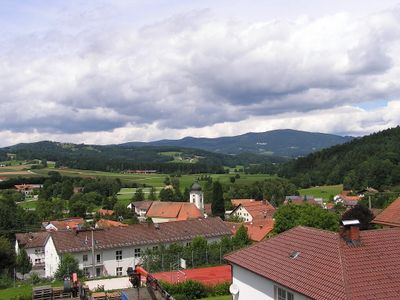
Auerbach, municipality of Germany
Posizione: Deggendorf
Altezza sopra il mare: 396 m
Sito web: http://www.gemeinde-auerbach.de
Confina con: Lalling, Schaufling, Grattersdorf, Hengersberg
Sito web: http://gemeinde-auerbach.de
Coordinate GPS: 48.80361,13.10028
Ultimo aggiornamento: 6 marzo 2025 alle 18:30
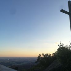
Büchelstein
5.5 km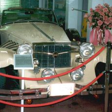
Streicher Fahrzeug- und Kunstmuseum
4.8 km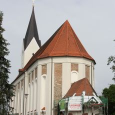
St. Michael
4.5 km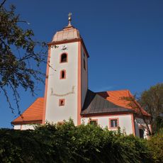
St. Johannes und St. Paulus
3.5 km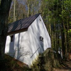
Wallfahrtskapelle Rastbuche in Grattersdorf
5.4 km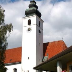
Mariä Himmelfahrt
5.2 km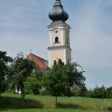
Katholische Pfarrkirche St. Stephan
5.5 km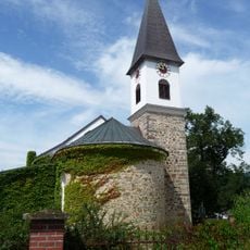
Vierzehn Nothelfer
5.1 km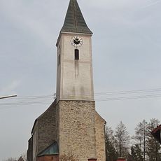
Katholische Pfarrkirche St. Peter und Paul
4.4 km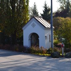
Kapelle
4.8 km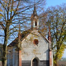
Kapelle
3.8 km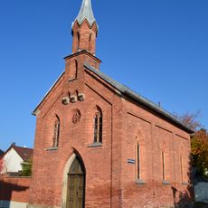
Kapelle, sogenannte Josefskapelle
4.9 km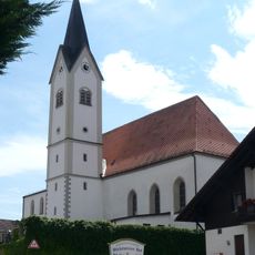
St. Ägidius
3.8 km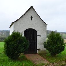
Kapelle, sogenannte Schwarzmühl-Kapelle
4 km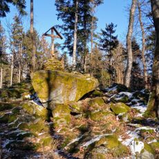
Schützinger Berg S von Schützing
6 km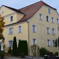
Wohnhaus
5.1 km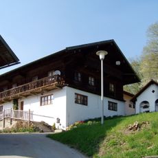
Grattersdorf Falkenacker 3
4.3 km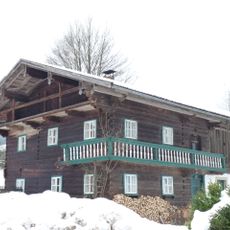
Mitterstallhaus
4.9 km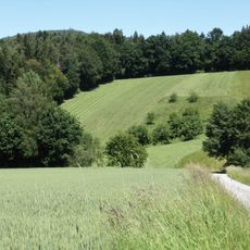
Obere Hengersberger Ohe mit Hangwiesen
4.3 km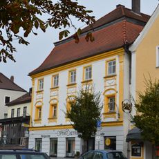
Wohn- und Geschäftshaus
4.8 km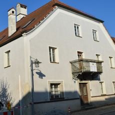
Ehemals Tuchmacherhaus
4.8 km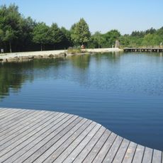
Kurpark
5 km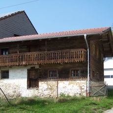
Ehemaliges Austragshaus
4.3 km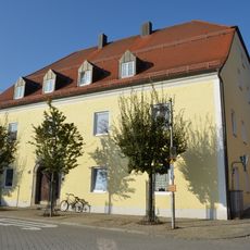
Ehemals Gasthaus
4.8 km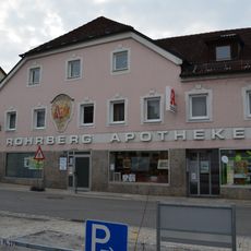
Wohn- und Geschäftshaus
4.9 km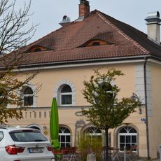
Wohn- und Geschäftshaus
4.9 km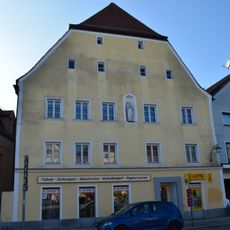
Ehemals Pfleggericht
4.9 km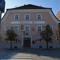
Gasthof
4.9 kmRecensioni
Ha visitato questo luogo? Tocchi le stelle per valutarlo e condividere la Sua esperienza o foto con la community! Provalo ora! Puoi annullarlo in qualsiasi momento.
Scopri tesori nascosti ad ogni viaggio!
Da piccoli caffè caratteristici a panorami nascosti, fuggi dalla folla e scova i posti che fanno davvero per te. La nostra app ti semplifica tutto: ricerca vocale, filtri furbi, percorsi ottimizzati e dritte autentiche da viaggiatori di tutto il mondo. Scaricala subito per vivere l'avventura sul tuo smartphone!

Un nuovo approccio alla scoperta turistica❞
— Le Figaro
Tutti i luoghi che meritano di essere esplorati❞
— France Info
Un’escursione su misura in pochi clic❞
— 20 Minutes