
Emleben, municipality of Germany
Posizione: Gotha
Altezza sopra il mare: 340 m
Sito web: http://www.vg-apfelstaedtaue.de/
Confina con: Leinatal, Gotha
Sito web: http://vg-apfelstaedtaue.de
Coordinate GPS: 50.89245,10.69534
Ultimo aggiornamento: 23 marzo 2025 alle 23:34
Pferderennbahn Gotha-Boxberg
3 km
Tierpark Gotha
5 km
Wasserschloss Günthersleben
4.6 km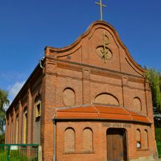
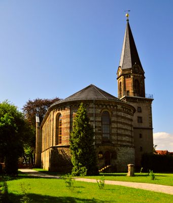
Christkönig (Gotha)
4.9 km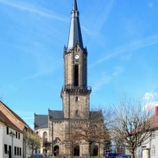
St. Viti (Wechmar)
5.5 km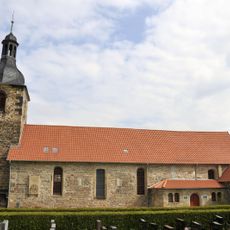
St. Petri (Günthersleben)
4.9 km
Gräberfeld von Boilstädt
4.5 km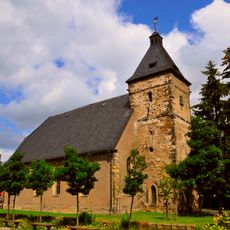
St. Johannis
2.3 km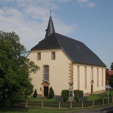
St.-Nikolai-Kirche
4.3 km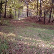
Tannenburg
6.7 km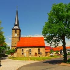
St. Katharina
6.1 km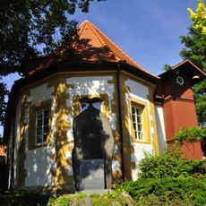
Dorfkirche Gospiteroda
3.5 km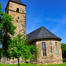
St. Nicolaus
4.6 km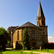
St. Bonifatius
266 m
Wechmar, Landhaus Studnitz
5.6 km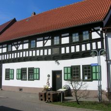
Bach-Stammhaus
5.8 km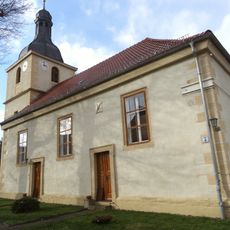
St. Quirinus (Boilstädt)
3.2 km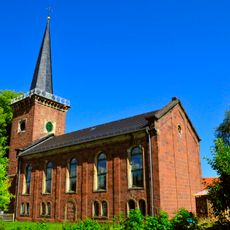
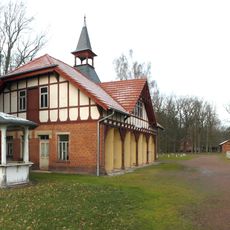
Protestant Church Herrenhof
5.8 km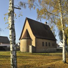
Protestant Church (Töpfleben)
4.5 km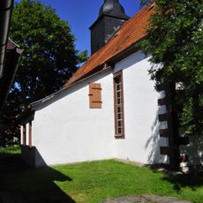
Protestant Church Petriroda
2.8 km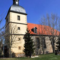
St. Trinitatis (Schwabhausen)
2.8 km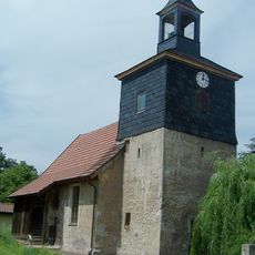
Protestant Church Cumbach
5.9 km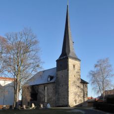
Protestant Church Schönau v.d.W.
5.6 km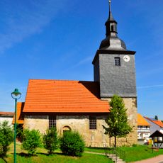
Protestant Church Wipperoda
3.3 km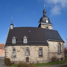
Protestant Church Hohenkirchen
4.9 km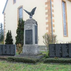
War memorial Sundhausen (Gotha)
4.3 km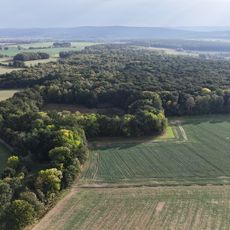
Hirzberg - Wannigsrod - Kranichmoor
4 km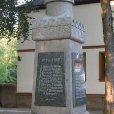
War memorial Emleben
253 mRecensioni
Ha visitato questo luogo? Tocchi le stelle per valutarlo e condividere la Sua esperienza o foto con la community! Provalo ora! Puoi annullarlo in qualsiasi momento.
Scopri tesori nascosti ad ogni viaggio!
Da piccoli caffè caratteristici a panorami nascosti, fuggi dalla folla e scova i posti che fanno davvero per te. La nostra app ti semplifica tutto: ricerca vocale, filtri furbi, percorsi ottimizzati e dritte autentiche da viaggiatori di tutto il mondo. Scaricala subito per vivere l'avventura sul tuo smartphone!

Un nuovo approccio alla scoperta turistica❞
— Le Figaro
Tutti i luoghi che meritano di essere esplorati❞
— France Info
Un’escursione su misura in pochi clic❞
— 20 Minutes