Gleesberg, Vetta montana vicino a Schneeberg, Germania.
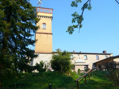
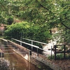
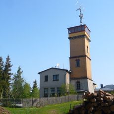
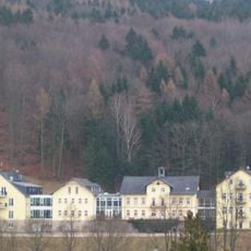
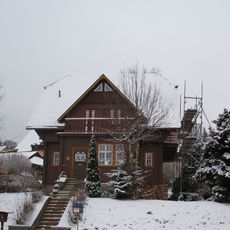
Il Gleesberg è una montagna vicino a Schneeberg nell'est della Germania, che si eleva a circa 593 metri tra le città di Aue e Schneeberg. I sentieri escursionistici attraversano i pendii boscosi, offrendo accesso al paesaggio circostante.
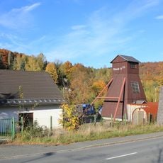
La montagna prende il nome dalle formazioni rocciose ricche di mica scoperte durante le prime attività minerarie della regione. L'area ha giocato un ruolo importante nella storia mineraria dei Monti Metalliferi.
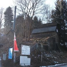
Gli abitanti locali frequentano i sentieri della montagna per attività ricreative mentre utilizzano la sorgente ricca di radon alla sua base.
Diversi sentieri escursionistici attraversano il terreno montuoso con livelli di difficoltà variabili per adattarsi a diverse abilità. Il periodo migliore per visitare è da primavera a autunno quando i sentieri sono più accessibili.
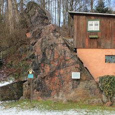
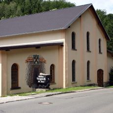
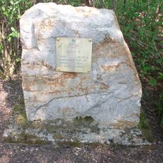
Alla base della montagna sgorga la Gleesbergquelle, una sorgente naturale ricca di radon che serve a scopi terapeutici. L'acqua viene incanalata alla vicina struttura termale di Schlema per trattamenti di benessere.
La comunità dei viaggiatori curiosi
AroundUs riunisce migliaia di luoghi selezionati, consigli locali e gemme nascoste, arricchiti ogni giorno da oltre 60,000 contributori in tutto il mondo.