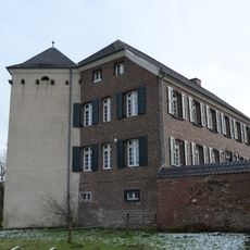
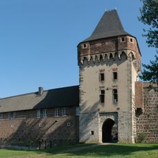
Wahler Berg, protected area in the European Union defined by the habitats directive in Nordrhein-Westfalen, Germany
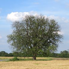
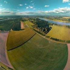
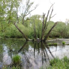
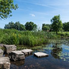
Il Wahler Berg è una riserva naturale a Dormagen con dune di sabbia aperte e aree di brughiera adiacenti che coprono circa 9 ettari. Presenta pini e querce insieme a zone dove crescono l'erba argentata, il giglio della sabbia e altre piante pioniere adattate a terreni sabbiosi e secchi.
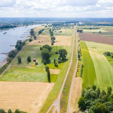
Circa 13.000 anni fa, dopo l'ultima era glaciale, si formarono dune di sabbia qui quando il vento e l'acqua trasportarono materiale dal bacino del Reno. Il sito rappresenta ciò che resta delle brughiere espanse che un tempo coprivano la regione ed è protetto dal 1980.
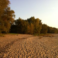
Il Wahler Berg è noto localmente come luogo di osservazione della natura e di svago all'aperto, con il suo nome legato alla posizione geografica. Gli agricoltori locali e i gruppi di conservazione lavorano insieme per mantenere il paesaggio, utilizzando il pascolo delle pecore per evitare che le dune si ricoprano di vegetazione e preservare il loro carattere aperto.
L'area è accessibile attraverso sentieri ben mantenuti che ti permettono di camminare vicino alle dune e osservare lucertole, coleotteri e altra fauna. Pannelli informativi spiegano l'importanza del sito per la conservazione della natura e descrivono gli sforzi di gestione che lo mantengono in buone condizioni.
Il sito ospita specie di farfalle rare trovate in pochi altri luoghi in Europa, le cui larve si alimentano dell'euforbia di cipresso, una pianta che cresce quasi solo qui. Questo rapporto specializzato tra larva e pianta rende il Wahler Berg un rifugio essenziale per questi insetti.
La comunità dei viaggiatori curiosi
AroundUs riunisce migliaia di luoghi selezionati, consigli locali e gemme nascoste, arricchiti ogni giorno da oltre 60,000 contributori in tutto il mondo.