
Reinharz, human settlement in Germany
Posizione: Bad Schmiedeberg
Coordinate GPS: 51.70080,12.67850
Ultimo aggiornamento: 8 aprile 2025 alle 02:59
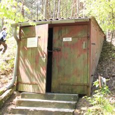
Bunker Kossa-Söllichau
7 km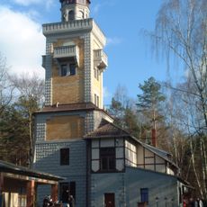
Kaiser-Wilhelm-Tower
3.6 km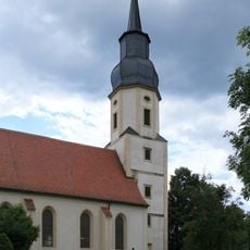
Protestant church Reinharz
417 m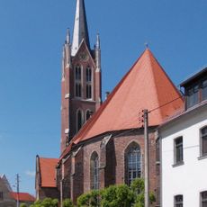
Stadtkirche St. Marien (Kemberg)
8.6 km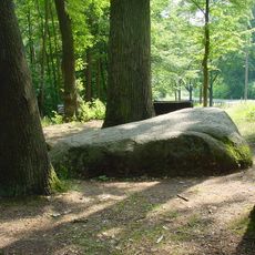
Lutherstein (Dübener Heide)
5.7 km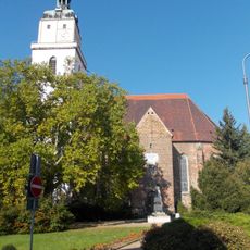
St. Nicolai protestant church
4.3 km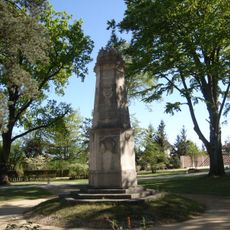
Bundesdenkmal des Bundes Deutscher Radfahrer
4.1 km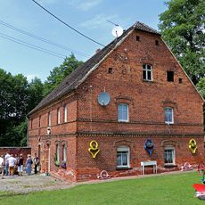
Döbelts Mühle
8.4 km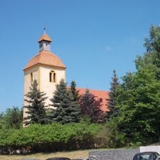
Protestant Church Rotta
8.9 km
Protestant church Österitz
4.6 km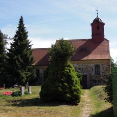
Protestant church Ogkeln
3.1 km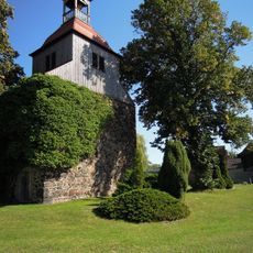
Protestant church Gommlo
4.2 km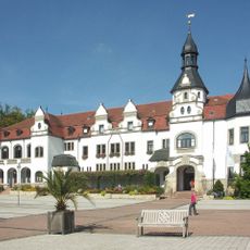
Kurhaus Bad Schmiedeberg
4.1 km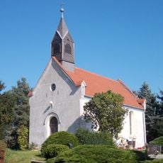
Protestant Church Patzschwig
5.6 km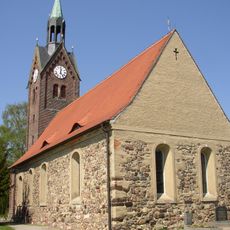
Protestant Church Söllichau
7.8 km
Protestant Church (Laußig)
9 km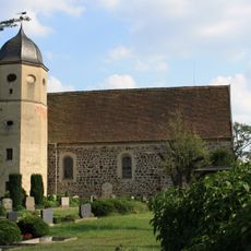
Field stone church Meuro
2.8 km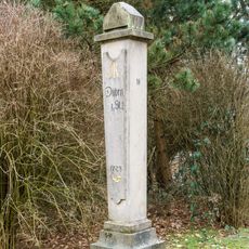
Polish-Saxon Post Milestone Tornau
7.7 km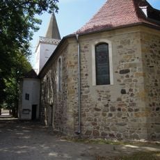
Protestant church Trebitz
7.7 km
NVA command post Söllichau
6.8 km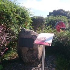
Gedenkstein Bahnhof Kleinspurbahn Kemberg
8.3 km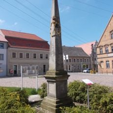
Polish-Saxon Post Milestone in Kemberg
8.6 km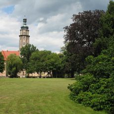
Schlosspark Reinharz
499 m
Gedenkstätte Lager Heide
7.2 km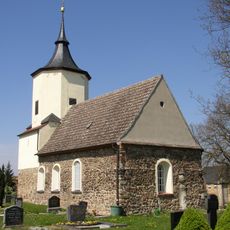
Sachgesamtheit Dorfkirche und Kirchhof Durchwehna, mit folgenden Einzeldenkmalen: Kirche mit Ausstattung, Kirchhof, acht Grabmale, Denkmal für die Gefallenen des Ersten Weltkrieges und Kirchhofseinfriedung (siehe Einzeldenkmalliste - Obj. 08974085)
9 km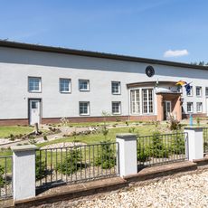
Wasserwerk Durchwehna
7.9 km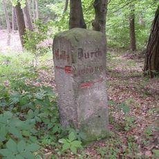
Wegestein Durchwehna
7.1 km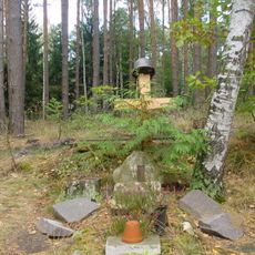
Soldatengrab (Dübener Heide)
5.2 kmRecensioni
Ha visitato questo luogo? Tocchi le stelle per valutarlo e condividere la Sua esperienza o foto con la community! Provalo ora! Puoi annullarlo in qualsiasi momento.
Scopri tesori nascosti ad ogni viaggio!
Da piccoli caffè caratteristici a panorami nascosti, fuggi dalla folla e scova i posti che fanno davvero per te. La nostra app ti semplifica tutto: ricerca vocale, filtri furbi, percorsi ottimizzati e dritte autentiche da viaggiatori di tutto il mondo. Scaricala subito per vivere l'avventura sul tuo smartphone!

Un nuovo approccio alla scoperta turistica❞
— Le Figaro
Tutti i luoghi che meritano di essere esplorati❞
— France Info
Un’escursione su misura in pochi clic❞
— 20 Minutes