
Spithal, human settlement in Germany
Posizione: Bergen an der Dumme
Coordinate GPS: 52.90510,10.91363
Ultimo aggiornamento: 6 marzo 2025 alle 23:46

Gut Schnega
2 km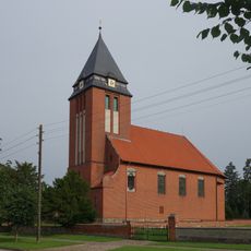
Protestant Church Lagendorf
9.5 km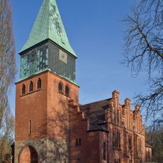
St. Michaelis (Schnega)
2 km
Breite Straße
3.3 km
St. Johannes Maria Vianney
4.8 km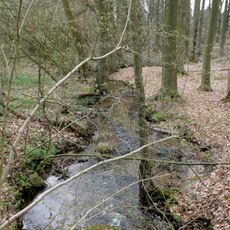
Schnegaer Mühlenbachtal
2.6 km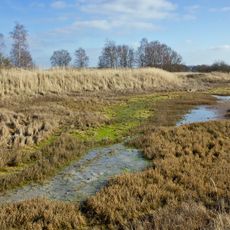
Mittlere Dumme und Püggener Moor
8.5 km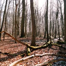
Gain
4.9 km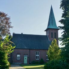
Church of Saint James (Nestau)
9.4 km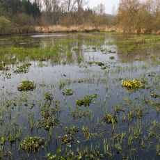
Obere Dummeniederung
4.6 km
Saint Martin Church
7.9 km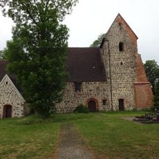
Dorfkirche Henningen
7.8 km
Mary Magdalene Chapel
9.4 km
Saint Paul Church (Bergen an der Dumme)
3.4 km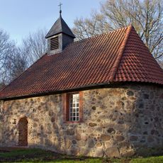
St. Michael's Chapel (Müssingen, Soltendieck)
7.8 km
Chapel of Dalldorf
7.9 km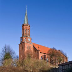
Saint Bartholomew Church
4.2 km
Protestant Church (Zeetze)
8 km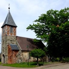
Dorfkirche Barnebeck
6.8 km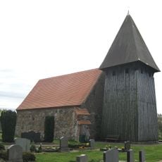
Dorfkirche Dahrendorf
7.9 km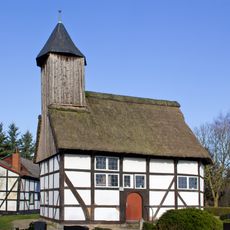
St. Andreas
5.5 km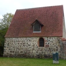
Kirche Hohendolsleben
9.2 km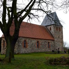
Protestant Church (Rockenthin)
8.1 km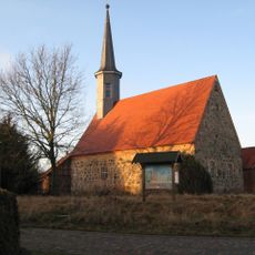
Protestant Church (Seebenau)
8.4 km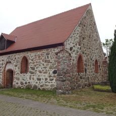
Kirche Kortenbeck
7.6 km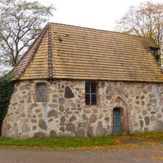
Kirche Klein Grabenstedt
5.5 km
Protestant Church
9.4 km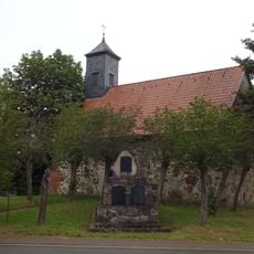
Dorfkirche Andorf
7.7 kmRecensioni
Ha visitato questo luogo? Tocchi le stelle per valutarlo e condividere la Sua esperienza o foto con la community! Provalo ora! Puoi annullarlo in qualsiasi momento.
Scopri tesori nascosti ad ogni viaggio!
Da piccoli caffè caratteristici a panorami nascosti, fuggi dalla folla e scova i posti che fanno davvero per te. La nostra app ti semplifica tutto: ricerca vocale, filtri furbi, percorsi ottimizzati e dritte autentiche da viaggiatori di tutto il mondo. Scaricala subito per vivere l'avventura sul tuo smartphone!

Un nuovo approccio alla scoperta turistica❞
— Le Figaro
Tutti i luoghi che meritano di essere esplorati❞
— France Info
Un’escursione su misura in pochi clic❞
— 20 Minutes