
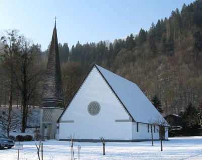
Auferstehungskirche, um annähernd quadratischen Kirchhof angelegte Baugruppe, 1957-58 von Franz Lichtblau;
Posizione: Oberaudorf
Indirizzo: Bad-Trißl-Straße 33 a; 33; 33c
Coordinate GPS: 47.65205,12.16256
Ultimo aggiornamento: 11 marzo 2025 alle 06:36
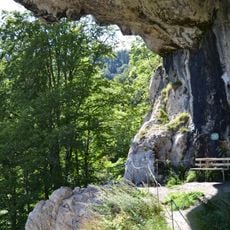
Luegsteinhöhle
1.2 km
Florianistraße 3
1 km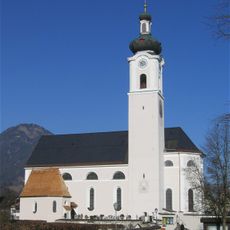
Pfarrkirche zu Unserer Lieben Frau
879 m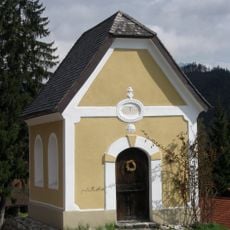
Hofwirtskapelle
1.1 km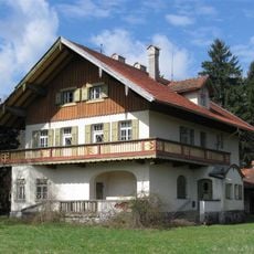
Rosenheimer Straße 79
959 m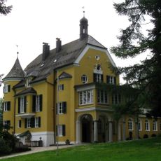
Villa Sachs
1.2 km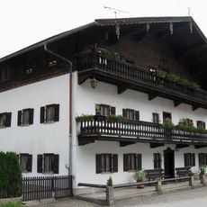
Lindenstraße 2
842 m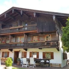
Carl-Hagen-Straße 12
687 m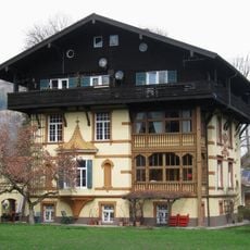
Rosenheimer Straße 59
797 m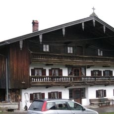
Brechhütte
876 m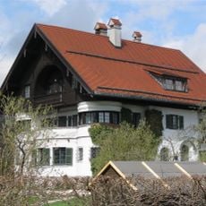
Villa, jetzt Sitz der Riemerschmidstiftung
838 m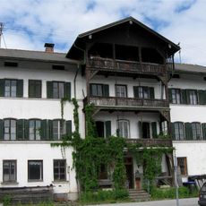
Bahnhofplatz 3
914 m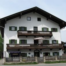
Carl-Hagen-Straße 4
747 m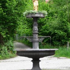
Marienbrunnen
973 m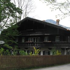
Carl-Hagen-Straße 18
660 m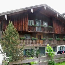
Bauernhaus, Einfirsthof
984 m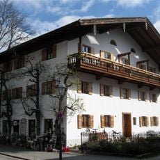
Ehemals Bauernhaus, Einfirsthof
847 m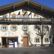
Rosenheimer Straße 13
775 m
Rosenheimer Straße 3
858 m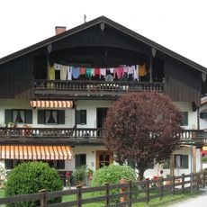
Carl-Hagen-Straße 10
702 m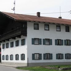
Carl-Hagen-Straße 6
719 m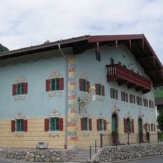
Wohnteil des ehemaligen Kramer- und Tuchschneiderhauses
1 km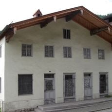
Ehemals Handwerkerhaus
961 m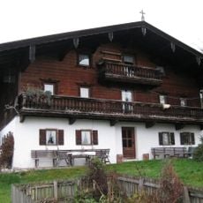
Eck 6
1 km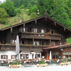
Tatzelwurmstraße 40
1.1 km
Bauernhaus, Einfirsthof
1.1 km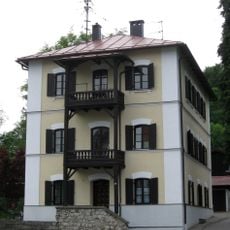
Kufsteiner Straße 20
1.1 km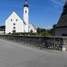
Friedhofsmauer Sankt-Josef-Spital-Straße 1 in Oberaudorf
878 mRecensioni
Ha visitato questo luogo? Tocchi le stelle per valutarlo e condividere la Sua esperienza o foto con la community! Provalo ora! Puoi annullarlo in qualsiasi momento.
Scopri tesori nascosti ad ogni viaggio!
Da piccoli caffè caratteristici a panorami nascosti, fuggi dalla folla e scova i posti che fanno davvero per te. La nostra app ti semplifica tutto: ricerca vocale, filtri furbi, percorsi ottimizzati e dritte autentiche da viaggiatori di tutto il mondo. Scaricala subito per vivere l'avventura sul tuo smartphone!

Un nuovo approccio alla scoperta turistica❞
— Le Figaro
Tutti i luoghi che meritano di essere esplorati❞
— France Info
Un’escursione su misura in pochi clic❞
— 20 Minutes