
Wohnteil des Bauernhauses, building in Raubling, Upper Bavaria, Germany
Posizione: Raubling
Indirizzo: Sonnenläng 4
Coordinate GPS: 47.78653,12.10705
Ultimo aggiornamento: 14 agosto 2025 alle 00:55
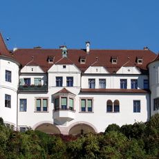
Schloss Neubeuern
2.7 km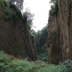
Wolfsschlucht
2.5 km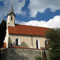
St. Peter (Reischenhart)
2 km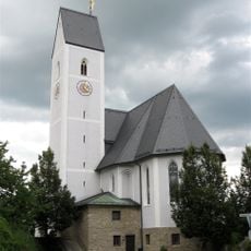
St. Ursula
789 m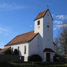
St. Theresia von Lisieux (Nicklheim)
2.1 km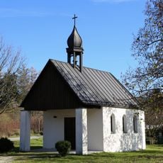
St. Erasmus
1.2 km
St. Nikolaus (Pfraundorf)
2.1 km
Kapelle an der Nicklheimer Straße
168 m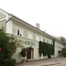
Rosenheimer Straße 8
2.2 km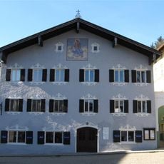
Wohnhaus
2.7 km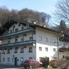
Ehem Bauernhaus
2.3 km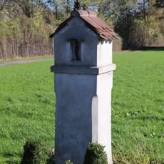
Bildstock
2.4 km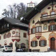
Ensemble Ortskern Neubeuern
2.7 km
Rosenheimer Straße 31 a-g (Redenfelden)
1.2 km
Rosenheimer Straße 26 (Redenfelden)
1.3 km
Rosenheimer Straße 1
2.3 km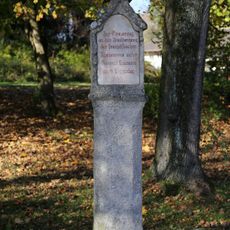
Bildstock
1.2 km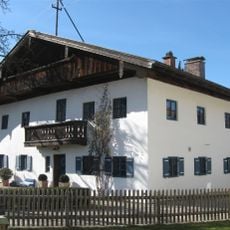
Ehem. Bauernhaus
2.2 km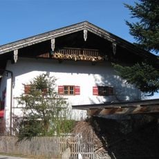
Ehem. Schiffsmeisteranwesen
2.2 km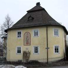
Kufsteiner Straße 83
872 m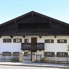
Bauernhaus
1.4 km
Marktplatz 1
2.7 km
Marktplatz 3
2.7 km
Marktplatz 4
2.7 km
Wohnteil eines Einfirsthofes
832 m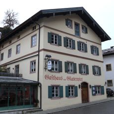
Gasthaus
2.7 km
Marktplatz 31
2.7 km
Ehem. Bräuhaus
2.6 kmRecensioni
Ha visitato questo luogo? Tocchi le stelle per valutarlo e condividere la Sua esperienza o foto con la community! Provalo ora! Puoi annullarlo in qualsiasi momento.
Scopri tesori nascosti ad ogni viaggio!
Da piccoli caffè caratteristici a panorami nascosti, fuggi dalla folla e scova i posti che fanno davvero per te. La nostra app ti semplifica tutto: ricerca vocale, filtri furbi, percorsi ottimizzati e dritte autentiche da viaggiatori di tutto il mondo. Scaricala subito per vivere l'avventura sul tuo smartphone!

Un nuovo approccio alla scoperta turistica❞
— Le Figaro
Tutti i luoghi che meritano di essere esplorati❞
— France Info
Un’escursione su misura in pochi clic❞
— 20 Minutes