
Kriegerdenkmal, Denkmal für die Gefallenen des Deutsch-Französischen Krieges 1870/71, Obelisk auf Postament und Sockel, Granit, letztes Viertel des 19. Jahrhunderts
Posizione: Ebersberg
Indirizzo: Sudetenstraße / Floßmannstraße
Coordinate GPS: 48.07882,11.95879
Ultimo aggiornamento: 31 maggio 2025 alle 10:42
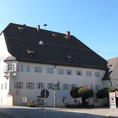
Ehemalige Klostertaverne, jetzt Rathaus
749 m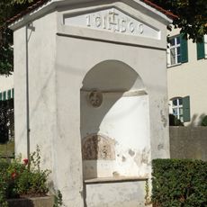
Nischenkapelle
919 m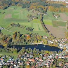
Schutz der Weiherkette in der Stadt Ebersberg als LSG
573 m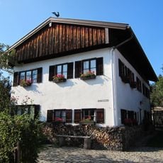
Ehemaliges Armen- und Krankenhaus
734 m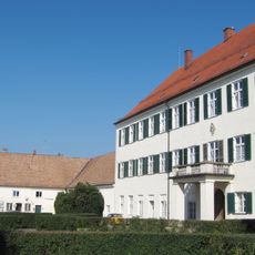
Ehem. Klosterbrauerei
916 m
Cultural heritage D-1-7937-0013 in Ebersberg
842 m
Gasthof
714 m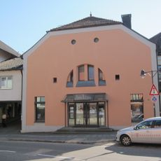
Kino im alten Kino
682 m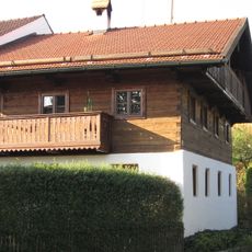
Wohnteil des ehemaligen Bauernhofs
583 m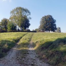
Hupfauer Höhe in Ebersberg
664 m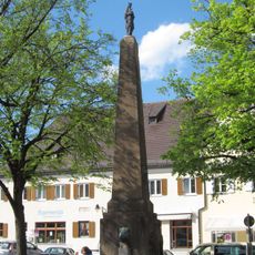
Mariensäule
835 m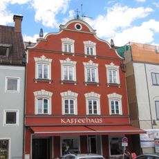
Ehemalige Schmiede und Krämerei
826 m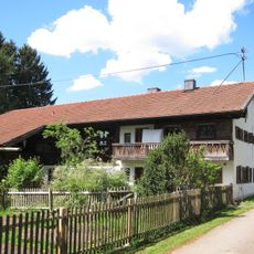
Ehemaliger Einfirsthof
658 m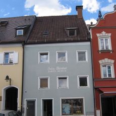
Ehemaliger Mehlhandel und Geburtshaus des Forstbiologen Pater Candid Huber
819 m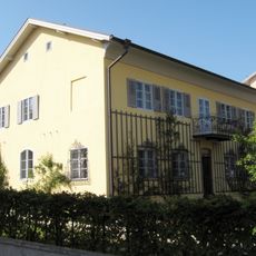
Ehemaliges Pfarrhaus
901 m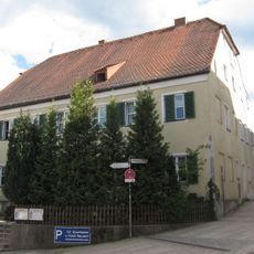
Gasthaus Neuwirt
850 m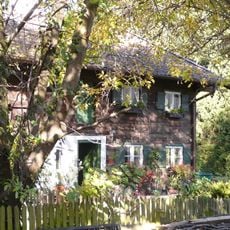
Ehemaliger Bauernhof
797 m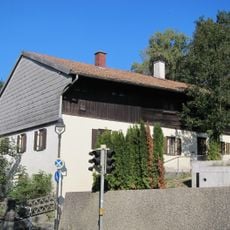
Ehem. Bauernhof
649 m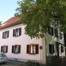
Wohnhaus
804 m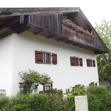
Wohnteil des ehemaligen Einfirsthofs
678 m
Allee
852 m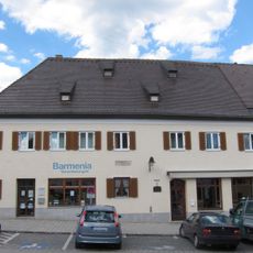
Ehem. Gasthaus Kyrmayr
799 m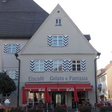
Ehemalige Herberge
766 m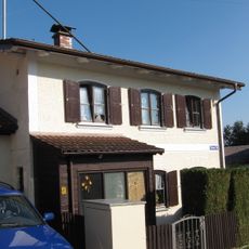
Wohnhaus
922 m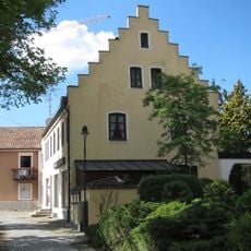
Wohn- und Geschäftshaus
877 m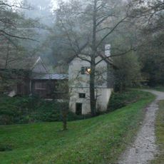
Ehemaliges Wasserhaus am Langweiher
415 m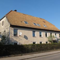
Wohnhaus
711 m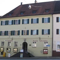
Ehem. Schulhaus
787 mRecensioni
Ha visitato questo luogo? Tocchi le stelle per valutarlo e condividere la Sua esperienza o foto con la community! Provalo ora! Puoi annullarlo in qualsiasi momento.
Scopri tesori nascosti ad ogni viaggio!
Da piccoli caffè caratteristici a panorami nascosti, fuggi dalla folla e scova i posti che fanno davvero per te. La nostra app ti semplifica tutto: ricerca vocale, filtri furbi, percorsi ottimizzati e dritte autentiche da viaggiatori di tutto il mondo. Scaricala subito per vivere l'avventura sul tuo smartphone!

Un nuovo approccio alla scoperta turistica❞
— Le Figaro
Tutti i luoghi che meritano di essere esplorati❞
— France Info
Un’escursione su misura in pochi clic❞
— 20 Minutes