
Part of city walls and remains of a defensive tower
Part of city walls and remains of a defensive tower, erste Hälfte 15. Jahrhundert; zwischen Nr. 17 und 19; nicht mehr in Denkmalliste (11.09.2019)
Posizione: Beilngries
Indirizzo: Stadtgraben
Coordinate GPS: 49.03527,11.47152
Ultimo aggiornamento: 6 marzo 2025 alle 08:48

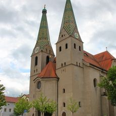
Saint Walburga
139 m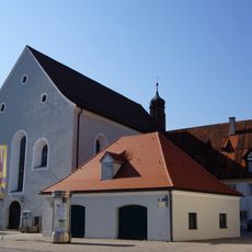
Former Franciscan Monastery
67 m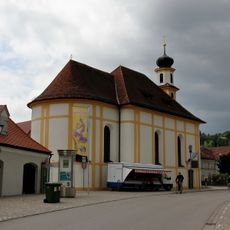
Saint Mary
110 m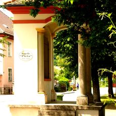
Pietà chapel
137 m
Former brewery of franciscan monastery
92 m
Pharmacy
109 m
Monastery church St. Trinity
70 m
Wayside shrine
44 m
Ensemble former tax office
130 m
Former monastery guest house
72 m
Town house
126 m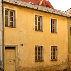
Residential building
104 m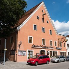
Goldener Hahn hotel ensemble
135 m
Sauhüterturm
39 m
Wasserschöpferturm
78 m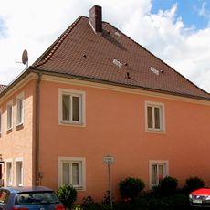
Residential building
131 m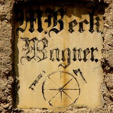
Inscription table
131 m
Residential building
126 m
Strohbauernturm
118 m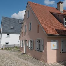
Residential building
45 m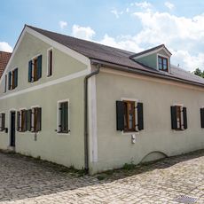
Small house
121 m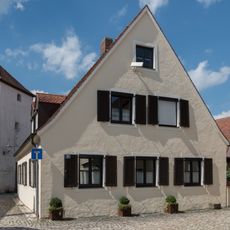
Residential building
41 m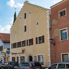
Town house ensemble
109 m
Town house
121 m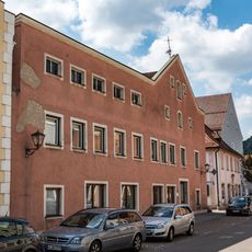
Former Wagnerbräu inn
87 m
City walls section
68 m
Former episcopal forest office
81 m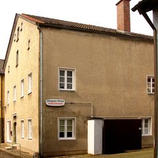
Crafter's house
89 mRecensioni
Ha visitato questo luogo? Tocchi le stelle per valutarlo e condividere la Sua esperienza o foto con la community! Provalo ora! Puoi annullarlo in qualsiasi momento.
Scopri tesori nascosti ad ogni viaggio!
Da piccoli caffè caratteristici a panorami nascosti, fuggi dalla folla e scova i posti che fanno davvero per te. La nostra app ti semplifica tutto: ricerca vocale, filtri furbi, percorsi ottimizzati e dritte autentiche da viaggiatori di tutto il mondo. Scaricala subito per vivere l'avventura sul tuo smartphone!

Un nuovo approccio alla scoperta turistica❞
— Le Figaro
Tutti i luoghi che meritano di essere esplorati❞
— France Info
Un’escursione su misura in pochi clic❞
— 20 Minutes